Want more images or videos?
Request additional images or videos from the seller
1 of 6

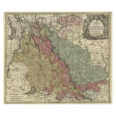
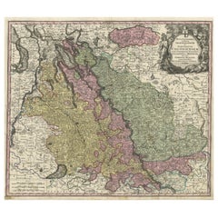
Antique Map of Cologne with the duchies of Jülich and Berg, Germany

$445.33
$556.6620% Off
£329.60
£41220% Off
€376VAT Included
€47020% Off
CA$616.19
CA$770.2320% Off
A$618.13
A$772.6620% Off
CHF 360.98
CHF 451.2220% Off
MX$7,525.87
MX$9,407.3320% Off
NOK 4,145.06
NOK 5,181.3220% Off
SEK 4,268.77
SEK 5,335.9620% Off
DKK 2,866.72
DKK 3,583.4020% Off

About the Item

Antique map title 'Archiepiscopatus Coloniensis ducatibus Iuliacensi et Montensi (..)'. Original map of Cologne with the duchies of Jülich and Berg, Spanish Geldern and the county of Moers, Germany. With large cartouche surrounded by putti. Published by G. Valk, circa 1690.
  • Dimensions:
    Height: 20.67 in (52.5 cm)Width: 24.02 in (61 cm)Depth: 0.02 in (0.5 mm)
  • Materials and Techniques:
  • Period:
    Late 17th Century
  • Date of Manufacture:
    c.1690
  • Condition:
    Repaired: Repair on folding line and bottom left corner. Right and top margin extended. Original/contemporary hand coloring. Repair on folding line and bottom left corner. Right and top margin extended. Age-related toning. Minor wear and soiling. Blank verso. Please study image carefully.
  • Seller Location:
    Langweer, NL
  • Reference Number:
    Seller: BG-13442-41stDibs: LU3054335139682

More From This Seller

View All
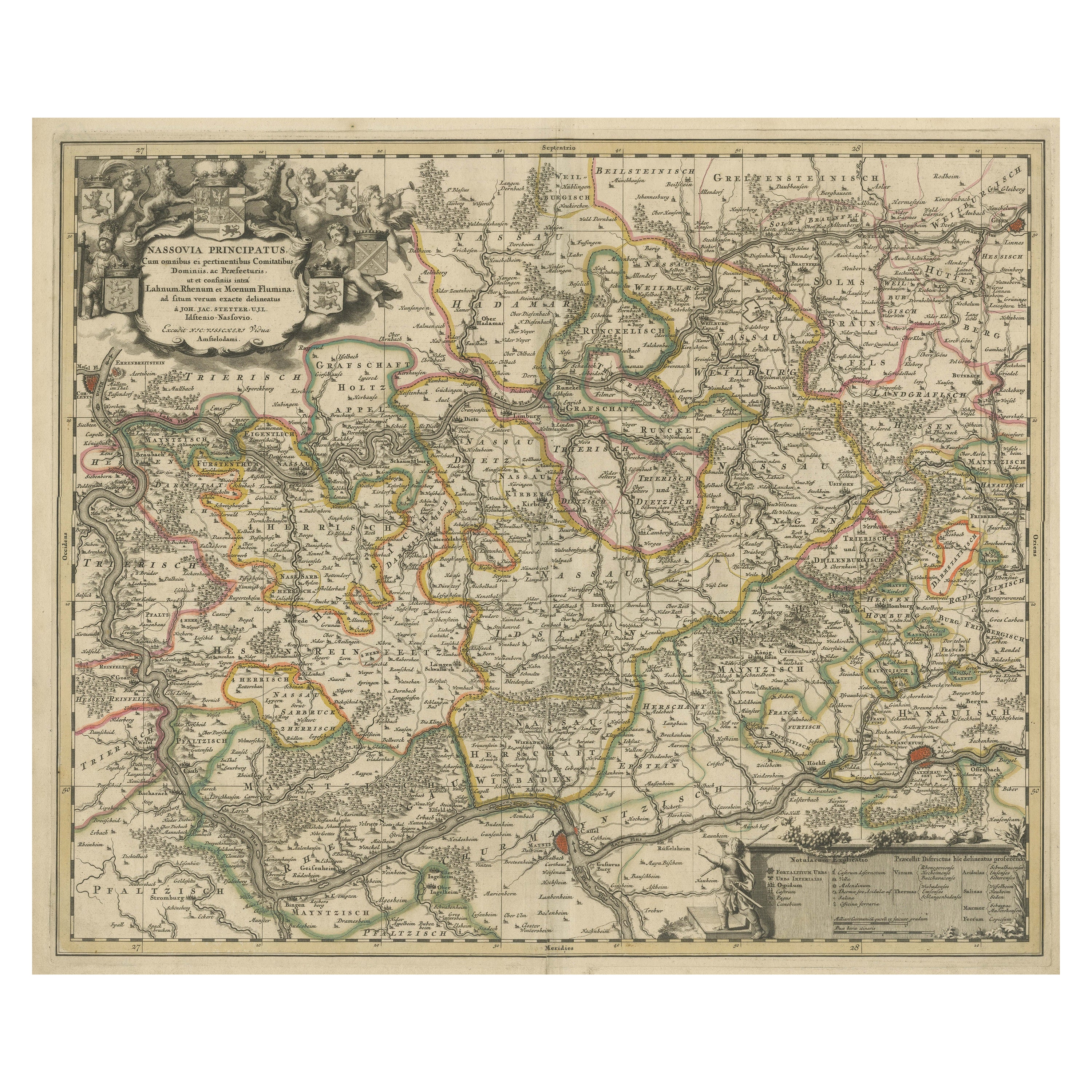
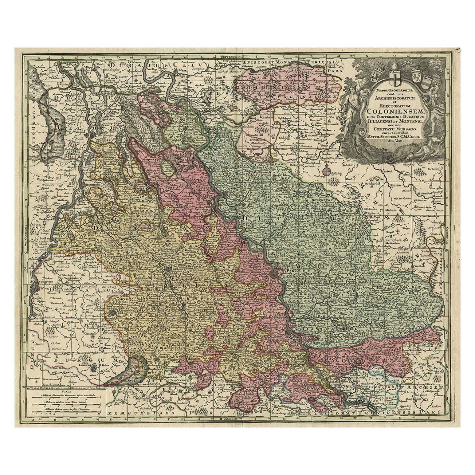
Antique Map of both sides of the Central Rhine River, Germany

Antique Map of both sides of the Central Rhine River, Germany

Located in Langweer, NL

Antique map titled 'Mappa Geographica continens Archiepiscopatum et Electoratum Coloniensem (..)'. Decorative map of region on either side of the Central Rhine River, showing Dusseld...

Category

Antique Mid-18th Century Maps

Materials

Paper

Antique Map of the Rhine centered on Cologne, Germany

Antique Map of the Rhine centered on Cologne, Germany

Located in Langweer, NL

Antique map titled 'Archiepsiscopatus et Electoratus Coloniensis (..)'. Original antique map of the Rhine river, centered on Cologne, Germany. The Rhine River cuts across this map fr...

Category

Antique Early 18th Century Maps

Materials

Paper

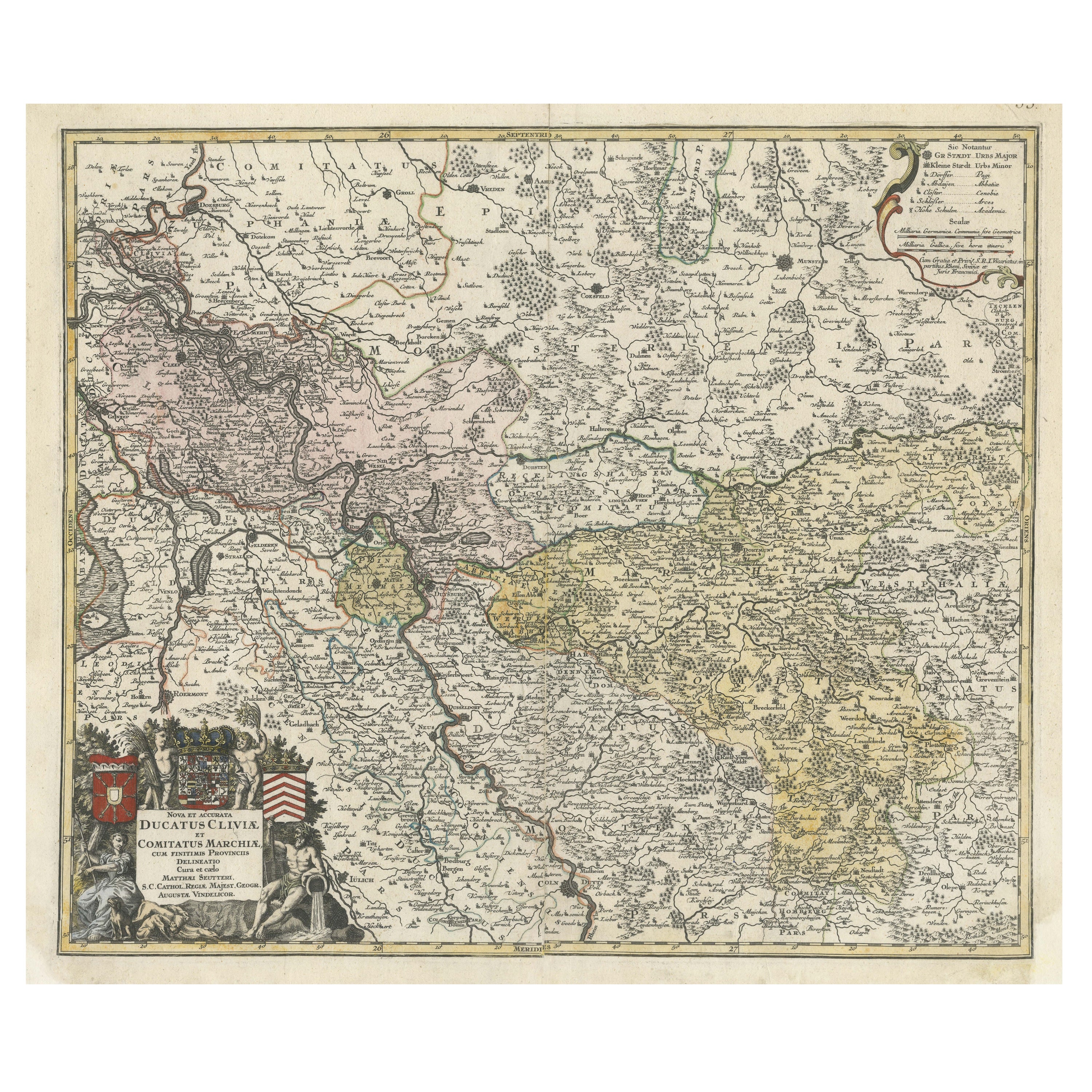
Antique Map of Western Germany with part of the Netherlands

Antique Map of Western Germany with part of the Netherlands

Located in Langweer, NL

Antique map titled 'Ducatus Iuliacensis Cliviensis et Montensis (..)'. Original old map of Western Germany with part of the Netherlands. Published by M. Seutter, circa 1750. George...

Category

Antique Mid-18th Century Maps

Materials

Paper
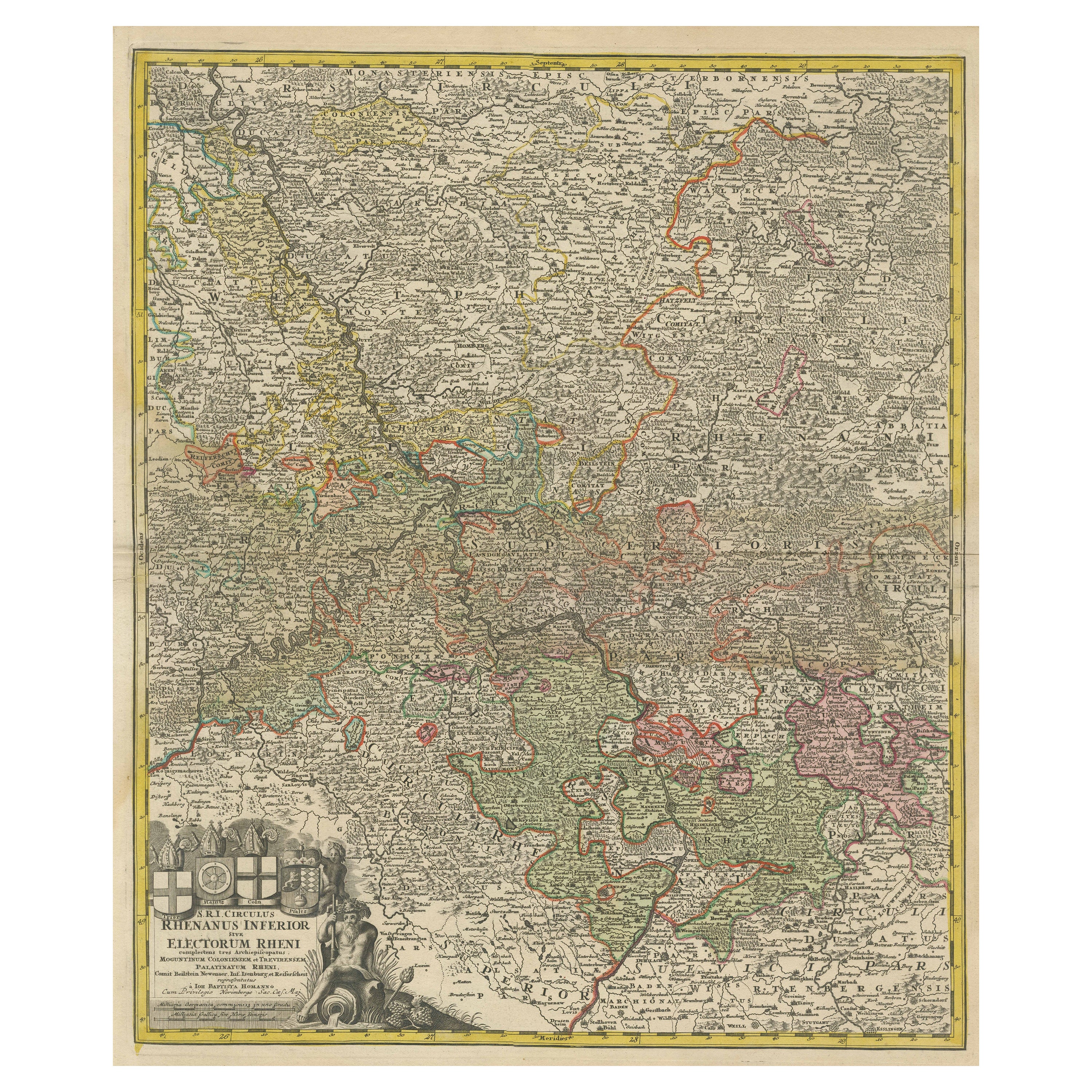
Detailed Antique Map of the Lower Rhine region, Germany

Detailed Antique Map of the Lower Rhine region, Germany

Located in Langweer, NL

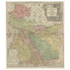
Antique map titled 'S.R.I. Circulus Rhanus Inferior sive Electorum Rheni (..)'. Detailed map of the Lower Rhine region, Germany. The title cartouche in the upper left quadrant featur...

Category

Antique Mid-18th Century Maps

Materials

Paper
Antique Map of the Rhine centered on Cologne, Germany, with outline coloring

Antique Map of the Rhine centered on Cologne, Germany, with outline coloring

Located in Langweer, NL

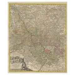
Antique map titled 'Archiepsiscopatus et Electoratus Coloniensis (..)'. Original antique map of the Rhine river, centered on Cologne, Germany. The Rhine River cuts across this map fr...

Category

Antique Early 18th Century Maps

Materials

Paper
You May Also Like

18th Century Hand-Colored Homann Map of Germany, Including Frankfurt and Berlin

18th Century Hand-Colored Homann Map of Germany, Including Frankfurt and Berlin

By Johann Baptist Homann

Located in Alamo, CA

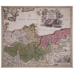
An 18th century hand-colored map entitled "Tabula Marchionatus Brandenburgici et Ducatus Pomeraniae quae sunt Pars Septentrionalis Circuli Saxoniae Superioris" by Johann Baptist Homa...

Category

Antique Early 18th Century German Maps

Materials

Paper

17th Century Hand-Colored Map of a Region in West Germany by Janssonius

17th Century Hand-Colored Map of a Region in West Germany by Janssonius

By Johannes Janssonius

Located in Alamo, CA

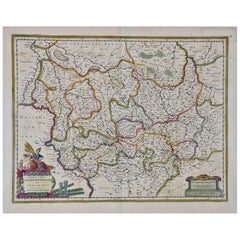
This attractive highly detailed 17th century original hand-colored map is entitled "Archiepiscopatus Maghdeburgensis et Anhaltinus Ducatus cum terris adjacentibus". It was published ...

Category

Antique Mid-17th Century Dutch Maps

Materials

Paper

Prussia, Poland, N. Germany, Etc: A Hand-colored 17th Century Map by Janssonius

Prussia, Poland, N. Germany, Etc: A Hand-colored 17th Century Map by Janssonius

By Johannes Janssonius

Located in Alamo, CA

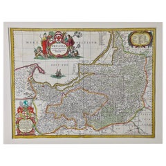
This is an attractive hand-colored copperplate engraved 17th century map of Prussia entitled "Prussia Accurate Descripta a Gasparo Henneberg Erlichensi", published in Amsterdam by Joannes Janssonius in 1664. This very detailed map from the golden age of Dutch cartography includes present-day Poland, Latvia, Lithuania, Estonia and portions of Germany. This highly detailed map is embellished by three ornate pink, red, mint green and gold...

Category

Antique Mid-17th Century Dutch Maps

Materials

Paper

Hand Colored 18th Century Homann Map of Austria Including Vienna and the Danube

Hand Colored 18th Century Homann Map of Austria Including Vienna and the Danube

By Johann Baptist Homann

Located in Alamo, CA

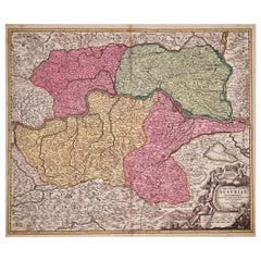
"Archiducatus Austriae inferioris" is a hand colored map of Austria created by Johann Baptist Homann (1663-1724) and published in Nuremberg, Germany in 1728 shortly after his death. ...

Category

Antique Early 18th Century German Maps

Materials

Paper

1752 Vaugoundy Map of Flanders : Belgium, France, and the Netherlands, Ric.a002

1752 Vaugoundy Map of Flanders : Belgium, France, and the Netherlands, Ric.a002

Located in Norton, MA

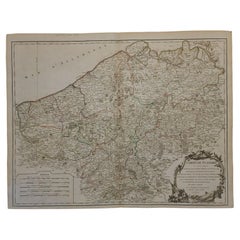
Large Vaugoundy Map of Flanders: Belgium, France, and the Netherlands Colored -1752 Ric.a002 Description: This is a 1752 Didier Robert de Vaugondy map of Flanders. The map de...

Category

Antique 17th Century Unknown Maps

Materials

Paper

1853 Map of "Russia in Europe Including Poland" Ric.r016

1853 Map of "Russia in Europe Including Poland" Ric.r016

Located in Norton, MA

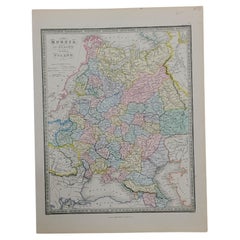
Description Russia in Europe incl. Poland by J Wyld c.1853 Hand coloured steel engraving Dimension: Paper: 25 cm W x 33 cm H ; Sight: 22 cm W x 28 cm H Condition: Good ...

Category

Antique 19th Century Unknown Maps

Materials

Paper