Want more images or videos?
Request additional images or videos from the seller
1 of 5

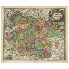
Old Map of the Rhine & German Cities Incl Düsseldorf, Bonn, Köln, Etc., c.1730

$928.55
$1,160.6920% Off
£687.25
£859.0720% Off
€784VAT Included
€98020% Off
CA$1,284.81
CA$1,606.0220% Off
A$1,288.86
A$1,611.0720% Off
CHF 752.68
CHF 940.8520% Off
MX$15,692.23
MX$19,615.2920% Off
NOK 8,642.89
NOK 10,803.6120% Off
SEK 8,900.83
SEK 11,126.0420% Off
DKK 5,977.42
DKK 7,471.7720% Off

About the Item

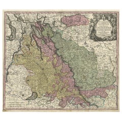
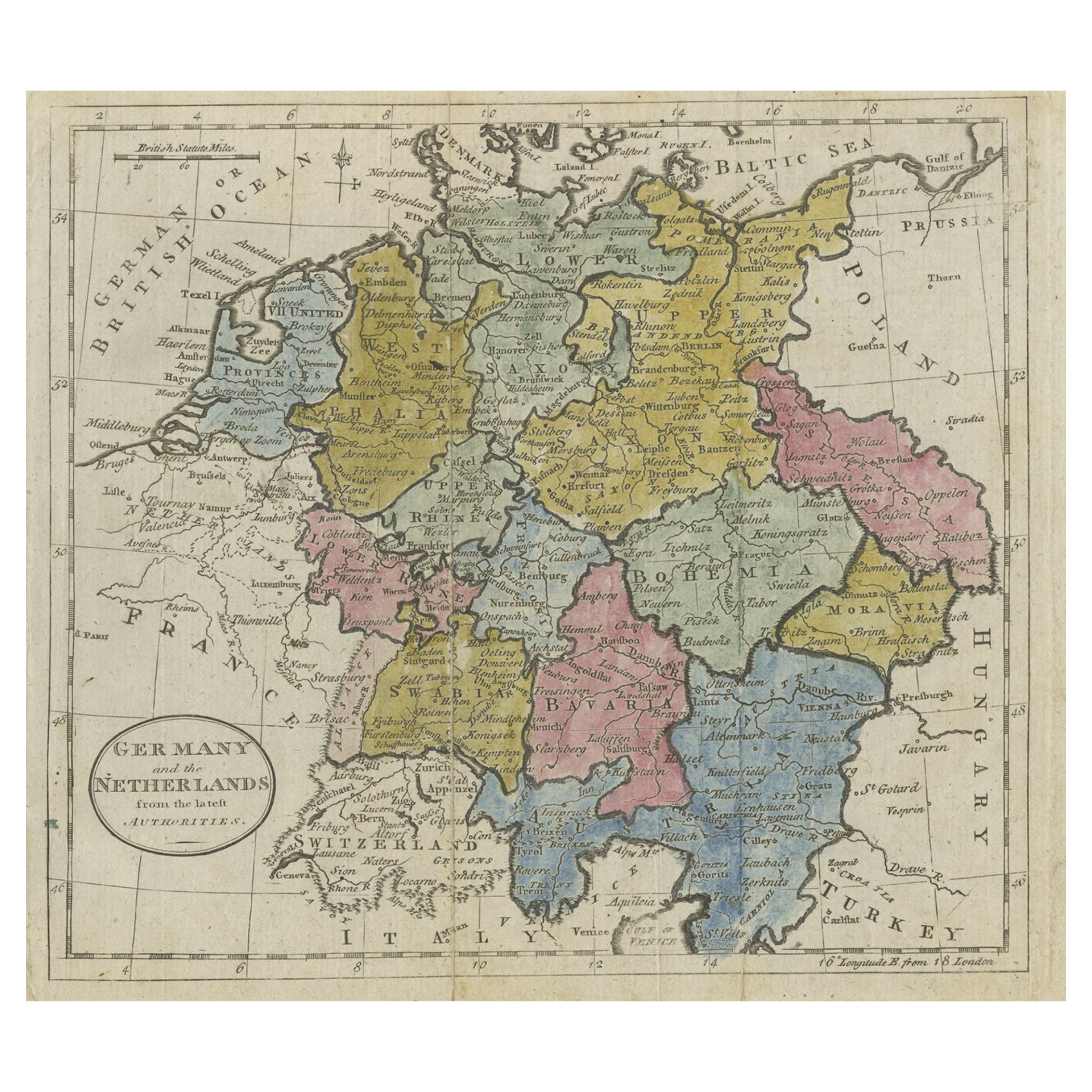
Antique map Germany titled 'Mappa Geographica continens Archiepiscopatum et Electoratum Coloniensem (..)'. This antique map depicts the Rhine river and many German cities including Düsseldorf, Bonn, Köln, Duisburg and more. Artists and Engravers: Mattias Seutter (1678-1756) was an engraver, globe-maker and map publisher from Augsburg. He was a pupil of J.B. Homann in Nuremberg.
  • Dimensions:
    Height: 20.67 in (52.5 cm)Width: 24.02 in (61 cm)Depth: 0 in (0.02 mm)
  • Materials and Techniques:
  • Period:
    1730-1739
  • Date of Manufacture:
    circa 1730
  • Condition:
    Wear consistent with age and use. Condition: Very good, general age-related toning. Please study image carefully.
  • Seller Location:
    Langweer, NL
  • Reference Number:
    Seller: BGI-00090 1stDibs: LU3054327234212

More From This Seller

View All
Antique Map of both sides of the Central Rhine River, Germany

Antique Map of both sides of the Central Rhine River, Germany

Located in Langweer, NL

Antique map titled 'Mappa Geographica continens Archiepiscopatum et Electoratum Coloniensem (..)'. Decorative map of region on either side of the Central Rhine River, showing Dusseld...

Category

Antique Mid-18th Century Maps

Materials

Paper

Antique Map of the Rhine centered on Cologne, Germany, circa 1720

Antique Map of the Rhine centered on Cologne, Germany, circa 1720

Located in Langweer, NL

Antique map titled 'Archiepsiscopatus et Electoratus Coloniensis (..)'. Original antique map of the Rhine river, centered on Cologne, Germany. The Rhine River cuts across this map fr...

Category

Antique Early 18th Century German Maps

Materials

Paper

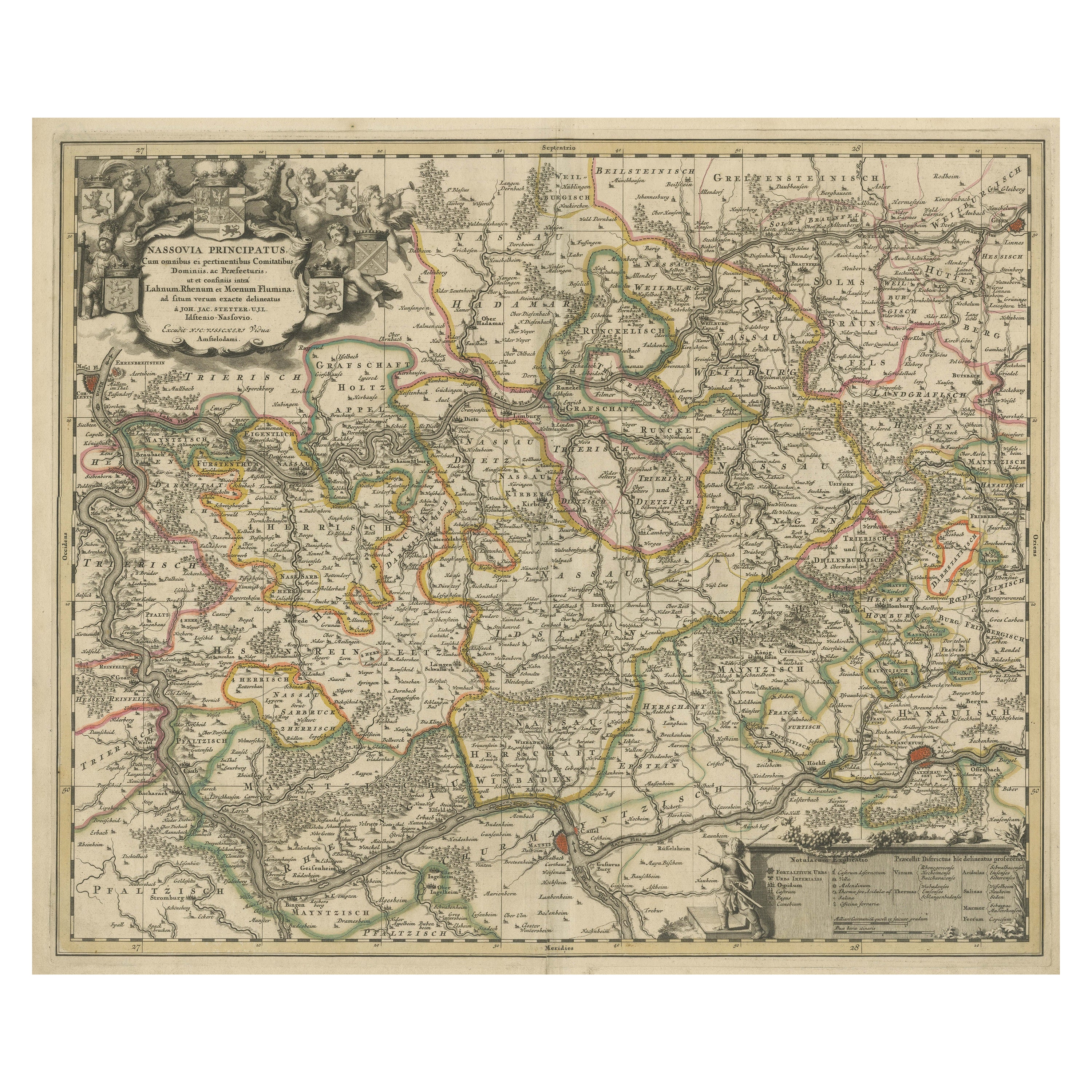
Antique Map of the Nassau Region in Western Germany, ca.1720

Antique Map of the Nassau Region in Western Germany, ca.1720

Located in Langweer, NL

Antique map titled 'Nassovia Principatus (..)'. Detailed map of the Nassau region in western Germany between Koblenz, Hadamar, Giessen, Frankfurt and Mainz. The map is filled with in...

Category

Antique Early 18th Century Dutch Maps

Materials

Paper

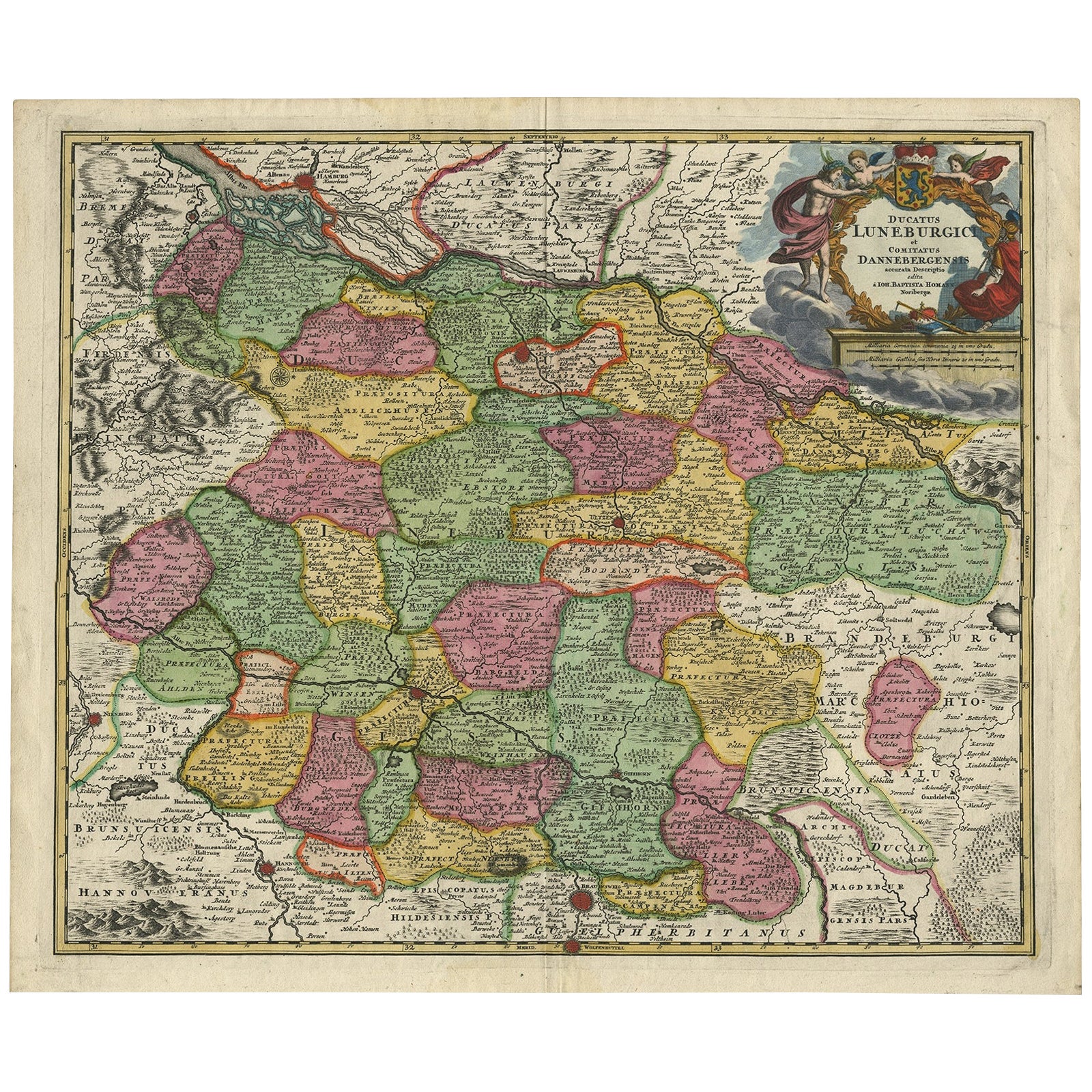
Regional Map of Germany, inc Hamburg, Luneberg, Hannover, Braunsweig etc, c.1720

Regional Map of Germany, inc Hamburg, Luneberg, Hannover, Braunsweig etc, c.1720

Located in Langweer, NL

Antique map titled 'Ducatus Luneburgici et Comitatus Dannebergensis accurata Descriptio.' This detailed regional map includes Hamburg, Luneberg, and as far south as Hannover, Bra...

Category

Antique 1720s Maps

Materials

Paper

Antique Map of Northern Germany by M. Seutter, circa 1730

Antique Map of Northern Germany by M. Seutter, circa 1730

By Matthew Seutter

Located in Langweer, NL

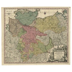
Antique map titled 'Saxoniae Inferioris Circulus'. Old map of the northern part of Germany by M. Seutter. Covering the area of Lower Saxony, Mecklenburg-Vorpommern and Schleswig-Hols...

Category

Antique Mid-18th Century Maps

Materials

Paper

You May Also Like

18th Century Hand-Colored Homann Map of Germany, Including Frankfurt and Berlin

18th Century Hand-Colored Homann Map of Germany, Including Frankfurt and Berlin

By Johann Baptist Homann

Located in Alamo, CA

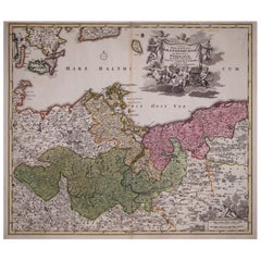
An 18th century hand-colored map entitled "Tabula Marchionatus Brandenburgici et Ducatus Pomeraniae quae sunt Pars Septentrionalis Circuli Saxoniae Superioris" by Johann Baptist Homa...

Category

Antique Early 18th Century German Maps

Materials

Paper

17th Century Hand-Colored Map of a Region in West Germany by Janssonius

17th Century Hand-Colored Map of a Region in West Germany by Janssonius

By Johannes Janssonius

Located in Alamo, CA

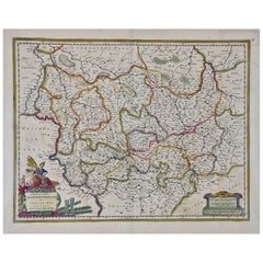
This attractive highly detailed 17th century original hand-colored map is entitled "Archiepiscopatus Maghdeburgensis et Anhaltinus Ducatus cum terris adjacentibus". It was published ...

Category

Antique Mid-17th Century Dutch Maps

Materials

Paper

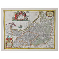
Prussia, Poland, N. Germany, Etc: A Hand-colored 17th Century Map by Janssonius

Prussia, Poland, N. Germany, Etc: A Hand-colored 17th Century Map by Janssonius

By Johannes Janssonius

Located in Alamo, CA

This is an attractive hand-colored copperplate engraved 17th century map of Prussia entitled "Prussia Accurate Descripta a Gasparo Henneberg Erlichensi", published in Amsterdam by Joannes Janssonius in 1664. This very detailed map from the golden age of Dutch cartography includes present-day Poland, Latvia, Lithuania, Estonia and portions of Germany. This highly detailed map is embellished by three ornate pink, red, mint green and gold...

Category

Antique Mid-17th Century Dutch Maps

Materials

Paper

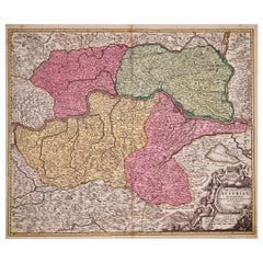
Hand Colored 18th Century Homann Map of Austria Including Vienna and the Danube

Hand Colored 18th Century Homann Map of Austria Including Vienna and the Danube

By Johann Baptist Homann

Located in Alamo, CA

"Archiducatus Austriae inferioris" is a hand colored map of Austria created by Johann Baptist Homann (1663-1724) and published in Nuremberg, Germany in 1728 shortly after his death. ...

Category

Antique Early 18th Century German Maps

Materials

Paper

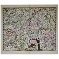
17th Century Hand Colored Map of the Liege Region in Belgium by Visscher

17th Century Hand Colored Map of the Liege Region in Belgium by Visscher

By Nicolaes Visscher II

Located in Alamo, CA

An original 17th century map entitled "Leodiensis Episcopatus in omnes Subjacentes Provincias distincté divisusVisscher, Leodiensis Episcopatus" by Nicolaes Visscher II, published in Amsterdam in 1688. The map is centered on Liege, Belgium, includes the area between Antwerp, Turnhout, Roermond, Cologne, Trier and Dinant. This attractive map is presented in a cream-colored mat measuring 30" wide x 27.5" high. There is a central fold, as issued. There is minimal spotting in the upper margin and a tiny spot in the right lower margin, which are under the mat. The map is otherwise in excellent condition. The Visscher family were one of the great cartographic families of the 17th century. Begun by Claes Jansz Visscher...

Category

Antique Late 17th Century Dutch Maps
Materials

Paper

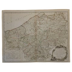
1752 Vaugoundy Map of Flanders : Belgium, France, and the Netherlands, Ric.a002

1752 Vaugoundy Map of Flanders : Belgium, France, and the Netherlands, Ric.a002

Located in Norton, MA

Large Vaugoundy Map of Flanders: Belgium, France, and the Netherlands Colored -1752 Ric.a002 Description: This is a 1752 Didier Robert de Vaugondy map of Flanders. The map de...

Category

Antique 17th Century Unknown Maps

Materials

Paper