Want more images or videos?
Request additional images or videos from the seller
1 of 6

Detailed Antique Map of the Lower Rhine region, Germany

$426.38
$532.9720% Off
£315.58
£394.4720% Off
€360VAT Included
€45020% Off
CA$589.97
CA$737.4620% Off
A$591.82
A$739.7820% Off
CHF 345.62
CHF 432.0220% Off
MX$7,205.62
MX$9,007.0220% Off
NOK 3,968.67
NOK 4,960.8420% Off
SEK 4,087.12
SEK 5,108.8920% Off
DKK 2,744.73
DKK 3,430.9120% Off

About the Item

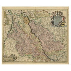
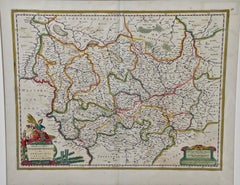
Antique map titled 'S.R.I. Circulus Rhanus Inferior sive Electorum Rheni (..)'. Detailed map of the Lower Rhine region, Germany. The title cartouche in the upper left quadrant features four heraldic crests, each representing a major city: Trier, Maintz, Coln, Pfaltz. Follows the course of the Rhine from Wessel to Seltz. Includes the cities of Frankfurt, Wesel, Stuttgart, Heidelberg, Mühllheim, Trier, Mainz, Köln and the Pfaltz. Published by J.B. Homann, circa 1720. Johann Baptist Homann was born 1664 in Oberkammlach. He founded his business 1702 in Nuremberg, Germany. After a long period of Dutch domination in map publishing, the Homann publishing house became the most important map and atlas producer in Germany. He became a member of the Academy of Science in Berlin just after he published his first atlas in 1707. After his death 1724 in Nuremberg, the company was continued by his son Johann Christoph. The publishing firm was bequeathed to his heirs after his death in 1730 and was traded under the name Homann Heirs until the next century.
  • Dimensions:
    Height: 24.41 in (62 cm)Width: 20.63 in (52.4 cm)Depth: 0.02 in (0.5 mm)
  • Materials and Techniques:
  • Period:
  • Date of Manufacture:
    c.1720
  • Condition:
    Repaired: The part below the folding line has been reinforced on the verso. Refinished. Age-related toning. Large stain surrounding folding line. The part below the folding line has been reinforced on the verso. Shows some wear and soiling. Blank verso. Please study image carefully.
  • Seller Location:
    Langweer, NL
  • Reference Number:
    Seller: BG-13442-81stDibs: LU3054335091322

More From This Seller

View All
Antique Map of present-day North-Rhine Westphalia, Germany

Antique Map of present-day North-Rhine Westphalia, Germany

Located in Langweer, NL

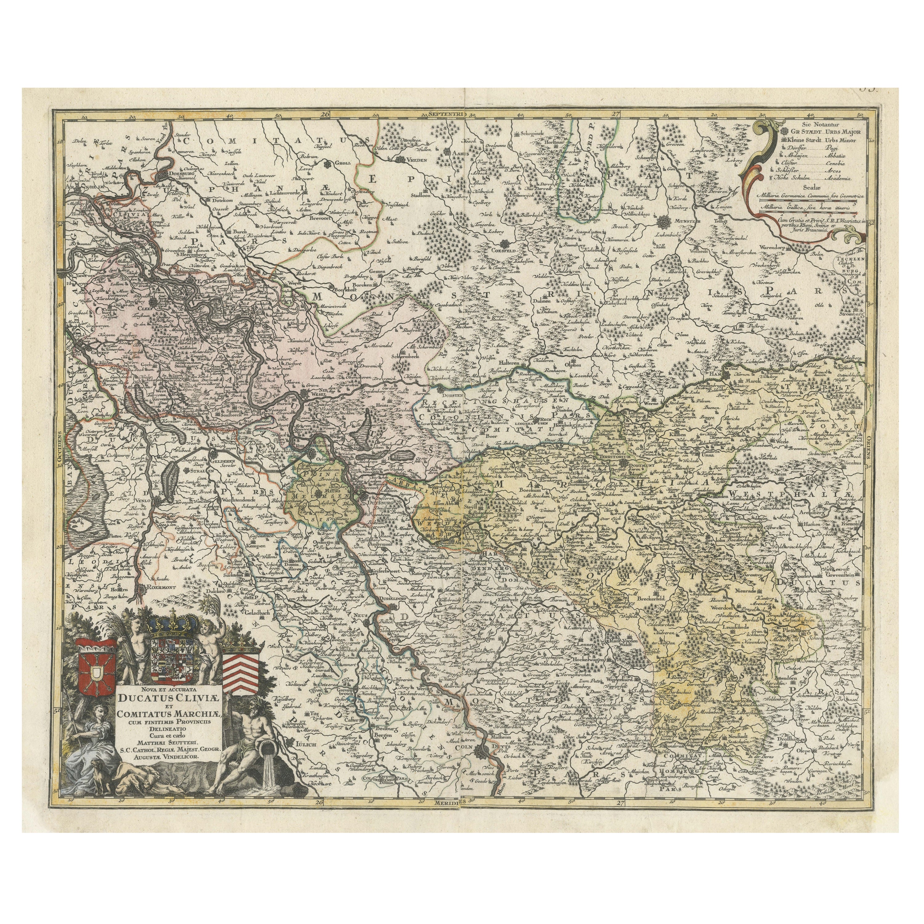
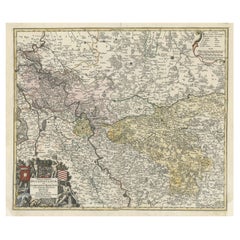
Antique map titled 'Nova et Accurata Ducatus Cliviae et Comitatus Marchiae (..)'. Detailed regional map of Germany showing the region bounded by the Maas River in the west and to par...

Category

Antique Mid-18th Century Maps

Materials

Paper

Antique Map of Western Germany with part of the Netherlands

Antique Map of Western Germany with part of the Netherlands

Located in Langweer, NL

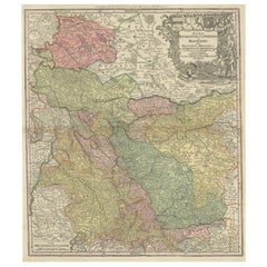
Antique map titled 'Ducatus Iuliacensis Cliviensis et Montensis (..)'. Original old map of Western Germany with part of the Netherlands. Published by M. Seutter, circa 1750. George...

Category

Antique Mid-18th Century Maps

Materials

Paper

Rhine Splendor: Antique Map of the Lower Rhine Region, circa 1680

Rhine Splendor: Antique Map of the Lower Rhine Region, circa 1680

Located in Langweer, NL

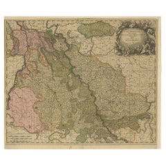
The antique map titled 'Novissima et Accuratissima Archiepiscopatus et Electoratus Coloniensis Ducatuum Iuliancensis et Montensis et Meursiae Comitatus' is a handsome and detailed ma...

Category

Antique 1680s Maps

Materials

Paper

Antique Map of both sides of the Central Rhine River, Germany

Antique Map of both sides of the Central Rhine River, Germany

Located in Langweer, NL

Antique map titled 'Mappa Geographica continens Archiepiscopatum et Electoratum Coloniensem (..)'. Decorative map of region on either side of the Central Rhine River, showing Dusseld...

Category

Antique Mid-18th Century Maps

Materials

Paper

Antique Map of Saxony, Germany

Antique Map of Saxony, Germany

Located in Langweer, NL

Original antique map titled 'Circulus Saxoniae Superioris'. Original antique map of Saxony, Germany. The cities of Leipzig, Freiburg and many others are highlighted in gold. This map originates from 'Atlas Novus Terrarum Orbis...

Category

Antique Early 18th Century Maps

Materials

Paper

You May Also Like

1752 Vaugoundy Map of Flanders : Belgium, France, and the Netherlands, Ric.a002

1752 Vaugoundy Map of Flanders : Belgium, France, and the Netherlands, Ric.a002

Located in Norton, MA

Large Vaugoundy Map of Flanders: Belgium, France, and the Netherlands Colored -1752 Ric.a002 Description: This is a 1752 Didier Robert de Vaugondy map of Flanders. The map de...

Category

Antique 17th Century Unknown Maps

Materials

Paper

17th Century Hand Colored Map of the Liege Region in Belgium by Visscher

17th Century Hand Colored Map of the Liege Region in Belgium by Visscher

By Nicolaes Visscher II

Located in Alamo, CA

An original 17th century map entitled "Leodiensis Episcopatus in omnes Subjacentes Provincias distincté divisusVisscher, Leodiensis Episcopatus" by Nicolaes Visscher II, published in Amsterdam in 1688. The map is centered on Liege, Belgium, includes the area between Antwerp, Turnhout, Roermond, Cologne, Trier and Dinant. This attractive map is presented in a cream-colored mat measuring 30" wide x 27.5" high. There is a central fold, as issued. There is minimal spotting in the upper margin and a tiny spot in the right lower margin, which are under the mat. The map is otherwise in excellent condition. The Visscher family were one of the great cartographic families of the 17th century. Begun by Claes Jansz Visscher...

Category

Antique Late 17th Century Dutch Maps
Materials

Paper

17th Century Nicolas Visscher Map of Southeastern Europe

17th Century Nicolas Visscher Map of Southeastern Europe

Located in Hamilton, Ontario

A beautiful, highly detailed map of southeastern Europe by Nicolas Visscher. Includes regions of Northern Italy (showing the cities Bologna, Padua, and Venice), Bohemia, Austria (sho...

Category

Antique 17th Century Dutch Maps
Materials

Paper