Want more images or videos?
Request additional images or videos from the seller
1 of 5

Antique Map of the South Pole by Keizer & de Lat, 1788

$473.89
$592.3620% Off
£350.59
£438.2420% Off
€400VAT Included
€50020% Off
CA$655.89
CA$819.8620% Off
A$658.18
A$822.7320% Off
CHF 383.86
CHF 479.8320% Off
MX$8,002.71
MX$10,003.3820% Off
NOK 4,410.94
NOK 5,513.6720% Off
SEK 4,536.42
SEK 5,670.5320% Off
DKK 3,050.02
DKK 3,812.5220% Off

About the Item

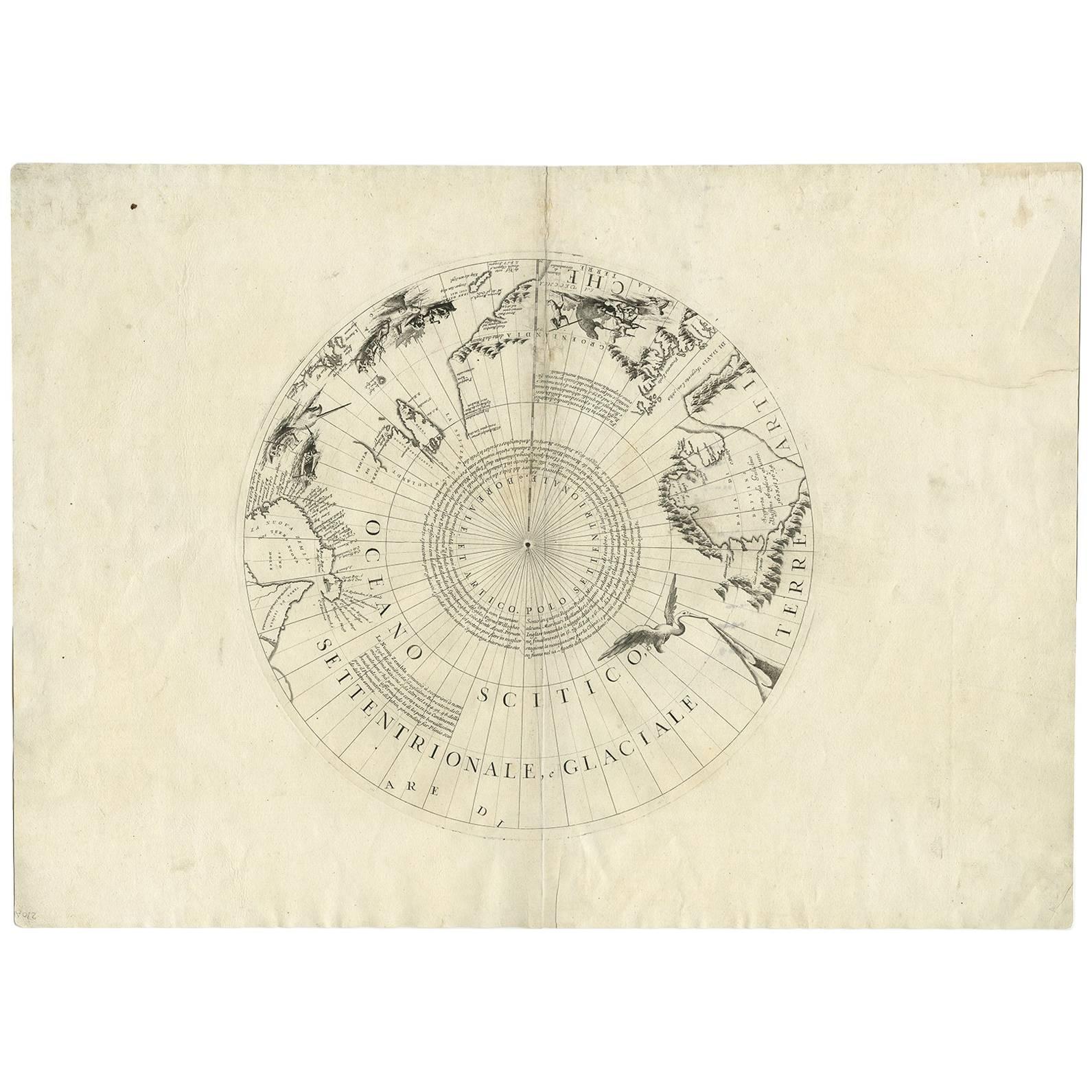
Antique map titled 'De Zuid Pool, waar in aangetoont werd alle de Nieuwe Landen (..)'. Original antique map of the South Pole including two small inset maps of Cape Circoncision (a peninsula on the north-western edge of subantarctic Bouvetøya) and the Salomon Islands. This map originates from 'Nieuwe Natuur- Geschied- en Handelkundige Zak- en Reisatlas' by Gerrit Brender à Brandis. Published by J. Keizer and I. de Lat, 1788.
  • Dimensions:
    Height: 8.08 in (20.5 cm)Width: 12.01 in (30.5 cm)Depth: 0.02 in (0.5 mm)
  • Materials and Techniques:
  • Period:
  • Date of Manufacture:
    1788
  • Condition:
    General age-related toning. Original folding lines. Original/contemporary hand coloring, blank verso. Minor wear, please study image carefully.
  • Seller Location:
    Langweer, NL
  • Reference Number:
    Seller: BG-12854-231stDibs: LU3054321978002

More From This Seller

View All
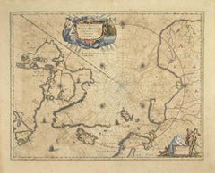
Antique Map of the North Pole & Sangihe Archipelago by Keizer & de Lat, 1788

Antique Map of the North Pole & Sangihe Archipelago by Keizer & de Lat, 1788

Located in Langweer, NL

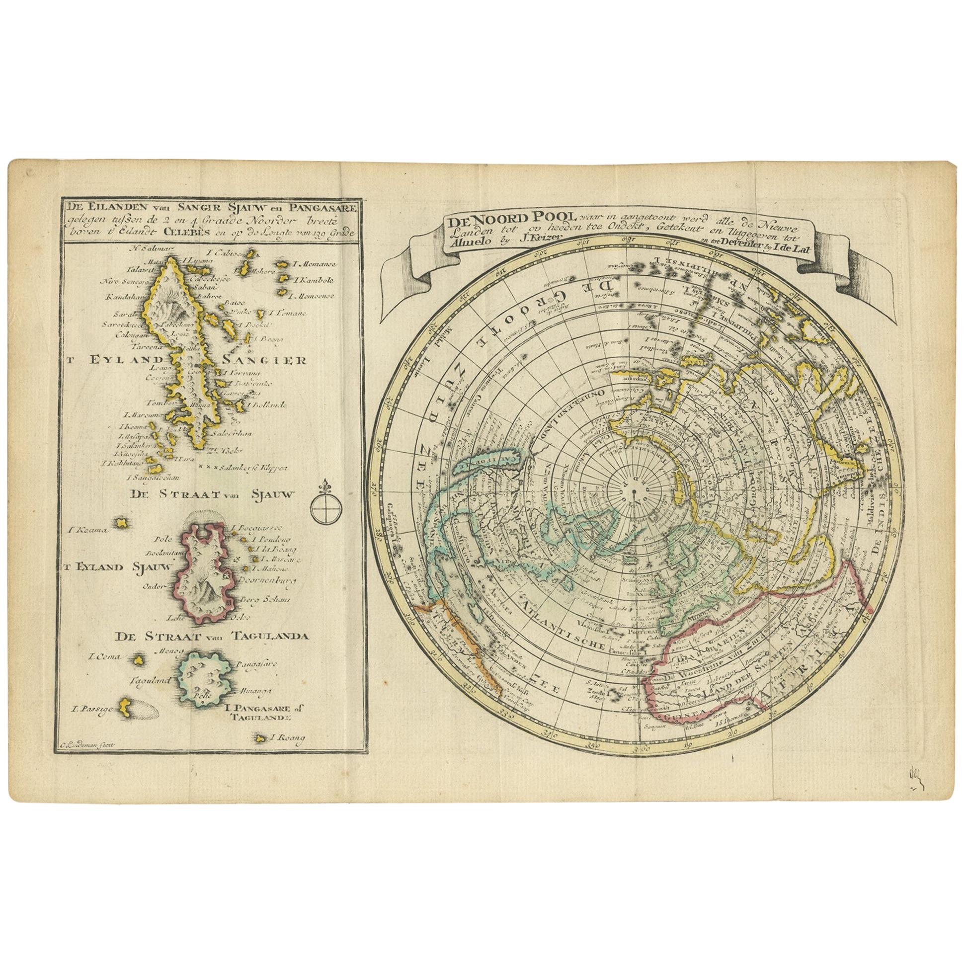
Antique map titled 'De Noord Pool waar in aangetoont werd alle de Nieuwe Landen (..) - De Eilanden van Sangir Sjauw en Pangasare (..)'. Interesting map that includes a map of the Nor...

Category

Antique Late 18th Century Maps

Materials

Paper

Antique Map of the World in Hemispheres by Keizer & de Lat, 1788

Antique Map of the World in Hemispheres by Keizer & de Lat, 1788

Located in Langweer, NL

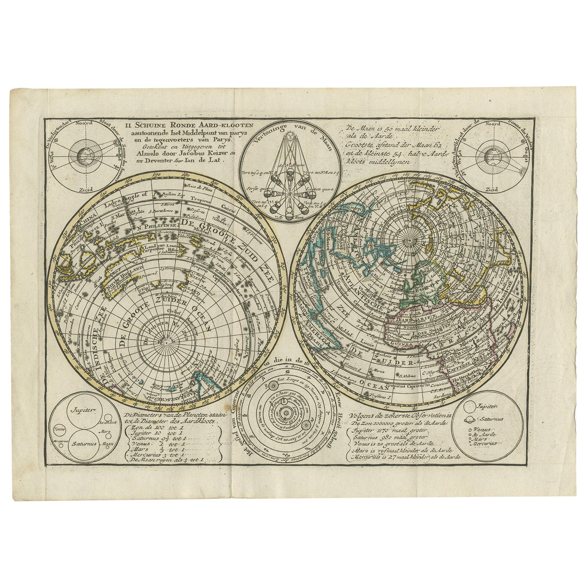
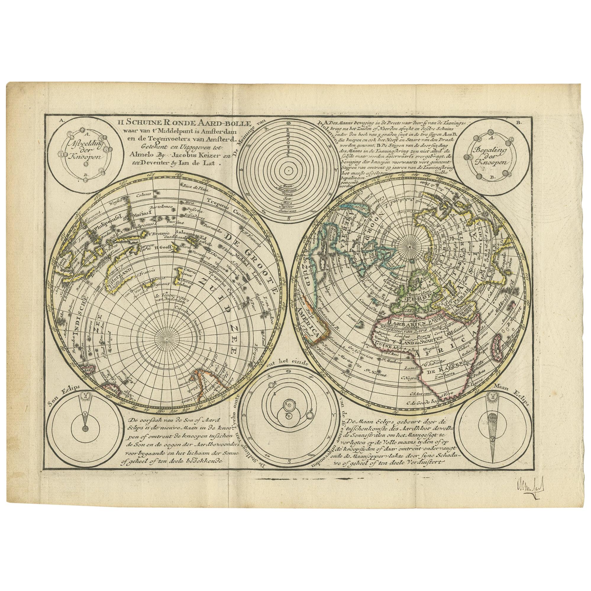
Antique map titled 'Schuine Ronde Aard-Bolle waar van 't Middelpunt is Amsterdam (..)'. Interesting double hemisphere world map on polar projections. In North America, there is a large Island of California. Australia and New Zealand are shown with incomplete coastlines. The map contains six smaller astronomical...

Category

Antique Late 18th Century Maps

Materials

Paper
Asia in the Age of Exploration – Antique Map by Rigobert Bonne, c.1780

Asia in the Age of Exploration – Antique Map by Rigobert Bonne, c.1780

Located in Langweer, NL

Asia in the Age of Exploration – Antique Map by Rigobert Bonne, c.1780 DESCRIPTION This engraved map of Asia reflects European geographic understanding during the late Enlightenment...

Category

Antique Late 18th Century French Maps

Materials

Paper

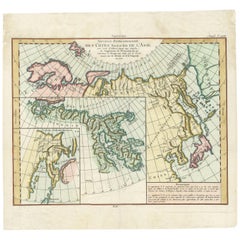
Antique Map of the North and East Coast of Asia by Vaugondy, circa 1750

Antique Map of the North and East Coast of Asia by Vaugondy, circa 1750

Located in Langweer, NL

Antique map titled 'Nouvelle representation des Cotes Nord et Est de L'Asie.' Map the north and east coast of Asia, showing an oddly shaped Japan and inset maps of Kamchatka. Origi...

Category

Antique Mid-18th Century French Maps

Materials

Paper

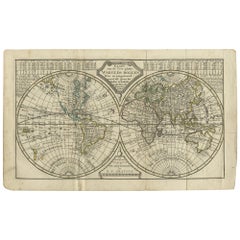
Antique Map of the World in two Hemispheres by Keizer & de Lat, 1788

Antique Map of the World in two Hemispheres by Keizer & de Lat, 1788

Located in Langweer, NL

Antique map titled 'Kaart van de Twee platte Warelds Bollen (..)'. Interesting world map in two hemispheres. California shown as a labeled island with place names and an indented nor...

Category

Antique Late 18th Century Maps

Materials

Paper
You May Also Like

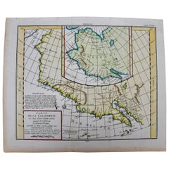
California, Alaska and Mexico: 18th Century Hand-Colored Map by de Vaugondy

California, Alaska and Mexico: 18th Century Hand-Colored Map by de Vaugondy

By Didier Robert de Vaugondy

Located in Alamo, CA

This is an 18th century hand-colored map of the western portions of North America entitled "Carte de la Californie et des Pays Nord-Ouest separés de l'Asie par le détroit d'Anian, ex...

Category

Antique 1770s French Maps

Materials

Paper

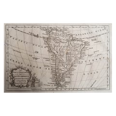
Original Antique Map of South America. C.1780

Original Antique Map of South America. C.1780

Located in St Annes, Lancashire

Great map of South America Copper-plate engraving Published C.1780 Two small worm holes to left side of map Unframed.

Category

Antique Early 1800s English Georgian Maps

Materials

Paper

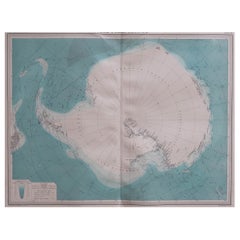
Large Original Vintage Map of the South Pole, circa 1920

Large Original Vintage Map of the South Pole, circa 1920

Located in St Annes, Lancashire

Great map of the South pole. Unframed. Original color. By John Bartholomew and Co. Edinburgh Geographical Institute. Published, circa 1920.   

Category

Vintage 1920s British Maps

Materials

Paper

Hand-Colored 18th Century Homann Map of Denmark and Islands in the Baltic Sea

Hand-Colored 18th Century Homann Map of Denmark and Islands in the Baltic Sea

By Johann Baptist Homann

Located in Alamo, CA

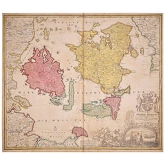
An 18th century copper plate hand-colored map entitled "Insulae Danicae in Mari Balthico Sitae utpote Zeelandia, Fionia, Langelandia, Lalandia, Falstria, Fembria Mona" created by Joh...

Category

Antique Early 18th Century German Maps

Materials

Paper

North & South America: A 17th Century Hand-colored Map by Jansson & Goos

North & South America: A 17th Century Hand-colored Map by Jansson & Goos

By Johannes Janssonius

Located in Alamo, CA

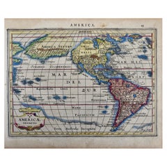
A 17th century hand-colored map of North & South America entitled "Americae Descriptio" by the cartographer Johannes Jansson, published in Jansson's Atlas Minor in Amsterdam in 1628....

Category

Antique 1620s Dutch Maps

Materials

Paper