Want more images or videos?
Request additional images or videos from the seller
1 of 5

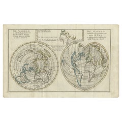
Antique Map of the World with Polar Projections by Keizer & de Lat, 1788

$444.27
$592.3625% Off
£328.68
£438.2425% Off
€375VAT Included
€50025% Off
CA$614.90
CA$819.8625% Off
A$617.05
A$822.7325% Off
CHF 359.87
CHF 479.8325% Off
MX$7,502.54
MX$10,003.3825% Off
NOK 4,135.25
NOK 5,513.6725% Off
SEK 4,252.90
SEK 5,670.5325% Off
DKK 2,859.39
DKK 3,812.5225% Off

About the Item

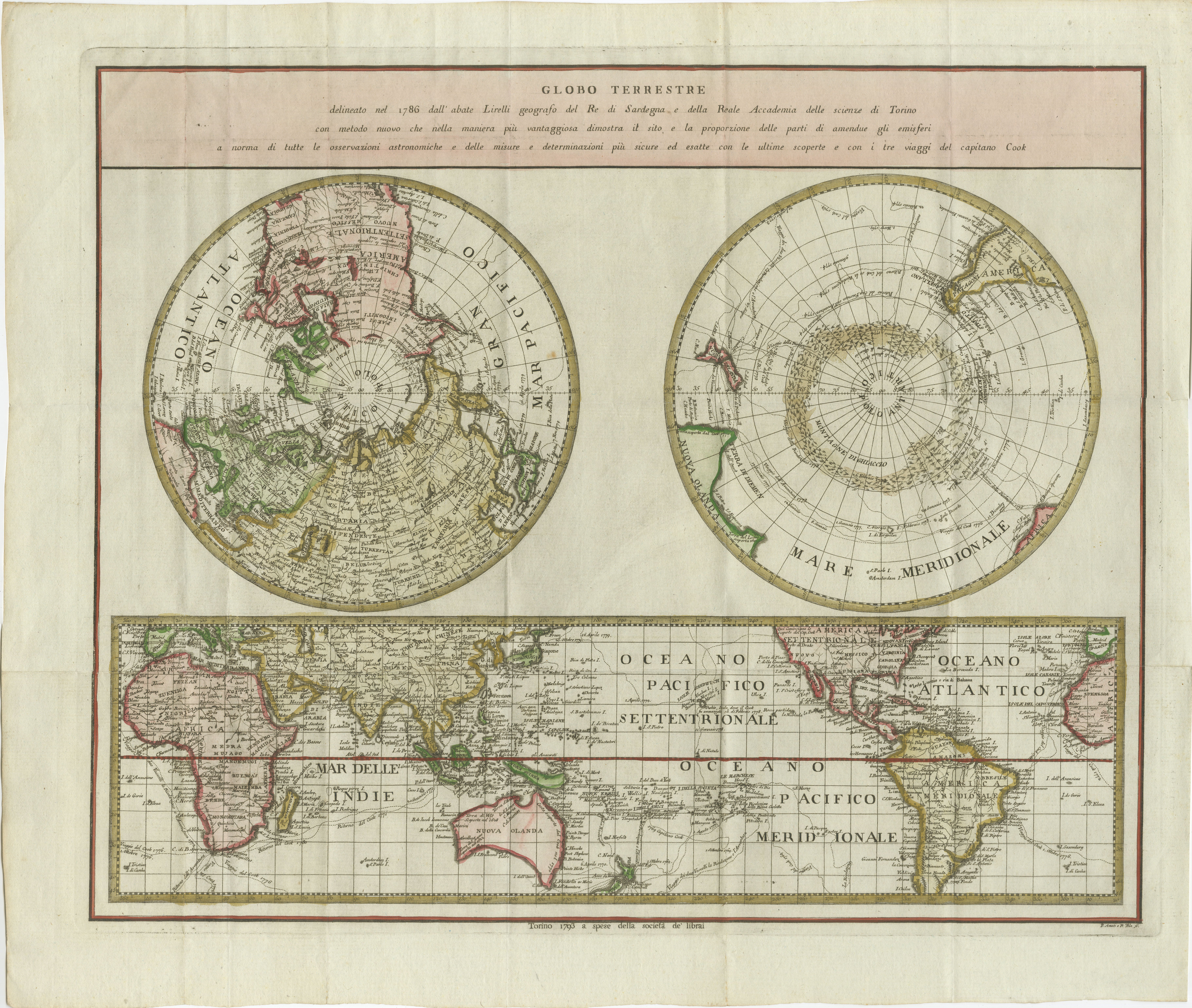
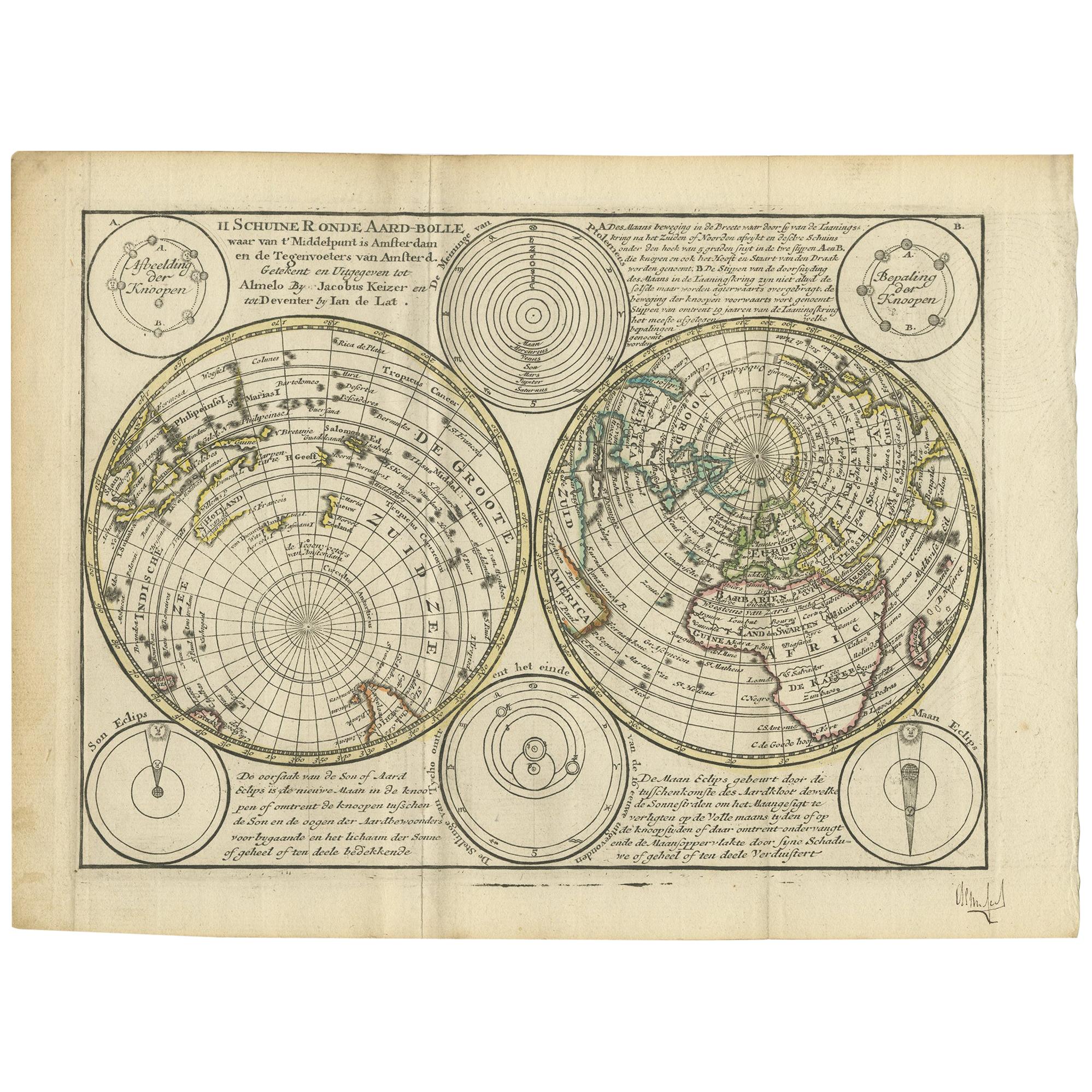
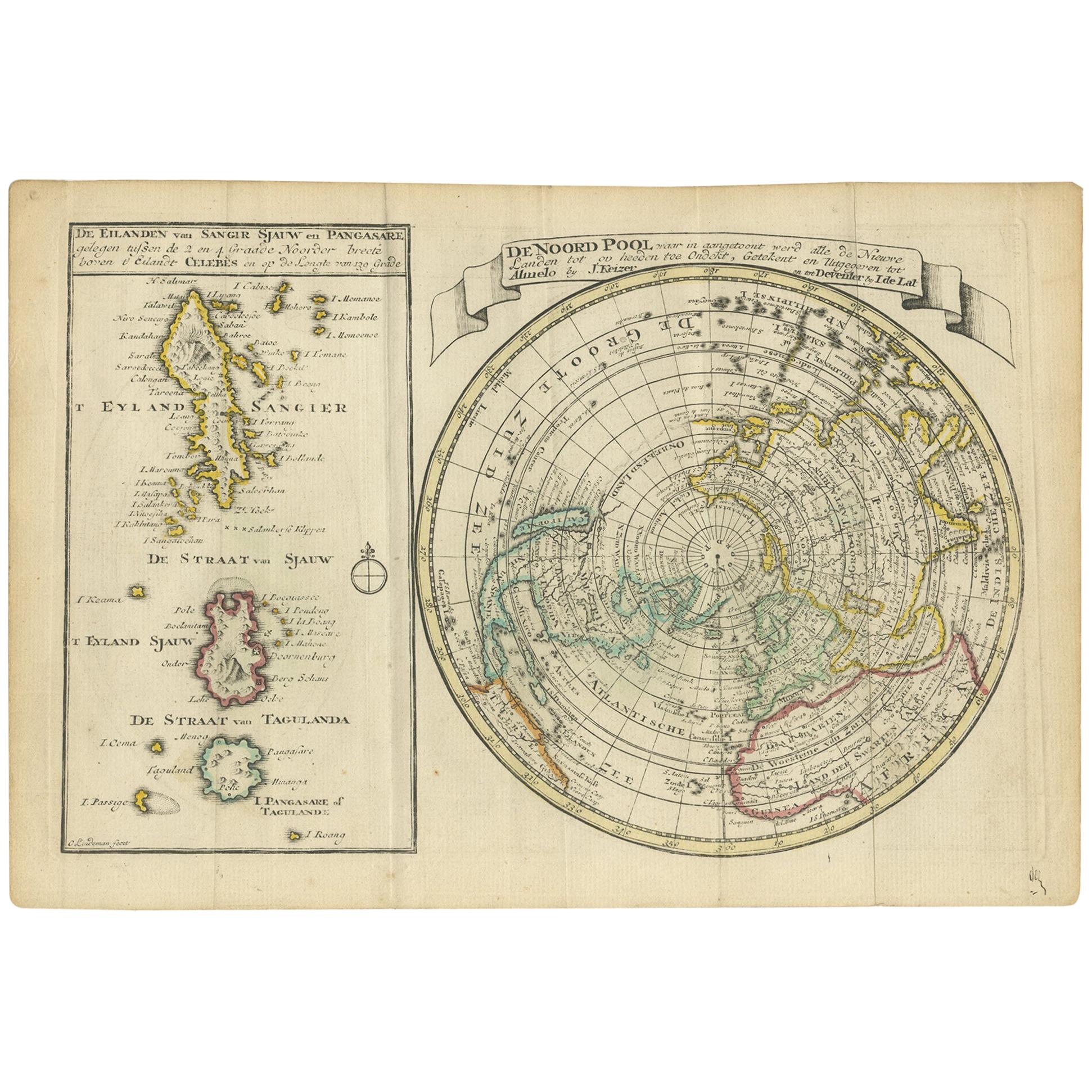
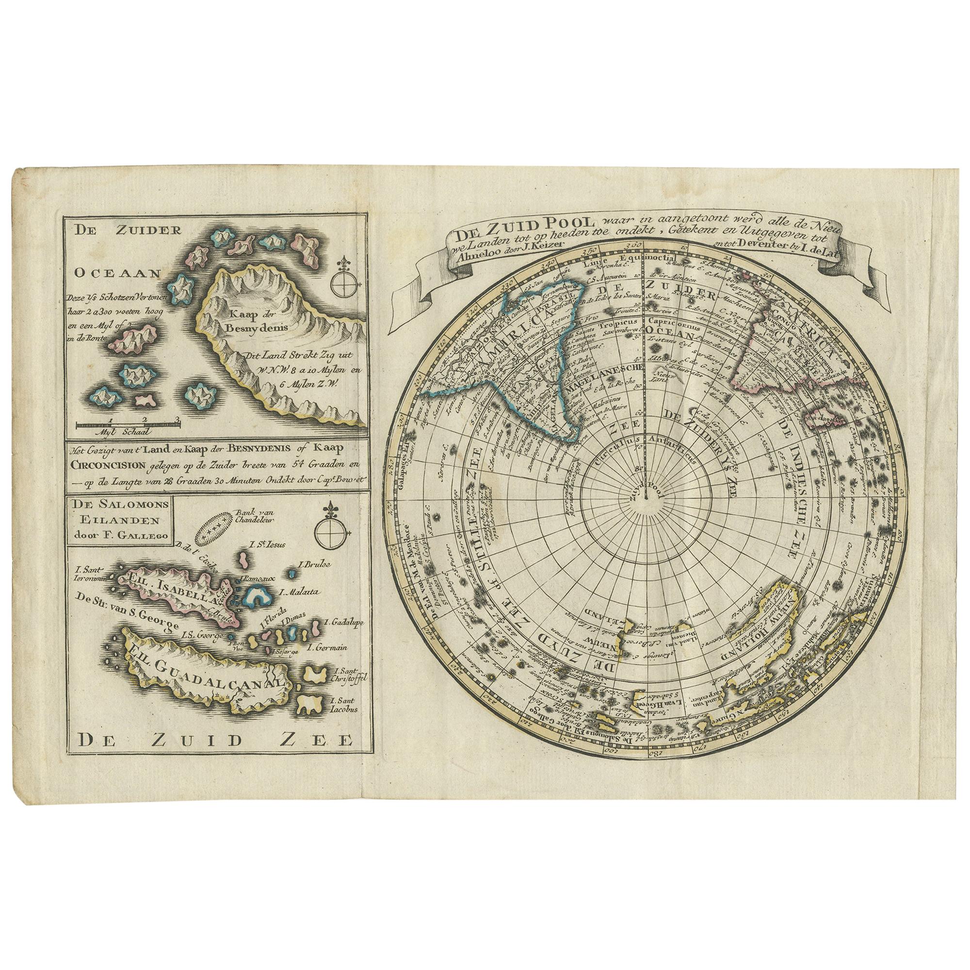
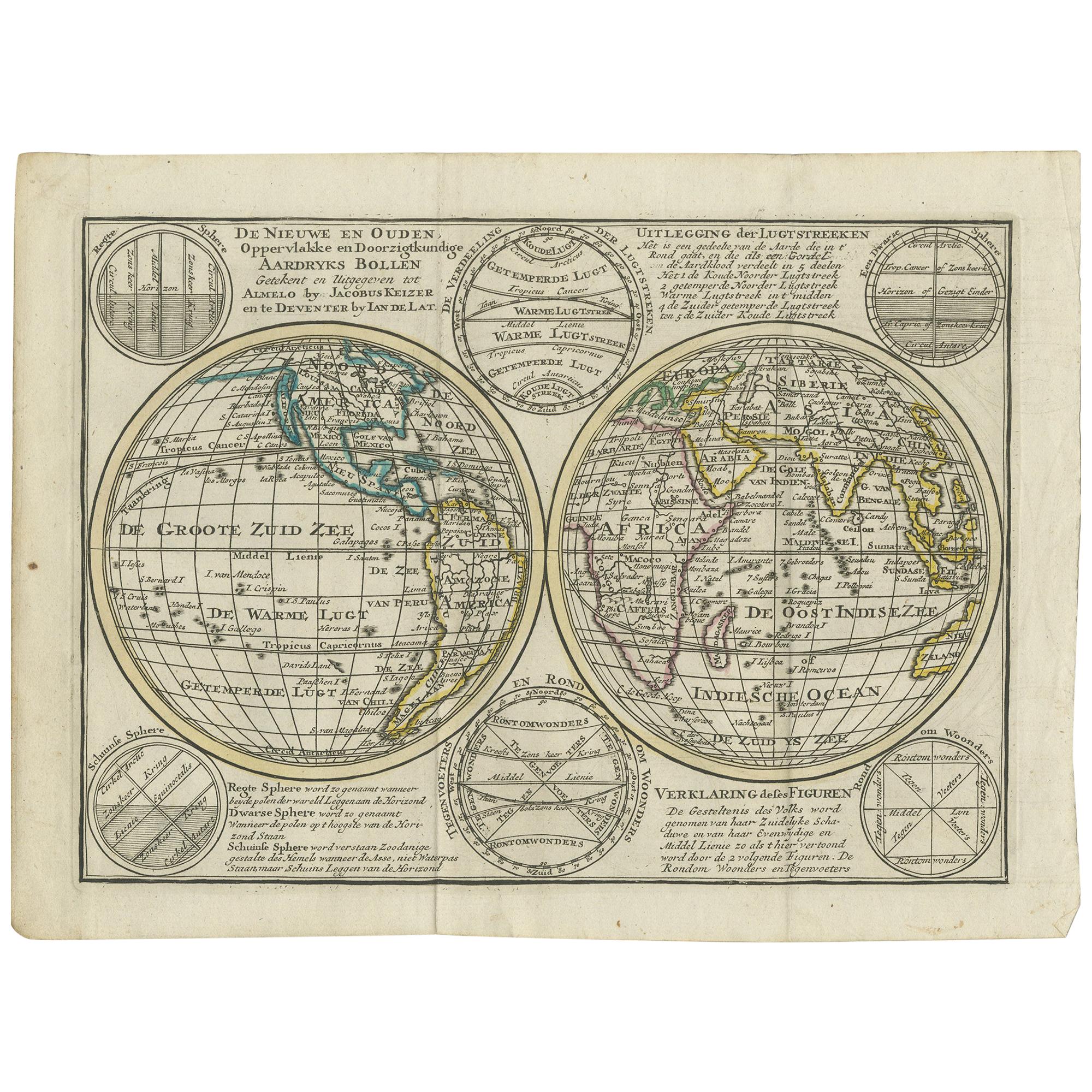
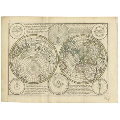
Antique map titled 'Schuine Ronde Aard-Klooten (..)'. Interesting double hemisphere world map with polar projections. In North America, there is a large Island of California. Australia and New Zealand are shown with incomplete coastlines. The map contains six smaller astronomical spheres including the phases of the moon and a Copernican solar system tucked between the hemispheres. This map originates from 'Nieuwe Natuur- Geschied- en Handelkundige Zak- en Reisatlas' by Gerrit Brender à Brandis. Published by J. Keizer and I. de Lat, 1788.
  • Dimensions:
    Height: 8.08 in (20.5 cm)Width: 11.03 in (28 cm)Depth: 0.02 in (0.5 mm)
  • Materials and Techniques:
  • Period:
  • Date of Manufacture:
    1788
  • Condition:
    General age-related toning. Original folding lines. Original/contemporary hand coloring, blank verso. Minor wear, please study image carefully.
  • Seller Location:
    Langweer, NL
  • Reference Number:
    Seller: BG-12854-221stDibs: LU3054321978082

More From This Seller

View All
Antique Map of the World in Hemispheres by Keizer & de Lat, 1788

Antique Map of the World in Hemispheres by Keizer & de Lat, 1788

Located in Langweer, NL

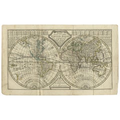
Antique map titled 'Schuine Ronde Aard-Bolle waar van 't Middelpunt is Amsterdam (..)'. Interesting double hemisphere world map on polar projections. In North America, there is a large Island of California. Australia and New Zealand are shown with incomplete coastlines. The map contains six smaller astronomical...

Category

Antique Late 18th Century Maps

Materials

Paper
Antique Map of the Northern Hemisphere, 1782

Antique Map of the Northern Hemisphere, 1782

Located in Langweer, NL

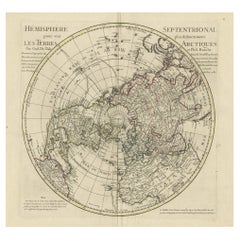
Antique map titled 'Hémisphère Septentrional pour voir plus distinctement les Terres Arctiques (..)'. Map of the Northern Hemisphere, originall...

Category

Antique 1780s Maps

Materials

Paper

Antique Map of the World in two Hemispheres by Keizer & de Lat, 1788

Antique Map of the World in two Hemispheres by Keizer & de Lat, 1788

Located in Langweer, NL

Antique map titled 'Kaart van de Twee platte Warelds Bollen (..)'. Interesting world map in two hemispheres. California shown as a labeled island with place names and an indented nor...

Category

Antique Late 18th Century Maps

Materials

Paper
Antique Map of the North Pole & Sangihe Archipelago by Keizer & de Lat, 1788

Antique Map of the North Pole & Sangihe Archipelago by Keizer & de Lat, 1788

Located in Langweer, NL

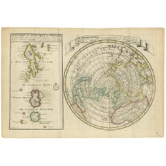
Antique map titled 'De Noord Pool waar in aangetoont werd alle de Nieuwe Landen (..) - De Eilanden van Sangir Sjauw en Pangasare (..)'. Interesting map that includes a map of the Nor...

Category

Antique Late 18th Century Maps

Materials

Paper
Antique Map of the World with California as an Island, 1788

Antique Map of the World with California as an Island, 1788

Located in Langweer, NL

Description: Antique map titled 'De wareld in een ronde gedaante van de Noord Pool te zien - De Wareld verbeeld in de gedaante van een hard'. This interesting composition contains three world maps on the sheet. At left is a northern projection showing all the landmasses. At right is a cordiform projection (heart-shaped). At top is a map of the world as known to the ancients. Both the polar and cordiform projections show California as an island...

Category

Antique 1780s Maps

Materials

Paper

Antique Map of the South Pole by Keizer & de Lat, 1788

Antique Map of the South Pole by Keizer & de Lat, 1788

Located in Langweer, NL

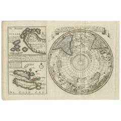
Antique map titled 'De Zuid Pool, waar in aangetoont werd alle de Nieuwe Landen (..)'. Original antique map of the South Pole including two small inset maps...

Category

Antique Late 18th Century Maps

Materials

Paper
You May Also Like

Original Antique Map of The World by Thomas Clerk, 1817

Original Antique Map of The World by Thomas Clerk, 1817

Located in St Annes, Lancashire

Great map of The Eastern and Western Hemispheres On 2 sheets Copper-plate engraving Drawn and engraved by Thomas Clerk, Edinburgh. Published by Mackenzie And Dent, 1817 ...

Category

Antique 1810s English Maps

Materials

Paper

World Map - Etching by Hubert Nicholas-Jaillot - 1719

World Map - Etching by Hubert Nicholas-Jaillot - 1719

Located in Roma, IT

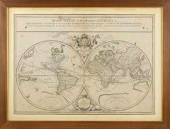
World map is an original modern artwork realized by Hubert Nicholas - Jaillot, printed by Louis Cordier in  Paris 1719. Etching on copper The artwork depicts two hemispheres, conti...

Category

1710s Old Masters Figurative Prints

Materials

Etching

Original Antique Map of The Eastern Hemisphere by Dower, circa 1835

Original Antique Map of The Eastern Hemisphere by Dower, circa 1835

Located in St Annes, Lancashire

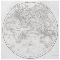
Nice map of the Eastern Hemisphere Drawn and engraved by J.Dower Published by Orr & Smith. C.1835 Unframed. Free shipping

Category

Antique 1830s English Maps

Materials

Paper

Antique Plan de l'Historie Universelle World Map, Framed Cartography, Circa 1730

Antique Plan de l'Historie Universelle World Map, Framed Cartography, Circa 1730

Located in Hele, Devon, GB

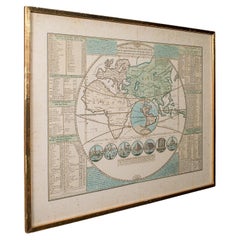
This is an antique Plan de l'Historie Universelle World Map. A Dutch, framed atlas engraving by Henri Abraham Chatelain, dating to the 18th century and later, circa 1730. Published...

Category

Antique 1730s Dutch George II Maps

Materials

Glass, Paper

Original Antique Map of The Western Hemisphere by Dower, circa 1835

Original Antique Map of The Western Hemisphere by Dower, circa 1835

Located in St Annes, Lancashire

Nice map of the Western Hemisphere Drawn and engraved by J.Dower Published by Orr & Smith. C.1835 Unframed. Free shipping

Category

Antique 1830s English Maps

Materials

Paper