Want more images or videos?
Request additional images or videos from the seller
1 of 5

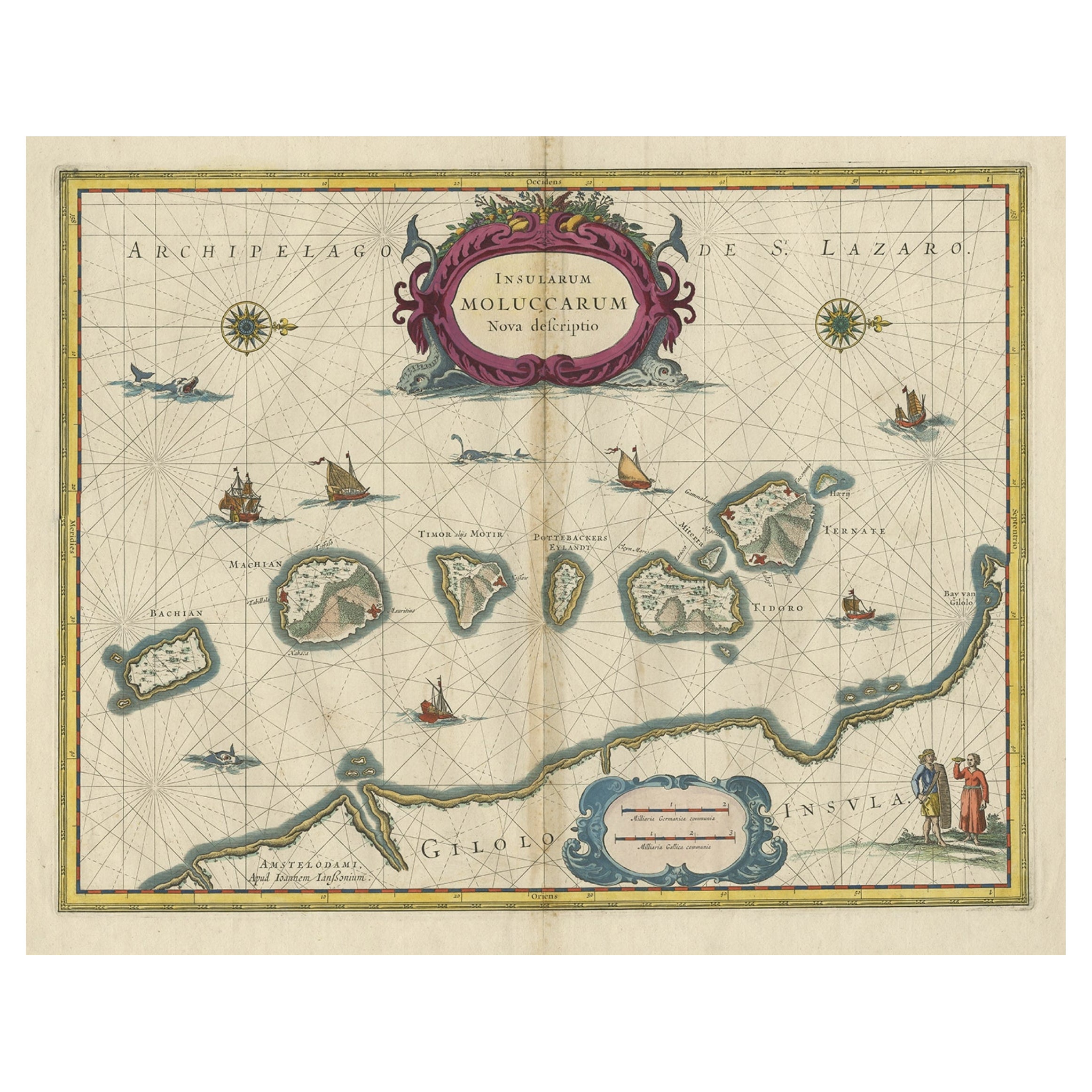
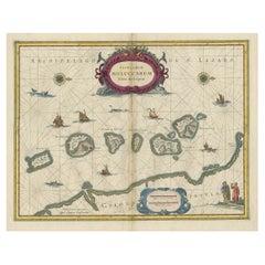
Old Map of the Moluccas, Known as the Famous Spice Islands, Indonesia, ca.1730

$653.91
$817.3920% Off
£483.77
£604.7120% Off
€552VAT Included
€69020% Off
CA$905.05
CA$1,131.3120% Off
A$908.34
A$1,135.4320% Off
CHF 529.68
CHF 662.1020% Off
MX$11,042.78
MX$13,803.4820% Off
NOK 6,086.57
NOK 7,608.2120% Off
SEK 6,259.73
SEK 7,824.6620% Off
DKK 4,208.66
DKK 5,260.8220% Off

About the Item

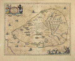
Antique map titled 'Insularum Moluccarum Nova Descriptio.' Old map of the Moluccas. The famous Spice Islands, the cornerstone of the Dutch trading empire in the East Indies throughout the 17th Century, is the focus of this exquisite map. Similar to Blaeu's map, except that it extends further south to include the island of Bachian. The very decorative title cartouche is supported by two sea monsters, and another cartouche contains the scale of miles. It is further embellished with various sailing vessels, sea monsters, two elaborate compass roses with north oriented to the right, and a native couple displaying the costumes and weapons of the region. This map of the was originated by Jan Jansson and here re-issued by Valk and Schenk. This map is similar to Blaeu's map except that it extends further south to include the island of Bachian. Artists and Engravers: Pieter Schenk / Petrus Schenck ( 1660-1718/19) was born in Germany, but settled in Amsterdam where he first became a pupil of Gerard Valck, the engraver. In 1687 he married Valck's sister and thereafter the Schenk and Valck families were active over a long period with a wide range of interests as print sellers, publishers of books, maps, topographical and architectural drawings and globes. Although they produced some original maps, most of their atlases consisted of printings from revised and re-worked plates originally by Jansson, the Visschers, the Sansons and others.
  • Dimensions:
    Height: 17.33 in (44 cm)Width: 23 in (58.4 cm)Depth: 0 in (0.02 mm)
  • Materials and Techniques:
  • Period:
    1730-1739
  • Date of Manufacture:
    circa 1730
  • Condition:
    Condition: Fair, given age. Original/contemporaryhand coloring. Small repaired tear bottom margin near middle fold. Edges reinforced with acid free tape on verso. Number written in ink on verso, also visible on recto top left. Paper slightly browned.
  • Seller Location:
    Langweer, NL
  • Reference Number:
    Seller: PCT-579981stDibs: LU3054327387992

More From This Seller

View All
Antique Map of Manipa and Other Maluku Islands, Indonesia, 1726

Antique Map of Manipa and Other Maluku Islands, Indonesia, 1726

Located in Langweer, NL

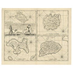
Antique map titled 'Caart van het Eyland Manipa, Noessa-Laoet, Honimoa, Oma. Der Manipesen dracht, een Orangkaya van Manipa.' Four maps of islands and two figures in native dress...

Category

Antique 18th Century Maps

Materials

Paper

Antique Map of the Moluccas (Maluku Islands), Indonesia – Bellin, 18th Century

Antique Map of the Moluccas (Maluku Islands), Indonesia – Bellin, 18th Century

Located in Langweer, NL

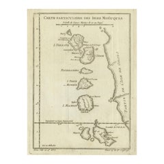
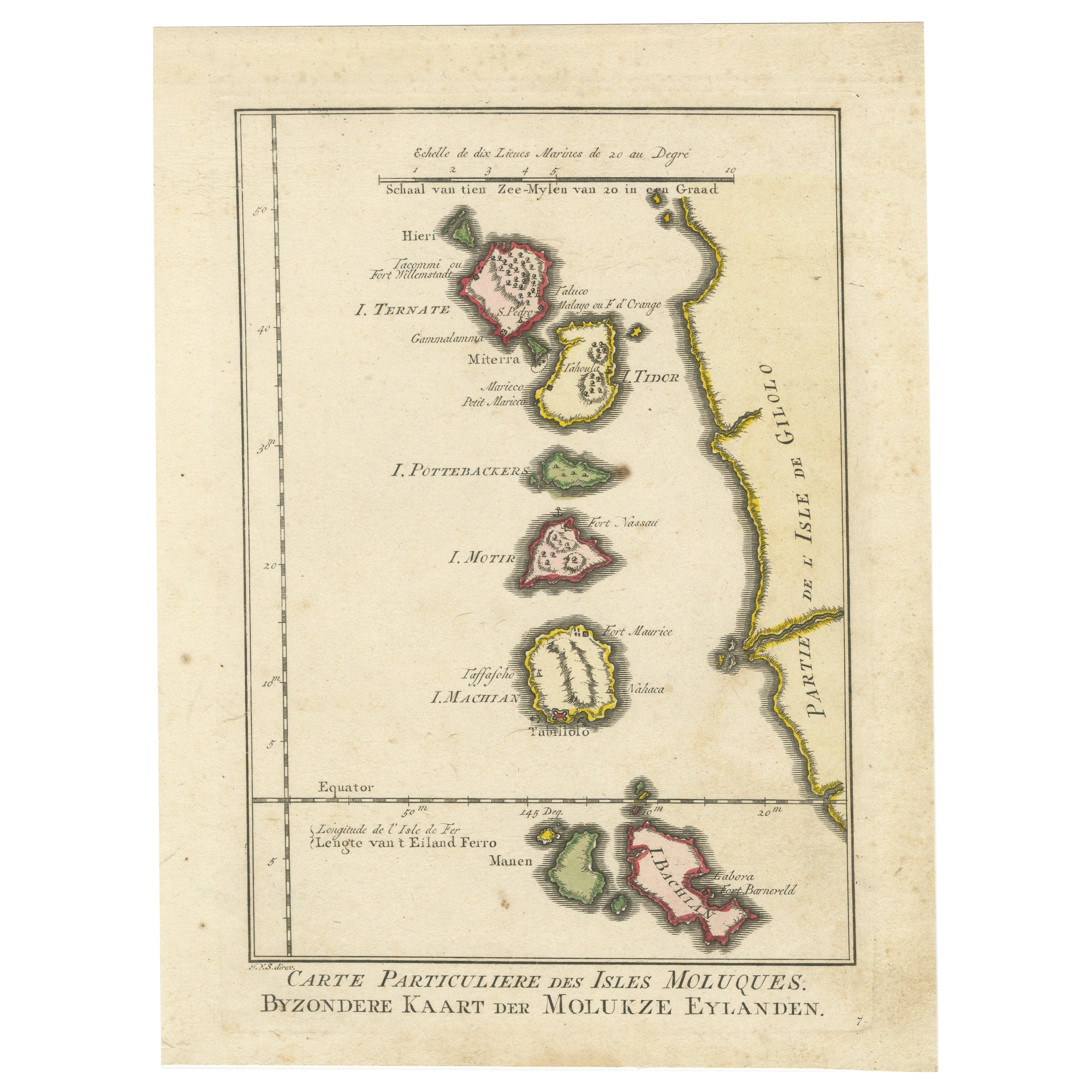
Antique Map of the Moluccas (Maluku Islands), Indonesia – Bellin, 18th Century Original antique engraved map titled “Carte Particulière des Isles Moluques,” depicting the Maluku Isl...

Category

Antique Mid-18th Century French Maps

Materials

Paper

Decorative Map of the Spice Islands in the Mollucas, Indonesia, ca.1640

Decorative Map of the Spice Islands in the Mollucas, Indonesia, ca.1640

Located in Langweer, NL

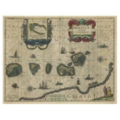
Antique map titled 'Moluccae Insulae Celeberrimae'. Decorative map of the Spice Islands. Inset of the Island of Bachian (Batjan) in an elaborate frame as well as a Moluccan couple in the lower right corner in Europeanized native dress. Artists and Engravers: Willem Janszoon Blaeu (1571-1638) was a prominent Dutch geographer and publisher. Born the son of a herring merchant, Blaeu chose not fish but mathematics and astronomy for his focus. He studied with the famous Danish astronomer Tycho...

Category

Antique 1640s Maps

Materials

Paper

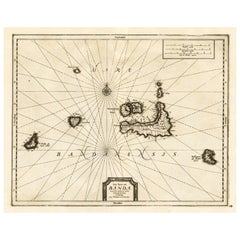
Antique Map of the Islands of Banda, Indonesia from a Very Rare Edition, 1725

Antique Map of the Islands of Banda, Indonesia from a Very Rare Edition, 1725

Located in Langweer, NL

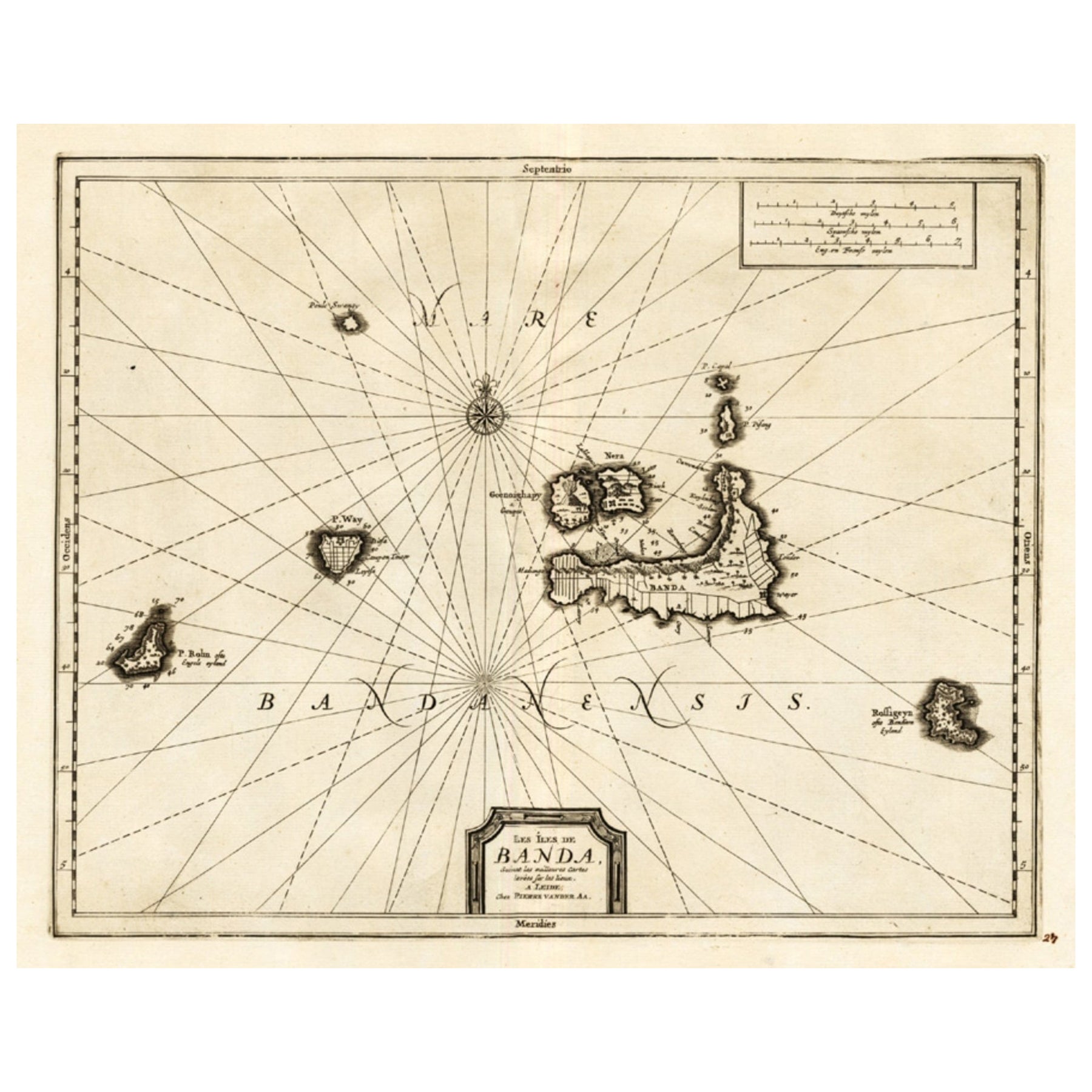
Antique map titled 'Les Iles de Banda (..).' (The islands of Banda, Indonesia.) Extremely rare in this edition. This plate originates from the very scarse: 'La galerie agreable d...

Category

Antique 1720s Maps

Materials

Paper

You May Also Like

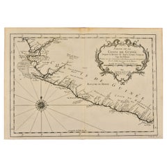
West Coast of Africa, Guinea & Sierra Leone: An 18th Century Map by Bellin

West Coast of Africa, Guinea & Sierra Leone: An 18th Century Map by Bellin

By Jacques-Nicolas Bellin

Located in Alamo, CA

Jacques Bellin's copper-plate map entitled "Partie de la Coste de Guinee Dupuis la Riviere de Sierra Leona Jusquau Cap das Palmas", depicting the coast of Guinea and Sierra Leone in ...

Category

Antique Mid-18th Century French Maps

Materials

Paper

Antique French Map of Asia Including China Indoneseia India, 1783

Antique French Map of Asia Including China Indoneseia India, 1783

Located in Amsterdam, Noord Holland

Very nice map of Asia. 1783 Dedie au Roy. Additional information: Country of Manufacturing: Europe Period: 18th century Qing (1661 - 1912) Condition: Overall Condition B (Good Used)...

Category

Antique 18th Century European Maps

Materials

Paper

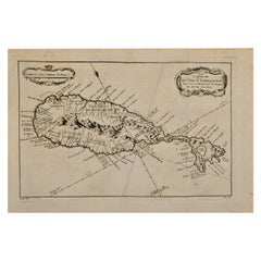
St. Christophe 'St. Kitts' Island: An 18th Century Hand-colored Map by Bellin

St. Christophe 'St. Kitts' Island: An 18th Century Hand-colored Map by Bellin

By Jacques-Nicolas Bellin

Located in Alamo, CA

Jacques Bellin's copper-plate map of the Caribbean island of Saint Kitts entitled "Carte De De l'Isle St. Christophe Pour servir á l'Histoire Genle. des V...

Category

Antique Mid-18th Century French Maps

Materials

Paper

Captain Cook's Exploration of Tahiti 18th C. Hand-Colored Map by Bellin

Captain Cook's Exploration of Tahiti 18th C. Hand-Colored Map by Bellin

By Jacques-Nicolas Bellin

Located in Alamo, CA

This beautiful 18th century hand-colored copper plate engraved map is entitled "Carte de l'Isle de Taiti, par le Lieutenant J. Cook" was created by Jacques Nicolas Bellin and publish...

Category

Antique Mid-18th Century French Maps

Materials

Paper