Want more images or videos?
Request additional images or videos from the seller
1 of 5

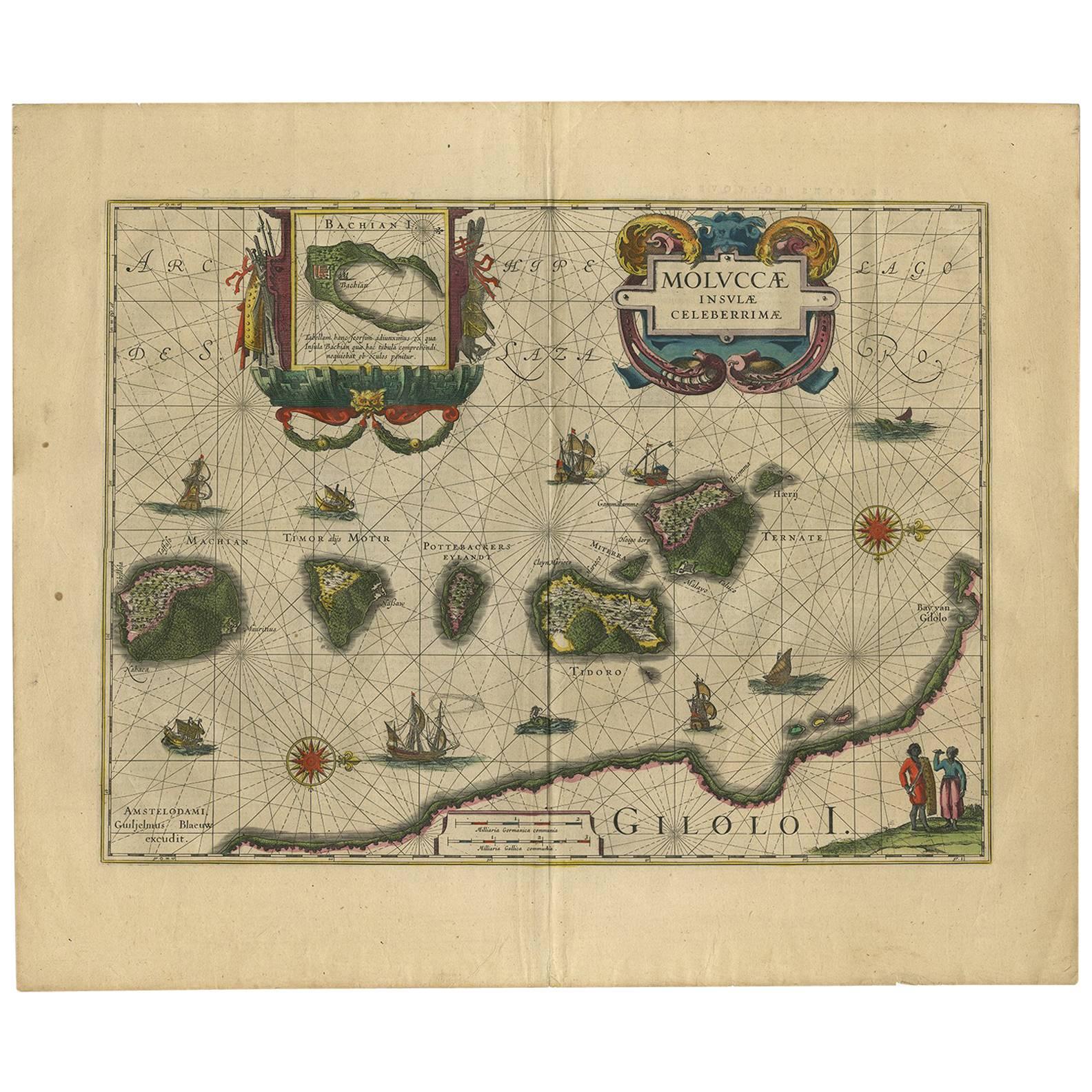
Beautiful Antique Map of the Moluccas or Spice Islands, Indonesia, ca.1650

$701.84
$877.2920% Off
£518.75
£648.4420% Off
€592VAT Included
€74020% Off
CA$968.01
CA$1,210.0220% Off
A$973.68
A$1,217.1020% Off
CHF 567.34
CHF 709.1720% Off
MX$11,862.88
MX$14,828.6020% Off
NOK 6,524.75
NOK 8,155.9320% Off
SEK 6,693.08
SEK 8,366.3520% Off
DKK 4,513.30
DKK 5,641.6220% Off

About the Item

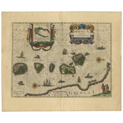
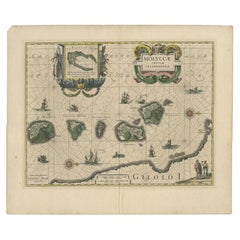
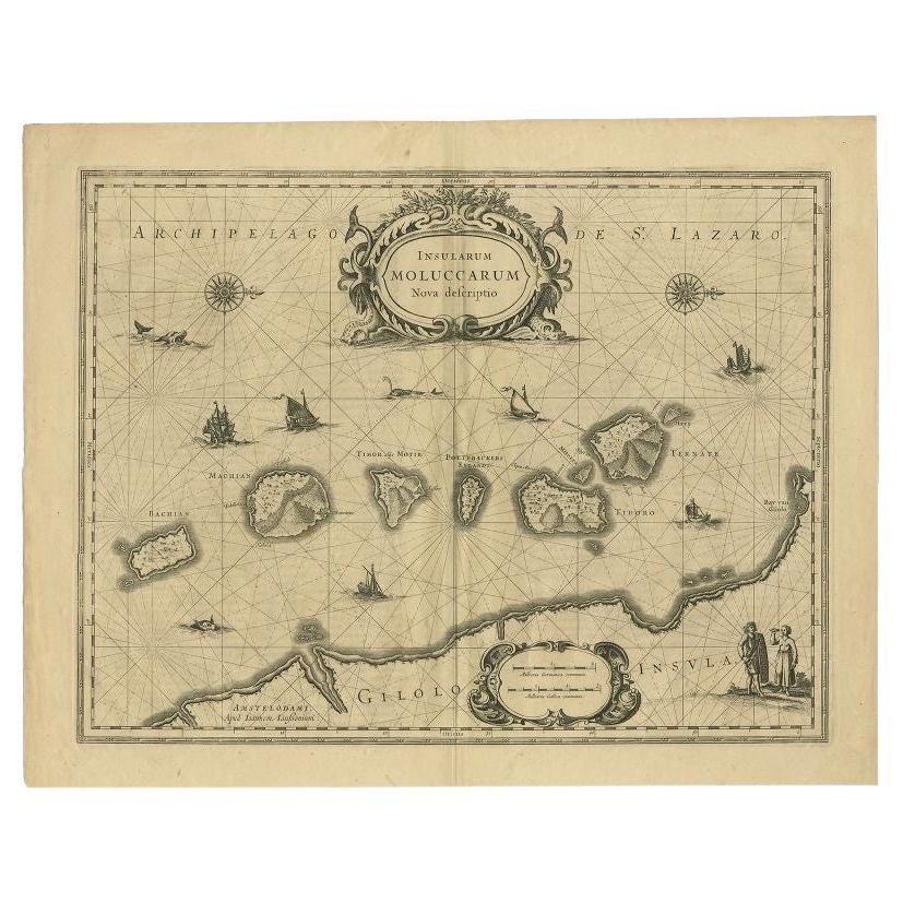
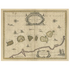
Antique map titled 'Insularum Moluccarum Nova Descriptio.' Beautiful map of the Moluccas. The famous Spice Islands, the cornerstone of the Dutch trading empire in the East Indies throughout the 17th Century, is the focus of this exquisite map. Similar to Blaeu's map, except that it extends further south to include the island of Bachian. The very decorative title cartouche is supported by two sea monsters, and another cartouche contains the scale of miles. It is further embellished with various sailing vessels, sea monsters, two elaborate compass roses with north oriented to the right, and a native couple displaying the costumes and weapons of the region. Artists and Engravers: Made by 'Johannes Janssonius' after an anonymous artist. Johannes Janssonius also known as Jan Jansson was born 1588 in Arnhem, Netherlands. His father was a bookseller and publisher (Jan Janszoon the Elder). When he married the daughter of the cartographer Jodocus Hondius he also set up a business as book publisher in Amsterdam. His first map was published in 1616. Around 15 years later he set up a partnership with his brother in law Hondius add issued further editions of the Mercator/Hondius atlas. After his death in 1664, his heirs still have published several maps. Many of his plates have been acquired by Pieter Schenk and Gerard Valk.
  • Dimensions:
    Height: 20.87 in (53 cm)Width: 22.64 in (57.5 cm)Depth: 0 in (0.02 mm)
  • Materials and Techniques:
  • Period:
    1650-1659
  • Date of Manufacture:
    circa 1650
  • Condition:
    Repaired: Repair on folding line,. Condition: Good, general age-related toning. Repair on folding line, blank verso. Please study image carefully.
  • Seller Location:
    Langweer, NL
  • Reference Number:
    Seller: BGJC-3701stDibs: LU3054327267572

More From This Seller

View All
Old Map of the Moluccas, Known as the Famous Spice Islands, Indonesia, ca.1730

Old Map of the Moluccas, Known as the Famous Spice Islands, Indonesia, ca.1730

Located in Langweer, NL

Antique map titled 'Insularum Moluccarum Nova Descriptio.' Old map of the Moluccas. The famous Spice Islands, the cornerstone of the Dutch trading empire in the East Indies throughout the 17th Century, is the focus of this exquisite map. Similar to Blaeu's map, except that it extends further south...

Category

Antique 1730s Maps

Materials

Paper
Decorative Map of the Spice Islands in the Mollucas, Indonesia, ca.1640

Decorative Map of the Spice Islands in the Mollucas, Indonesia, ca.1640

Located in Langweer, NL

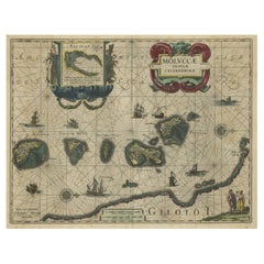
Antique map titled 'Moluccae Insulae Celeberrimae'. Decorative map of the Spice Islands. Inset of the Island of Bachian (Batjan) in an elaborate frame as well as a Moluccan couple in the lower right corner in Europeanized native dress. Artists and Engravers: Willem Janszoon Blaeu (1571-1638) was a prominent Dutch geographer and publisher. Born the son of a herring merchant, Blaeu chose not fish but mathematics and astronomy for his focus. He studied with the famous Danish astronomer Tycho...

Category

Antique 1640s Maps

Materials

Paper

Antique Map of the Spice Islands 'Moluccas', Indonesia by W. Blaeu, circa 1640

Antique Map of the Spice Islands 'Moluccas', Indonesia by W. Blaeu, circa 1640

By Willem Blaeu

Located in Langweer, NL

Antique map titled 'Moluccae Insulae Celeberrimae'. Highly decorative antique map of the Spice Islands (Moluccas) published by W. Blaeu (circa 1640). This map features a large inset ...

Category

Antique Mid-17th Century Dutch Maps

Materials

Paper

Antique Map of the Island Java, Indonesia, c.1650

Antique Map of the Island Java, Indonesia, c.1650

Located in Langweer, NL

Antique map titled 'Insulae Iavae cum parte insularum Boreno Sumatrae (..)'. Beautiful map of the island of Java and part of Borneo, Bali, Madura and Sumatra. With decorative carto...

Category

Antique 17th Century Maps

Materials

Paper

Antique Map of the Maluku Islands by Blaeu, c.1640

Antique Map of the Maluku Islands by Blaeu, c.1640

Located in Langweer, NL

Antique map titled 'Moluccae Insulae Celeberrimae'. Decorative map of the Maluku Islands, also known as the Moluccas or the Spice Islands. Inset of the island of Bachian (Batjan) in ...

Category

Antique 17th Century Maps

Materials

Paper

Antique Map of Java in The Dutch East Indies, Now Indonesia, c.1690

Antique Map of Java in The Dutch East Indies, Now Indonesia, c.1690

Located in Langweer, NL

Antique map titled 'Insulae Iavae cum parte insularum Boreno Sumatrae (..)'. Beautiful map of the Island of Java and part of Borneo, Bali, Madura and Sumatra. Artists and Engrave...

Category

Antique 17th Century Maps

Materials

Paper

You May Also Like

Southern Greece: A Large 17th C. Hand-colored Map by Sanson and Jaillot

Southern Greece: A Large 17th C. Hand-colored Map by Sanson and Jaillot

By Nicolas Sanson

Located in Alamo, CA

This large original hand-colored copperplate engraved map of southern Greece and the Pelopponese Peninsula entitled "La Moree Et Les Isles De Zante, Cefalonie, Ste. Marie, Cerigo & C...

Category

Antique 1690s French Maps

Materials

Paper

Antique Voc Print Holland Malaysia Old Map Melaka History, 1663

Antique Voc Print Holland Malaysia Old Map Melaka History, 1663

Located in Amsterdam, Noord Holland

From my own collection I offer this impressive Antique print of the city of Malakka A very interesting piece for collectors . It is an museum piece from the Dutch Institute of Orien...

Category

Antique 17th Century European Paintings

Materials

Paper