Want more images or videos?
Request additional images or videos from the seller
1 of 11

Antique Map of the Spice Islands 'Moluccas', Indonesia by W. Blaeu, circa 1640

$1,658.48
£1,226.96
€1,400VAT Included
CA$2,295.42
A$2,303.76
CHF 1,343.40
MX$28,007.06
NOK 15,436.95
SEK 15,876.12
DKK 10,674.14

About the Item

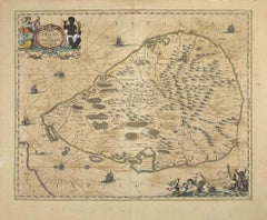
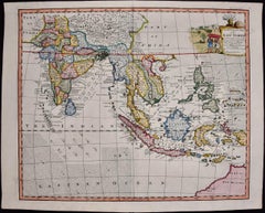
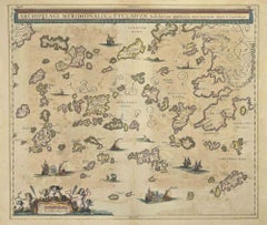
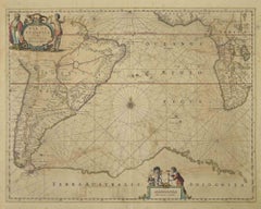
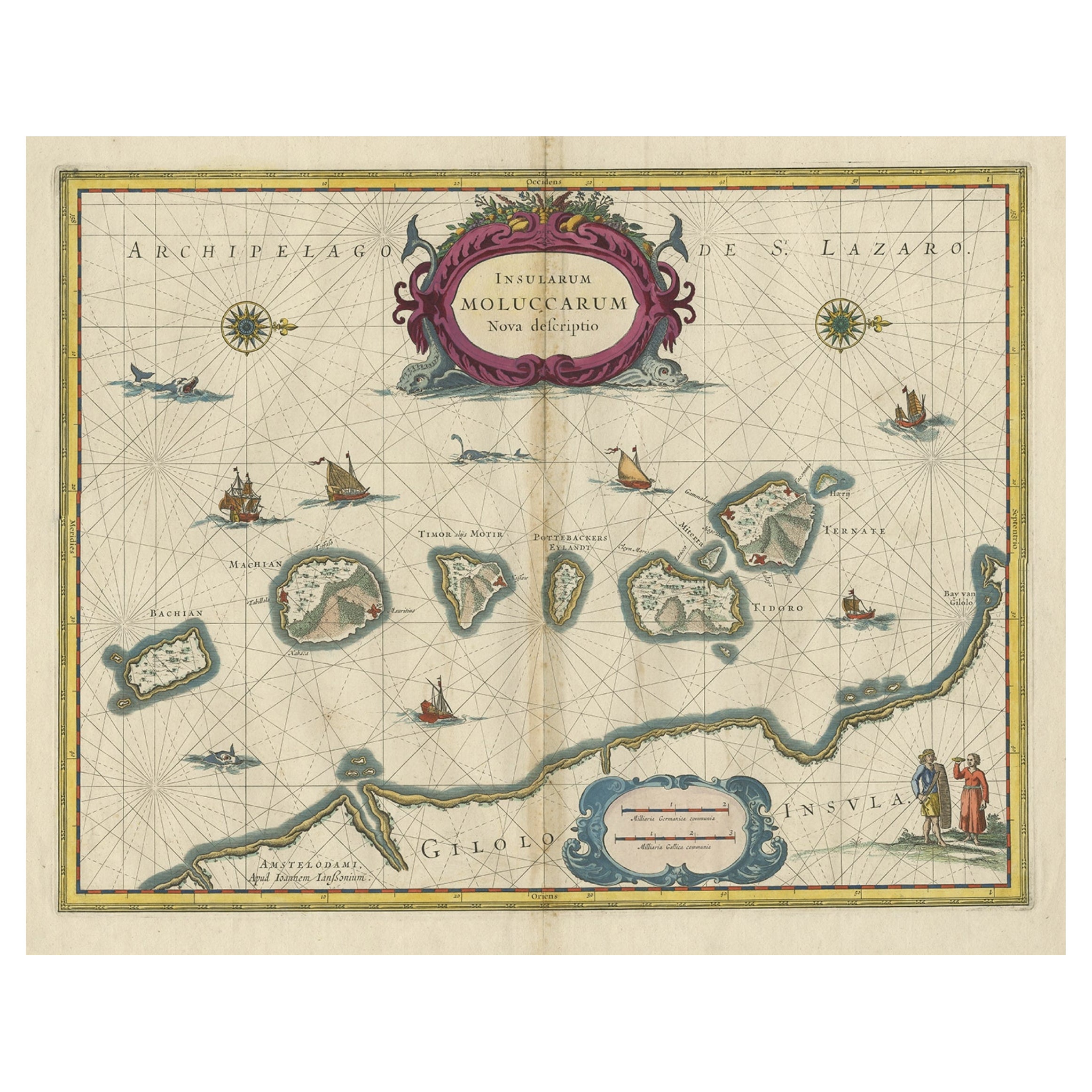
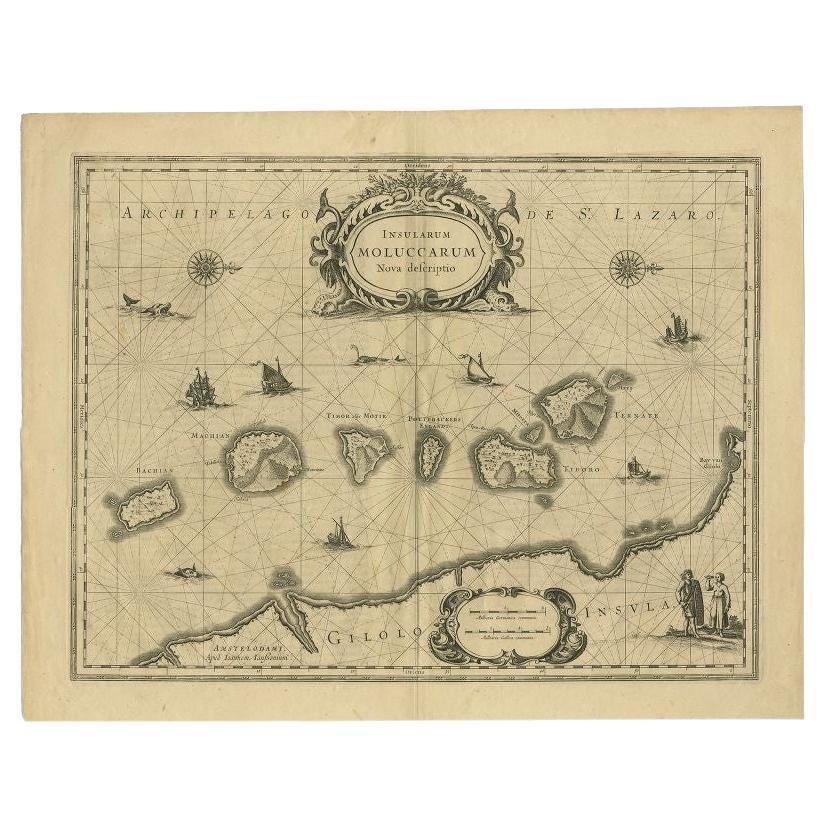
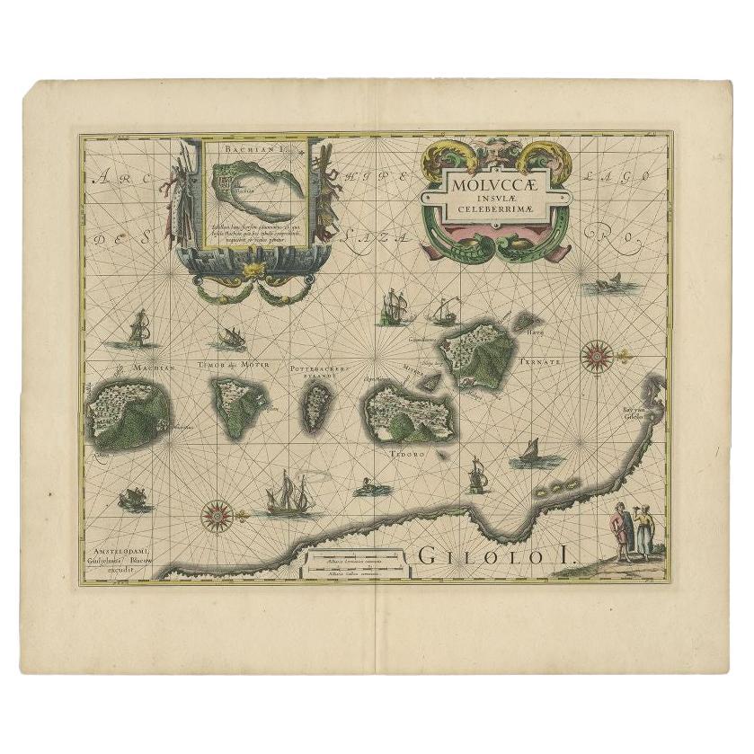
Antique map titled 'Moluccae Insulae Celeberrimae'. Highly decorative antique map of the Spice Islands (Moluccas) published by W. Blaeu (circa 1640). This map features a large inset of the Island of Bachian (Batjan) in an elaborate frame as well as a Moluccan couple in the lower right corner in Europeanized native dress. The seas are filled with both European and local ships, two of which are engaged in battle. Sea monsters and decorative compass two roses are also shown.
  • Creator:
    Willem Blaeu (Artist)
  • Dimensions:
    Height: 19.69 in (50 cm)Width: 23.04 in (58.5 cm)Depth: 0.02 in (0.5 mm)
  • Materials and Techniques:
    Paper,Engraved
  • Place of Origin:
  • Period:
    Mid-17th Century
  • Date of Manufacture:
    circa 1640
  • Condition:
    Condition: Very good, given age. General age-related toning and/or occasional minor defects from handling. Please study scan carefully.
  • Seller Location:
    Langweer, NL
  • Reference Number:
    Seller: BG-020871stDibs: LU305438759653

More From This Seller

View All
Antique Map of the Maluku Islands by Blaeu, c.1640

Antique Map of the Maluku Islands by Blaeu, c.1640

Located in Langweer, NL

Antique map titled 'Moluccae Insulae Celeberrimae'. Decorative map of the Maluku Islands, also known as the Moluccas or the Spice Islands. Inset of the island of Bachian (Batjan) in ...

Category

Antique 17th Century Maps

Materials

Paper
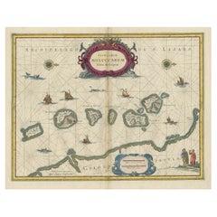
Decorative Map of the Spice Islands in the Mollucas, Indonesia, ca.1640

Decorative Map of the Spice Islands in the Mollucas, Indonesia, ca.1640

Located in Langweer, NL

Antique map titled 'Moluccae Insulae Celeberrimae'. Decorative map of the Spice Islands. Inset of the Island of Bachian (Batjan) in an elaborate frame as well as a Moluccan couple in the lower right corner in Europeanized native dress. Artists and Engravers: Willem Janszoon Blaeu (1571-1638) was a prominent Dutch geographer and publisher. Born the son of a herring merchant, Blaeu chose not fish but mathematics and astronomy for his focus. He studied with the famous Danish astronomer Tycho...

Category

Antique 1640s Maps

Materials

Paper

Antique Map of the Maluku Islands by Van der Aa, 1714

Antique Map of the Maluku Islands by Van der Aa, 1714

By Pieter Van Der Aa

Located in Langweer, NL

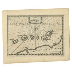
Antique Map Moluccas titled 'Les Isles Moluques'. Rare map of the Spice Islands made after a map engraved by Pieter van den Keere and published in the 1628 edition of the Mercator At...

Category

Antique 18th Century Maps

Materials

Paper

Antique Map of the Island Java, Indonesia, c.1650

Antique Map of the Island Java, Indonesia, c.1650

Located in Langweer, NL

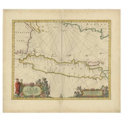
Antique map titled 'Insulae Iavae cum parte insularum Boreno Sumatrae (..)'. Beautiful map of the island of Java and part of Borneo, Bali, Madura and Sumatra. With decorative carto...

Category

Antique 17th Century Maps

Materials

Paper
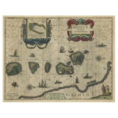
Old Map of the Moluccas, Known as the Famous Spice Islands, Indonesia, ca.1730

Old Map of the Moluccas, Known as the Famous Spice Islands, Indonesia, ca.1730

Located in Langweer, NL

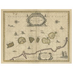
Antique map titled 'Insularum Moluccarum Nova Descriptio.' Old map of the Moluccas. The famous Spice Islands, the cornerstone of the Dutch trading empire in the East Indies throughout the 17th Century, is the focus of this exquisite map. Similar to Blaeu's map, except that it extends further south...

Category

Antique 1730s Maps

Materials

Paper

You May Also Like