Want more images or videos?
Request additional images or videos from the seller
1 of 6

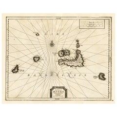
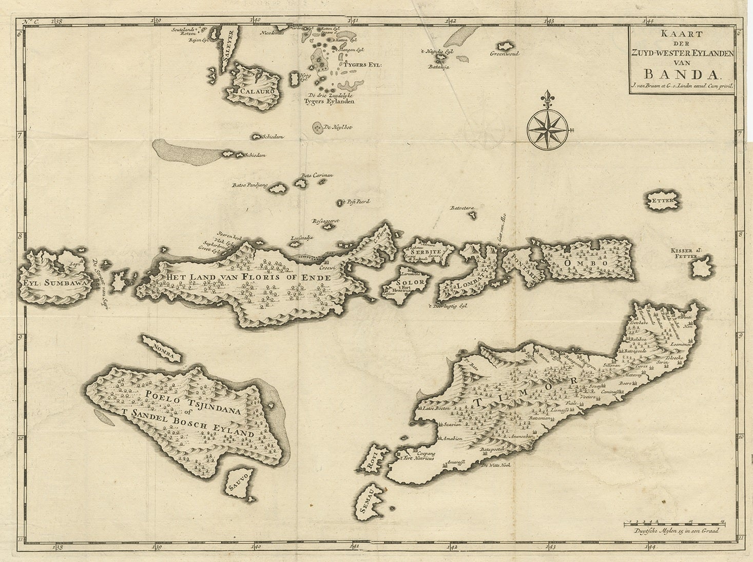
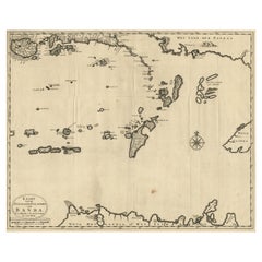
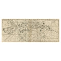
Original Antique Map Southeast of the Banda or Spice Islands, Indonesia, 1726

$911.97
£674.98
€770VAT Included
CA$1,261.87
A$1,265.84
CHF 739.24
MX$15,412.01
NOK 8,488.55
SEK 8,741.89
DKK 5,870.68

About the Item

Antique map titled 'Kaart van de Zuyd-Ooster Eylanden van Banda'. Map of the southeastern part of the Banda islands. This map originates from 'Oud en Nieuw Oost-Indiën' by F. Valentijn. Artists and Engravers: François Valentijn (1666-1727), a missionary, worked at Amboina from 1684 to 1694 and 1705 to 1713 and travelled extensively in the VOC's lands. Condition: Good, repair on lower folding line. Please study image carefully.
  • Dimensions:
    Height: 19.69 in (50 cm)Width: 23.23 in (59 cm)Depth: 0 in (0.02 mm)
  • Materials and Techniques:
  • Period:
    1720-1729
  • Date of Manufacture:
    1726
  • Condition:
    Repaired: Repair on lower folding line. Please study image carefully. Wear consistent with age and use. Condition: Good, repair on lower folding line. Please study image carefully.
  • Seller Location:
    Langweer, NL
  • Reference Number:
    Seller: BGRN-2461stDibs: LU3054326715432

More From This Seller

View All
Map of the Southeastern Part of the Banda Islands, Incl Northern Australia, 1726

Map of the Southeastern Part of the Banda Islands, Incl Northern Australia, 1726

Located in Langweer, NL

Antique map titled 'Kaart van de Zuyd-Ooster Eylanden van Banda.' Map of the southeastern part of the Banda islands. This map originates from 'Oud en Nieuw Oost-Indiën' by Franço...

Category

Antique 1720s Maps

Materials

Paper
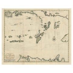
Old Antique Map of the Banda Islands (Southeast), Indonesia & Northern Australia

Old Antique Map of the Banda Islands (Southeast), Indonesia & Northern Australia

By F. Valentijn

Located in Langweer, NL

Original antique map titled 'Kaart van de Zuyd-Ooster Eylanden van Banda'. Important map of the seas and islands surrounding the Banda Islands, Indonesia, extending south to northern Australia, east to Papua New Guinea and north to Ceram. Published 1724-1726 by Joannes van Braam...

Category

Antique Early 18th Century Maps

Materials

Paper

Antique Map of the Islands of Banda, Indonesia from a Very Rare Edition, 1725

Antique Map of the Islands of Banda, Indonesia from a Very Rare Edition, 1725

Located in Langweer, NL

Antique map titled 'Les Iles de Banda (..).' (The islands of Banda, Indonesia.) Extremely rare in this edition. This plate originates from the very scarse: 'La galerie agreable d...

Category

Antique 1720s Maps

Materials

Paper
Antique Map of Ambon Island in the Moluccas, Indonesia, c.1760

Antique Map of Ambon Island in the Moluccas, Indonesia, c.1760

Located in Langweer, NL

Antique map Ambon titled 'Carte Particuliere de l 'Isle Amboine'. Old map showing Ambon, in the Moluccas Islands, better known as the Spice Islands. Ambon was the headquarters of the...

Category

Antique 18th Century Maps

Materials

Paper

Old Map of the Moluccas, Known as the Famous Spice Islands, Indonesia, ca.1730

Old Map of the Moluccas, Known as the Famous Spice Islands, Indonesia, ca.1730

Located in Langweer, NL

Antique map titled 'Insularum Moluccarum Nova Descriptio.' Old map of the Moluccas. The famous Spice Islands, the cornerstone of the Dutch trading empire in the East Indies throughout the 17th Century, is the focus of this exquisite map. Similar to Blaeu's map, except that it extends further south...

Category

Antique 1730s Maps

Materials

Paper

You May Also Like

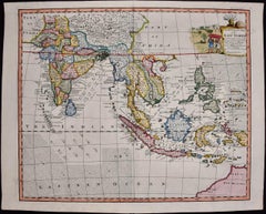
Original Antique Map of South East Asia by Thomas Clerk, 1817

Original Antique Map of South East Asia by Thomas Clerk, 1817

Located in St Annes, Lancashire

Great map of South East Asia Copper-plate engraving Drawn and engraved by Thomas Clerk, Edinburgh. Published by Mackenzie And Dent, 1817 Unframed.

Category

Antique 1810s English Maps

Materials

Paper

Antique French Map of Asia Including China Indoneseia India, 1783

Antique French Map of Asia Including China Indoneseia India, 1783

Located in Amsterdam, Noord Holland

Very nice map of Asia. 1783 Dedie au Roy. Additional information: Country of Manufacturing: Europe Period: 18th century Qing (1661 - 1912) Condition: Overall Condition B (Good Used)...

Category

Antique 18th Century European Maps

Materials

Paper

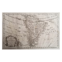
Original Antique Map of South America. C.1780

Original Antique Map of South America. C.1780

Located in St Annes, Lancashire

Great map of South America Copper-plate engraving Published C.1780 Two small worm holes to left side of map Unframed.

Category

Antique Early 1800s English Georgian Maps

Materials

Paper

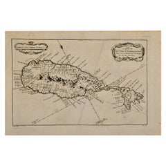
St. Christophe 'St. Kitts' Island: An 18th Century Hand-colored Map by Bellin

St. Christophe 'St. Kitts' Island: An 18th Century Hand-colored Map by Bellin

By Jacques-Nicolas Bellin

Located in Alamo, CA

Jacques Bellin's copper-plate map of the Caribbean island of Saint Kitts entitled "Carte De De l'Isle St. Christophe Pour servir á l'Histoire Genle. des V...

Category

Antique Mid-18th Century French Maps

Materials

Paper

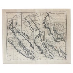
Antique Map of California as an Island "The 5 Californias" by Robert de Vaugondy

Antique Map of California as an Island "The 5 Californias" by Robert de Vaugondy

Located in San Diego, CA

A very nice and rare antique map entitled "Carte de la Californie Suivant" (The 5 Californias), by Didier Robert de Vaugondy of Paris, circa 1772. The map itself measures 15.5" x 13...

Category

Antique Mid-19th Century American Maps

Materials

Paper