Want more images or videos?
Request additional images or videos from the seller
1 of 7

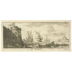
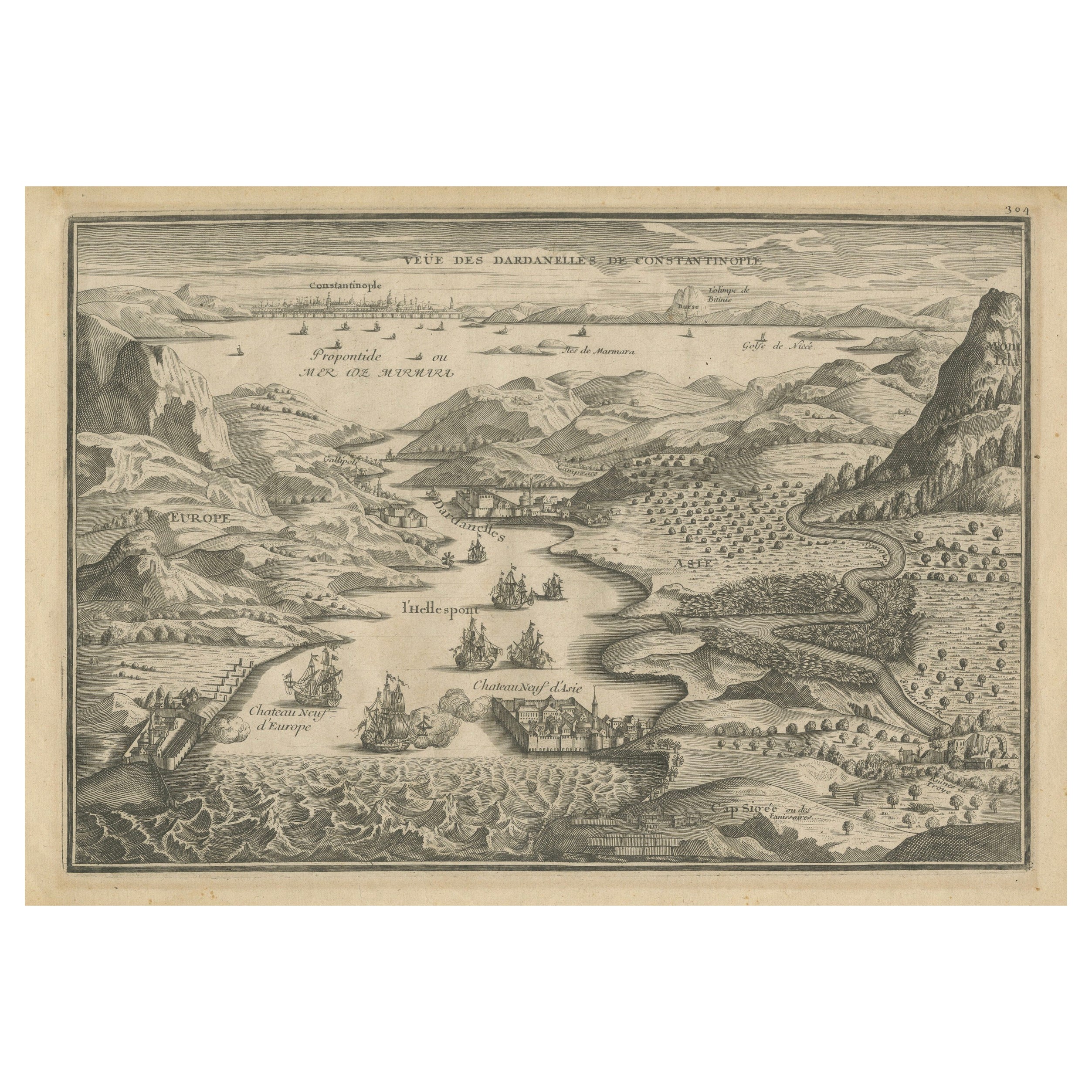
The Dardanelles with Fortified Towers and Maritime Activity, ca. 1680

$261.66
£191.99
€220VAT Included
CA$362.49
A$365.91
CHF 210.25
MX$4,435.25
NOK 2,433.56
SEK 2,485.74
DKK 1,677.45

About the Item

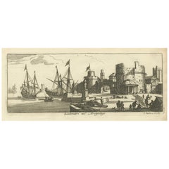
Title: The Dardanelles with Fortified Towers and Maritime Activity, ca. 1680 Description: This copperplate engraving portrays the Dardanelles Strait with its imposing fortified towers dominating the shoreline. The detailed scene highlights a bustling maritime environment with ships navigating the rough waters and windmills visible in the distance. The fortifications include cannons and small towers, emphasizing the strategic importance of the location. Attributed to Jan Peeters as the delineator and published by Jacob Peeters, this engraving captures the military and commercial significance of the Dardanelles in the 17th century. Size: Engraving size approximately 10.5 x 25.5 cm Sheet size approximately 17 x 29 cm Condition: Good condition with clear impressions and detailed imagery. Light foxing is visible, particularly in the margins, along with minor handling marks. Slight edge wear, but not detracting from the engraving’s visual appeal.
  • Dimensions:
    Height: 6.7 in (17 cm)Width: 11.23 in (28.5 cm)Depth: 0.01 in (0.2 mm)
  • Materials and Techniques:
    Paper,Engraved
  • Period:
    1680-1689
  • Date of Manufacture:
    circa 1680
  • Condition:
    Good condition with strong details, light foxing, minor handling marks, slight edge wear, due to age and handling.
  • Seller Location:
    Langweer, NL
  • Reference Number:
    Seller: BG-14036-101stDibs: LU3054342967742

More From This Seller

View All
Engraved View of the Dardanelles with Fortifications and Ships, ca. 1680

Engraved View of the Dardanelles with Fortifications and Ships, ca. 1680

Located in Langweer, NL

Title: View of the Dardanelles with Fortifications and Ships, ca. 1680 Description: This copperplate engraving offers a detailed view of the Dardanelles Strait, emphasizing its s...

Category

Antique 1680s Prints

Materials

Paper

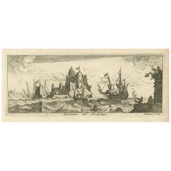
View of Bartanico in the Aegean Archipelago with Fortifications and Ships, 1680

View of Bartanico in the Aegean Archipelago with Fortifications and Ships, 1680

Located in Langweer, NL

Title: View of Bartanico in the Aegean Archipelago with Fortifications and Ships, ca. 1680 Description: This copperplate engraving depicts a striking view of Bartanico (possibly P...

Category

Antique 1680s Prints

Materials

Paper

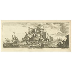
Fortified Island in the Aegean Archipelago with Ships at Sea, circa 1680

Fortified Island in the Aegean Archipelago with Ships at Sea, circa 1680

Located in Langweer, NL

Title: Fortified Island in the Aegean Archipelago with Ships at Sea, circa 1680 Description: This copperplate engraving depicts a dramatic scene of a fortified island rising f...

Category

Antique 1680s Prints

Materials

Paper

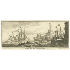
Maritime Scene in the Aegean Archipelago with Fortifications & Ships, circa 1680

Maritime Scene in the Aegean Archipelago with Fortifications & Ships, circa 1680

Located in Langweer, NL

Title: Canal Scene in the Archipelago – Engraving by Lucas Vorsterman after Jan Peeters, Antwerp, circa 1680 Description: This copperplate engraving depicts a lively maritime sce...

Category

Antique 1680s Prints

Materials

Paper

Port Scene at Ladimiti in the Aegean Archipelago with Fortifications, ca. 1680

Port Scene at Ladimiti in the Aegean Archipelago with Fortifications, ca. 1680

Located in Langweer, NL

Title: Port Scene at Ladimiti in the Aegean Archipelago with Fortifications, ca. 1680 Description: This copperplate engraving depicts a bustling port scene at Ladimiti (likely Lem...

Category

Antique 1680s Prints

Materials

Paper

View of Fanar in the Aegean Archipelago with Bridge and Ships, ca. 1680

View of Fanar in the Aegean Archipelago with Bridge and Ships, ca. 1680

Located in Langweer, NL

Title: View of Fanar in the Aegean Archipelago with Bridge and Ships, ca. 1680 Description: This copperplate engraving showcases a detailed view of Fanar (possibly Fener or anothe...

Category

Antique 1680s Prints

Materials

Paper

You May Also Like

18th Century French Map and City View of Joppe/Jaffa (Tel Aviv) by Sanson

18th Century French Map and City View of Joppe/Jaffa (Tel Aviv) by Sanson

By Nicholas Sanson d'Abbeville

Located in Alamo, CA

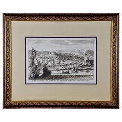
An original antique engraving entitled "Joppe; in ’t Hebreeusch by ouds Japho; hedendaags Japha, of Jaffa; volgens d’aftekening gedaan 1668", by Nicholas Sanson d'Abbeville (1600 - 1667). This is a view of the city of Joppe (in Hebrew Japho), now called Japha or Jaffa, the harbor portion of modern day Tel Aviv, Israel as it appeared in 1668 . It depicts a very busy harbor with numerous boats. A large ship on the left appears to be firing its canons and a small ship on the right appears to be sitting very low in the water, either heavily loaded with cargo or sinking. The town is seen on the far shore with a fortress on a hill across in the background. The map is printed from the original Sanson copperplate and was published in 1709 by his descendants. The map is presented in an ornate brown wood frame embellished by gold-colored leaves and gold inner trim with a double mat; the outer mat is cream-colored and the inner mat is black. There is a central vertical fold, as issued. There are two small spots in the lower margin and one in the upper margin, as well as two tiny spots adjacent to the central fold. 1717 is written below the date 1668 in the inscription. The map is otherwise in very good condition. Another map of the "Holy Land" (by Claes Visscher in 1663), with an identical style frame and mat is available. This pair of maps would make a wonderful display grouping. Please see Reference #LU117324709892. Artist: Nicholas Sanson d'Abbeville (1600 - 1667) and his descendents were important French cartographer's active through the 17th century. Sanson started his career as a historian and initially utilized cartography to illustrate his historical treatises. His maps came to the attention of Cardinal Richelieu and then King Louis XIII of France, who became a supporter and sponsor. He subsequently appointed Sanson 'Geographe Ordinaire du Roi' the official map maker to the king. Sanson not only created maps for the king, but advised him on geographical issues and curated his map collection...

Category

Early 1700s Prints and Multiples
Materials

Engraving

F. CEPPARULI (*1750) after VANNI (*1750), "Temple on an Island in the Water"

F. CEPPARULI (*1750) after VANNI (*1750), "Temple on an Island in the Water"

Located in Madrid, ES

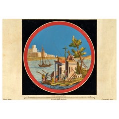
F. CEPPARULI (*1750) after VANNI (*1750), Temple on an Island in the Water, circa 1780 Copper engraving Francesco Cepparuli (before 1750 - after 1767 ) after Niccolo Vanni (before 1...

Category

Antique 18th Century Italian Baroque Drawings

Materials

Paint

17th Century Topographical Engraving Nantes & St. Malo, France, by Iohan Peeters

17th Century Topographical Engraving Nantes & St. Malo, France, by Iohan Peeters

Located in New York, NY

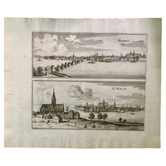
The ancient city of Saint Malo in North Western France has long been associated with adventure on the high seas, piracy and exploration. It was the birthplace of several important in...

Category

Antique 17th Century Dutch Maps

Materials

Paper

Harbour with a Round Tower

Harbour with a Round Tower

By Claude Lorrain

Located in Middletown, NY

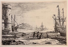
1641. Etching on cream wove paper, 5 1/16 x 7 11/16 inches (128 x 195 mm), narrow margins. Printed 19th century on a remainder which has a partially trimmed, printed image of a Virgi...

Category

Mid-17th Century French School Figurative Prints

Materials

Handmade Paper, Etching

18th Century French Map and City View of Joppe/Jaffa 'Tel Aviv' by Sanson

18th Century French Map and City View of Joppe/Jaffa 'Tel Aviv' by Sanson

By Nicolas Sanson

Located in Alamo, CA

An original antique engraving entitled "Joppe; in ’t Hebreeusch by ouds Japho; hedendaags Japha, of Jaffa; volgens d’aftekening gedaan 1668", by Nicholas Sanson d'Abbeville (1600 - 1667). This is a view of the city of Joppe (in Hebrew Japho), now called Japha or Jaffa, the harbor portion of modern day Tel Aviv, Israel as it appeared in 1668 . It depicts a very busy harbor with numerous boats. A large ship on the left appears to be firing its canons and a small ship on the right appears to be sitting very low in the water, either heavily loaded with cargo or sinking. The town is seen on the far shore with a fortress on a hill across in the background. The map is printed from the original Sanson copperplate and was published in 1709 by his descendants. The map is presented in an ornate brown wood frame embellished by gold-colored leaves and gold inner trim with a double mat; the outer mat is cream-colored and the inner mat is black. There is a central vertical fold, as issued. There are two small spots in the lower margin and one in the upper margin, as well as two tiny spots adjacent to the central fold. 1717 is written below the date 1668 in the inscription. The map is otherwise in very good condition. Another map of the "Holy Land" (by Claes Visscher in 1663), with an identical style frame and mat is available. This pair of maps would make a wonderful display grouping. Please see Reference #LU5206220653552. A discount is available for the purchase of the pair of maps. Artist: Nicholas Sanson d'Abbeville (1600-1667) and his descendents were important French cartographer's active through the 17th century. Sanson started his career as a historian and initially utilized cartography to illustrate his historical treatises. His maps came to the attention of Cardinal Richelieu and then King Louis XIII of France, who became a supporter and sponsor. He subsequently appointed Sanson 'Geographe Ordinaire du Roi' the official map maker to the king. Sanson not only created maps for the king, but advised him on geographical issues and curated his map collection...

Category

Antique Early 18th Century French Maps

Materials

Paper