Want more images or videos?
Request additional images or videos from the seller
1 of 5

Frederick de Wit
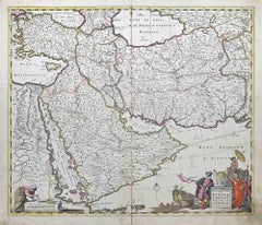
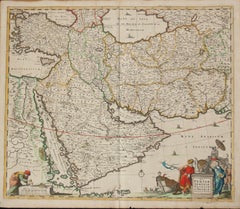
Turcicum Imperium - Etching by Frederick de Wit - 1680ca

1680 ca

$1,411.26
£1,047.90
€1,200VAT Included
CA$1,980.59
A$2,007.73
CHF 1,141.94
MX$24,439.72
NOK 13,393.81
SEK 13,426.54
DKK 9,149.40

About the Item

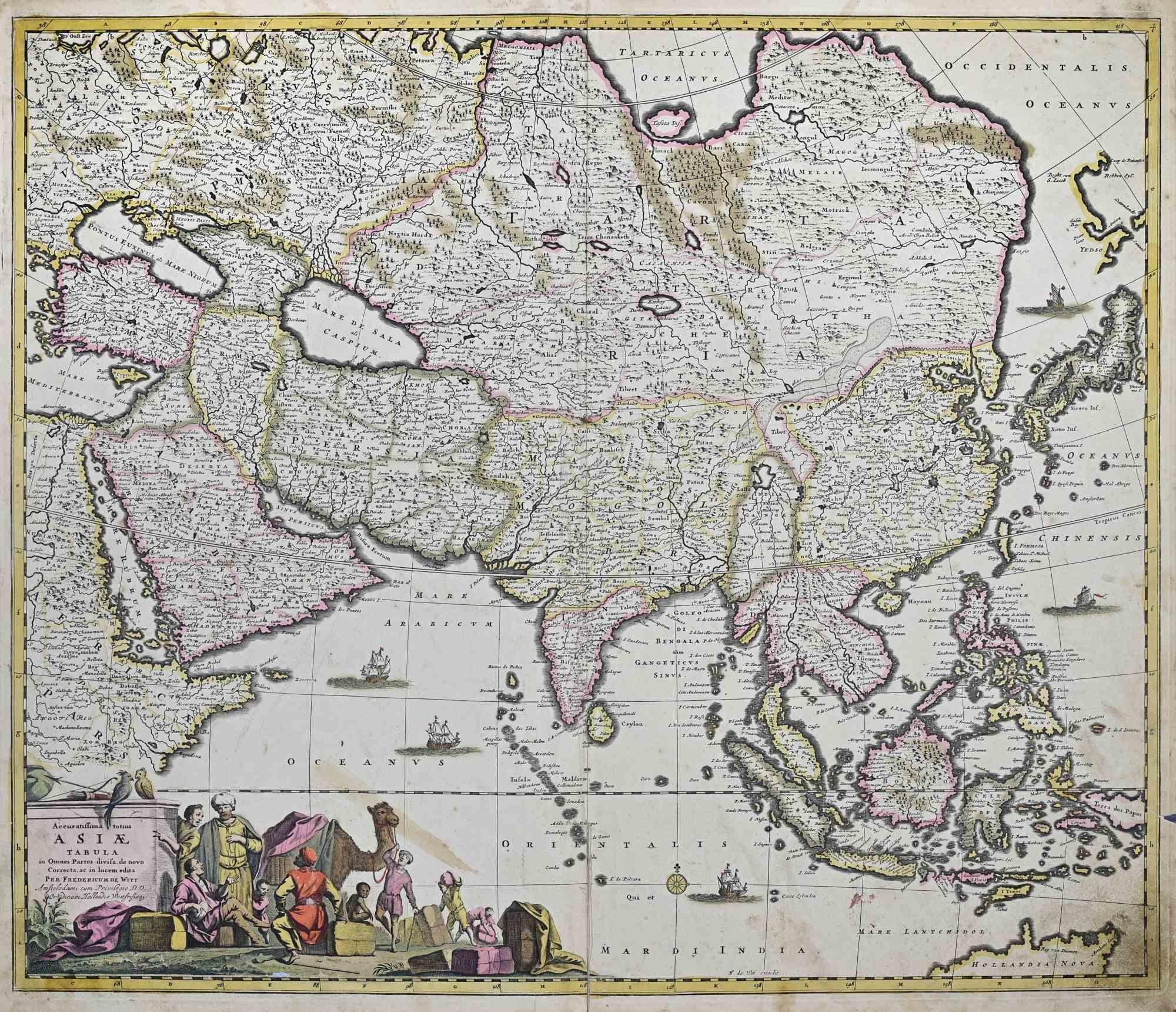
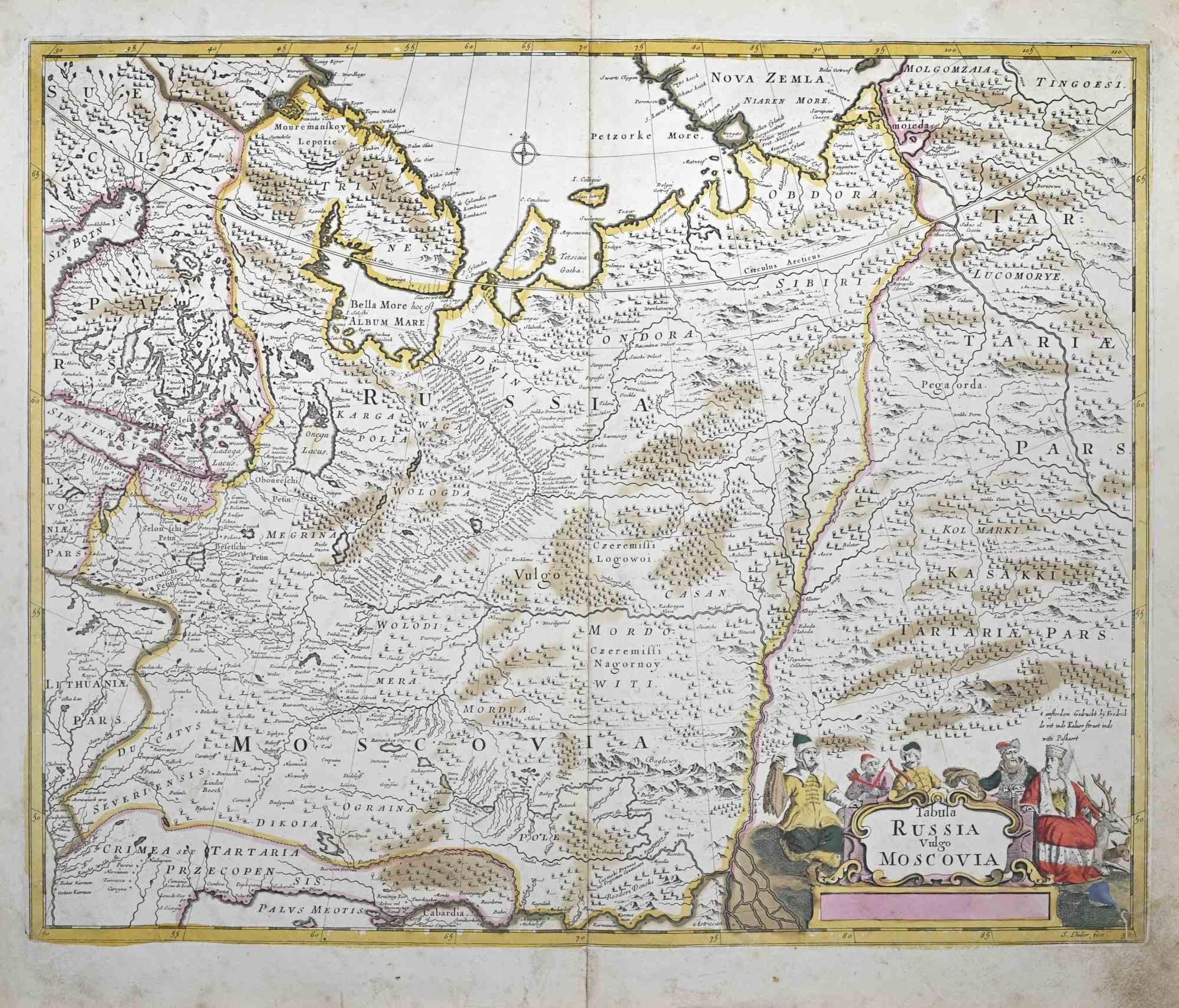
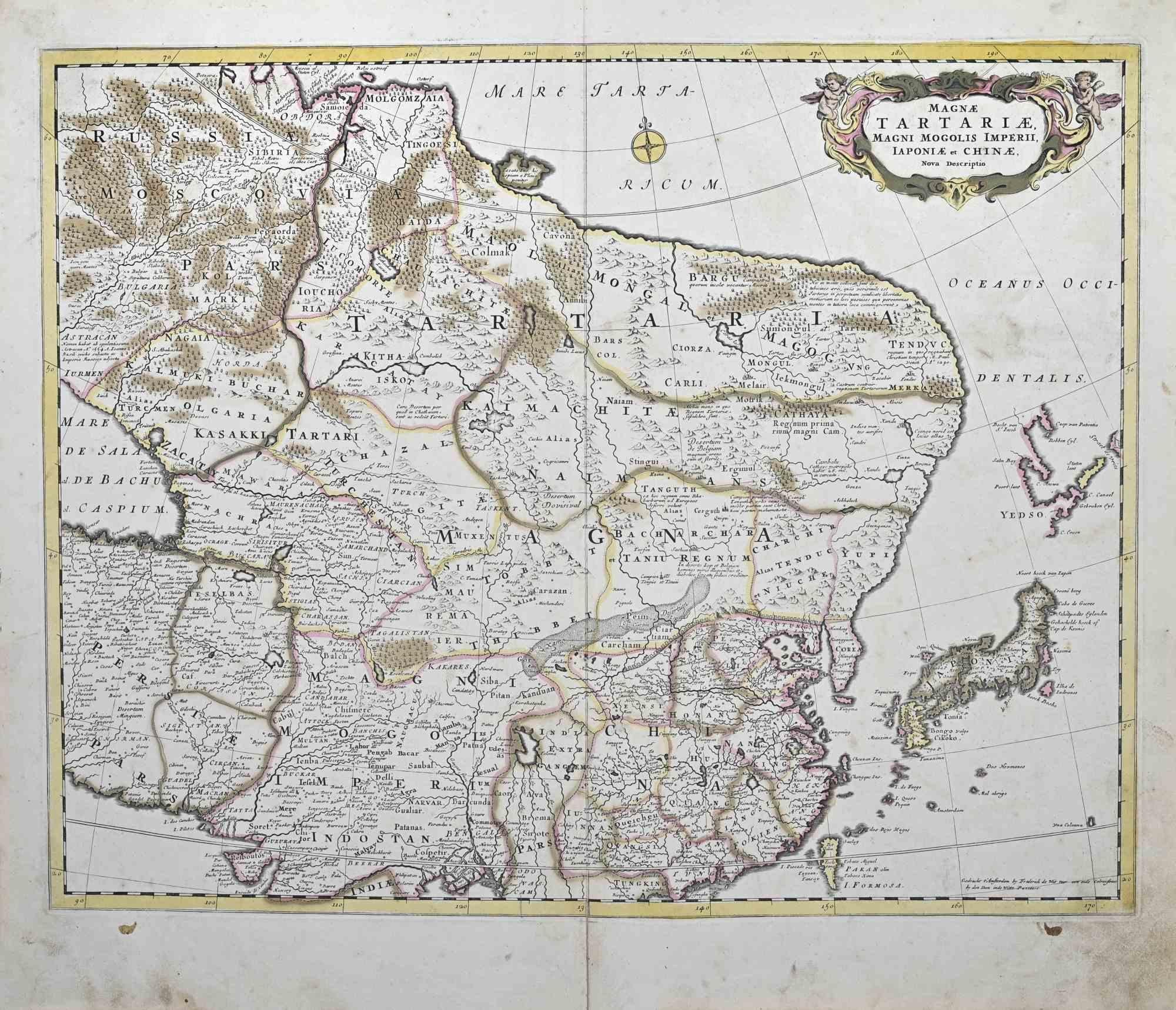
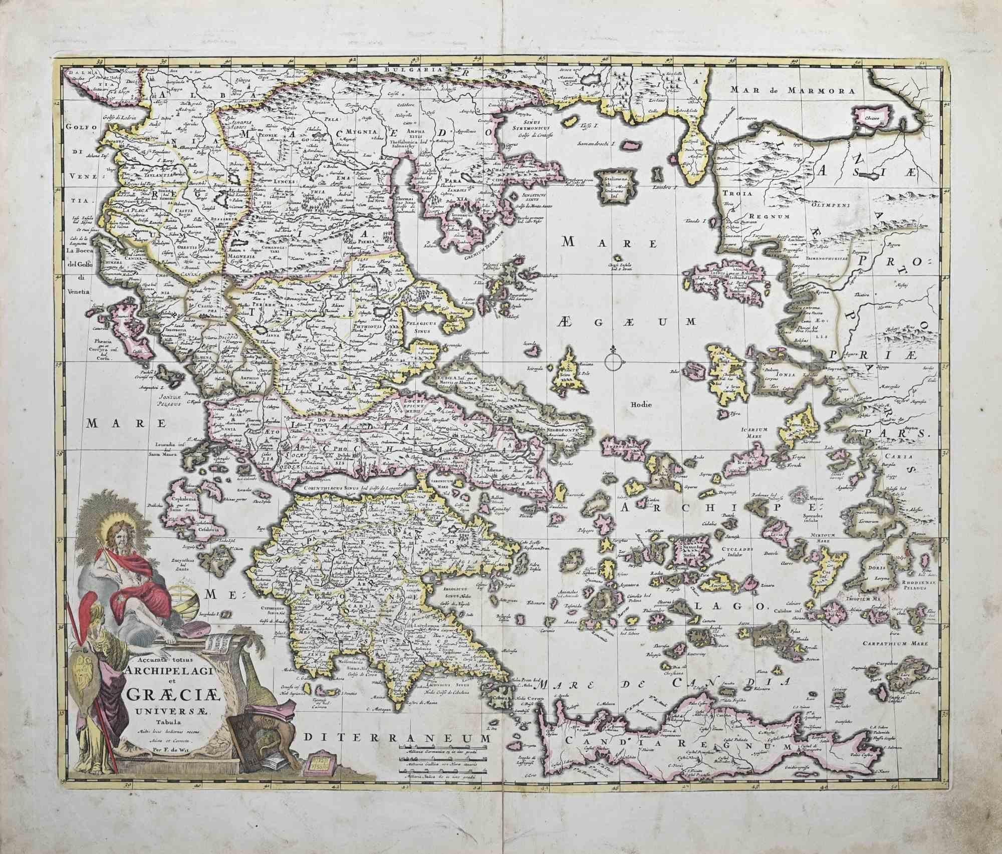
This double-page etching with contemporary coloring, entitled Turcicum Imperium, was realized by the cartographer Frederick de Wit for the famous Atlas published in Amsterdam in ca. 1680. The state of preservation is fair: central fold reinforced in antiquity on the reverse, rips, stains and browning of the paper. Folio, measures ca. cm 51,5x59,8 Inscription on the reverse "Foglio 19 / Turchia" Frederick de Wit was a cartographer and map-seller who was best known for his atlases and his Dutch town maps. His maps were known for their accuracy and detail, and contributed significantly to the documentation and understanding of the lands explored and discovered in the 17th century. His work had a considerable influence on the diffusion of geographical and cartographic knowledge of the time.
  • Creator:
    Frederick de Wit (1630 - 1706, Dutch)
  • Creation Year:
    1680 ca
  • Dimensions:
    Height: 20.28 in (51.5 cm)Width: 23.55 in (59.8 cm)Depth: 0.04 in (1 mm)
  • Medium:
  • Movement & Style:
  • Period:
    1680-1689
  • Framing:
    Framing Options Available
  • Condition:
    Insurance may be requested by customers as additional service, contact us for more information.
  • Gallery Location:
    Roma, IT
  • Reference Number:
    Seller: T-1550431stDibs: LU650316417382

More From This Seller

View All
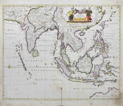
Tabula Indiae Orientalis - Etching by Frederick de Wit - 1680ca

Tabula Indiae Orientalis - Etching by Frederick de Wit - 1680ca

By Frederick de Wit

Located in Roma, IT

This double-page etching with contemporary coloring, entitled Tabula Indiae orientalis, was realized by the cartographer Frederick de Wit for the famous Atlas published in Amsterdam ...

Category

1680s Modern Figurative Prints

Materials

Etching
Regnum Hungariae - Etching by Frederick de Wit - 1680ca

Regnum Hungariae - Etching by Frederick de Wit - 1680ca

By Frederick de Wit

Located in Roma, IT

This double-page etching with contemporary coloring, entitled Regnum Hungariae, was realized by the cartographer Frederick de Wit for the famous Atlas published in Amsterdam in ca. 1...

Category

1680s Modern Figurative Prints

Materials

Etching
You May Also Like

Persiae, Armeniae, Natoliae et Arabiae Descriptio per Frederick deWit 1666 map

Persiae, Armeniae, Natoliae et Arabiae Descriptio per Frederick deWit 1666 map

Located in Paonia, CO

Map of Persiae, Armeniae, Natoliae et Arabiae Descriptio per F de Wit 1688 engraving from: Atlas Contractus Orbis Terrarum Praecipuas ac Novissimas Complectens Tabulas. Amsterdam, N. Visscher, 1656-77. (Koeman III, Vis5-8) This highly decorative map of the Middle East is by the Dutch engraver, publisher, and map seller...

Category

1660s Realist Landscape Prints

Materials

Engraving

Finely Engraved Historical Map of Middle East and Asia, c.1745

Finely Engraved Historical Map of Middle East and Asia, c.1745

Located in Langweer, NL

Description: Antique map titled'Theatrum Historicum pars Orientalis.' Finely engraved historical map with a profusion of details. It shows the Middle East and Asia. Decorative ti...

Category

Antique 1740s Maps

Materials

Paper

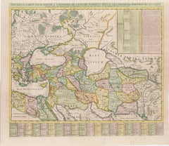
18th-Century Map of the Eastern Roman Empire by Henri Chatelain, c. 1719

18th-Century Map of the Eastern Roman Empire by Henri Chatelain, c. 1719

Located in Langweer, NL

Title: 18th-Century Map of the Eastern Roman Empire by Henri Chatelain, c. 1719 Description: This intricately detailed map, titled *Nouvelle Carte pour Servir à l'Histoire de l'Empi...

Category

Antique 1710s Maps

Materials

Paper

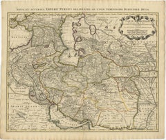
1742 Antique Map of the Persian Empire with Detailed Borders and Cartouche

1742 Antique Map of the Persian Empire with Detailed Borders and Cartouche

Located in Langweer, NL

Title: 1742 Covens & Mortier Map of the Persian Empire by Guillaume De L'Isle This remarkable 1742 map, "Carte de Perse," was originally designed by Guillaume De L'Isle, a preemin...

Category

Antique 1740s Dutch Maps

Materials

Paper

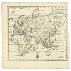
Antique Map of the Eastern Part of the World by Tirion, 1755

Antique Map of the Eastern Part of the World by Tirion, 1755

By Isaak Tirion

Located in Langweer, NL

Antique map titled 'Nieuwe Kaart van het Oostelykste Deel der Weereld, dienende tot Aanwyzing van de Scheepstogten der Nederlanderen naar Oostindië'. Australia (Nieuw Holland) shown ...

Category

Antique Mid-18th Century Dutch Maps

Materials

Paper