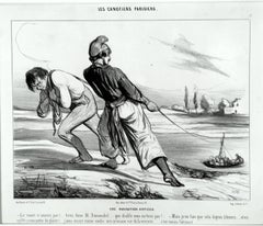
Une Navigation Difficile
By Honoré Daumier
Located in New York, NY
Translation: A DIFFICULT NAVIGATION. – The boat doesn’t move! Pull Dumouchel, pull…. why the devil don’t you pull!
Category
1840s Realist Antique Navigation
Materials
Lithograph
Une Navigation Difficile
By Honoré Daumier
Located in New York, NY
Translation: A DIFFICULT NAVIGATION. – The boat doesn’t move! Pull Dumouchel, pull…. why the devil don’t you pull!
Lithograph
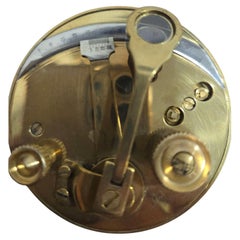
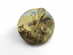
Portable Bronze Sextant for Nautical Navigation
Located in Madrid, ES
Elegant portable bronze sextant used for nautical navigation, finely crafted with precise detailing and compact design.
Bronze
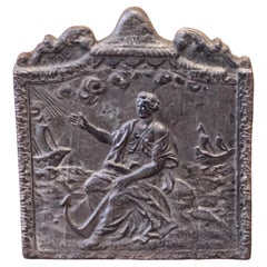
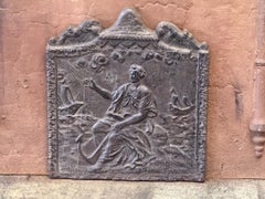
19th Century French Fireback / Backsplash 'Allegory of Navigation'
Located in Amerongen, Amerongen
19th Century French Napoleon III Period fireback with an allegory of Navigation. The fireback is made of cast iron and has a natural brown patina.
Iron
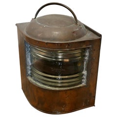
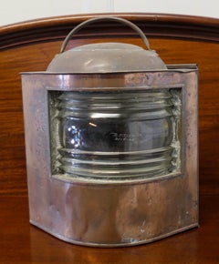
Antique Copper Navigation Light, Industrial Nautical Decor, 1900
Located in Godshill, Isle of Wight
Well Weathered Ships Copper Navigation Light. The lamp is flat sided with original bowed and ridged glass front, this has the date which it was last replaced etched on the front A g...
Copper
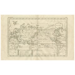
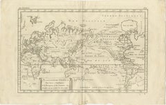
General World Planisphere for Navigation & Trade – Bonne c.1780
Located in Langweer, NL
General World Planisphere for Navigation & Trade – Bonne c.1780 DESCRIPTION This large planisphere presents a unified view of the world designed to support navigation, commerce, and...
Paper
$1,689Sale Price|20% Off
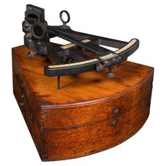
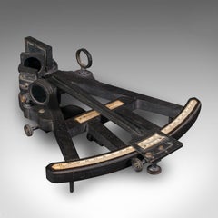
Antique Cased Octant, Scottish, Ebony, Navigation Instrument, Sextant, Victorian
Located in Hele, Devon, GB
A Scottish, ebony navigational instrument, dating to the Victorian period, circa 1850.
Ebony, Walnut
$1,689Sale Price / set|20% Off
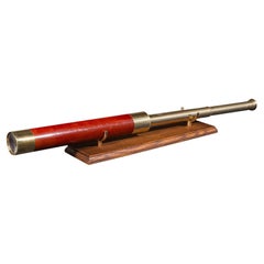
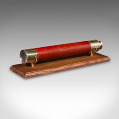
Antique 2 Draw Telescope, English, Brass, Navigational Instrument, Victorian
Located in Hele, Devon, GB
This is an antique 2-draw telescope, an English terrestrial or maritime navigational instrument, dating to the late Victorian period, circa 1900.
Brass
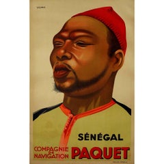
Original poster "Sénégal Compagnie de Navigation Paquet" by Viano - Africa
By Viano
Located in PARIS, FR
The original poster "Sénégal Compagnie de Navigation Paquet" by Viano, created to promote the Compagnie de Navigation Paquet, showcases the artist's ability to capture the essence of...
Linen, Paper, Lithograph
$2,292Sale Price / set|20% Off
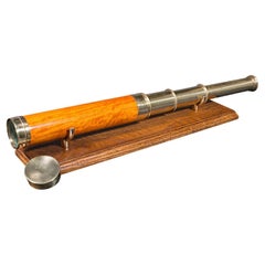
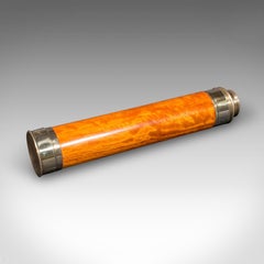
Antique Three-Draw Telescope, English, Walnut, Brass, Navigation, Georgian, 1790
Located in Hele, Devon, GB
An English,walnut and brass navigational or astronomical instrument by Lincoln of London, dating to the Georgian period, circa 1790.
Brass
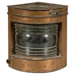
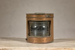
Nautical Tung Woo Starboard Ship Navigation Copper Lantern with Label
Located in Yonkers, NY
A nautical Tung Woo starboard ship navigation copper lantern from the early 20th century with label and glass.
Copper
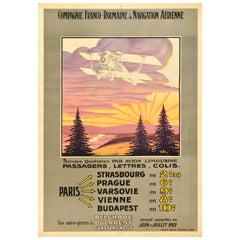
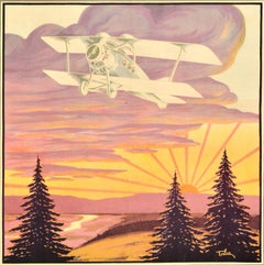
Original Antique Travel Poster Compagnie Franco Roumaine De Navigation Aerienne
Located in London, GB
Original antique travel advertising poster for the Compagnie Franco Roumaine de Navigation Aerienne / French Romanian Company for Air Transport featuring great artwork of a plane fly...
Paper
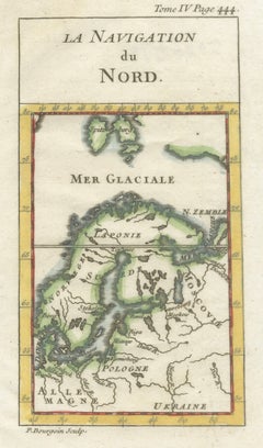

Antique Miniature Map Scandinavia & Baltic Sea, La Navigation du Nord, c.1732
Located in Langweer, NL
Antique Miniature Map of Scandinavia & Baltic Sea, La Navigation du Nord, c.1732 This finely engraved antique map titled “La Navigation du Nord” presents a compact yet informative d...
Paper
$130Sale Price|20% Off
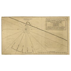
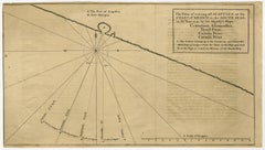
Navigational Chart of Mexico's Coast, with Acapulco and Port Marquis, 1748
Located in Langweer, NL
Antique map titled 'The Form of cruising off Acapulca on the Coast of Mexico in the South Seas in the Year 1742. by His Majesty's Ships, Centurion, Gloucester, Tryall Prize, Carmila ...
Paper
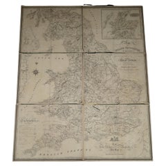
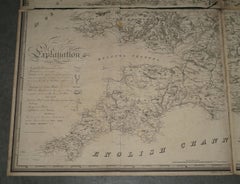
1830 DATED EXTRA LARGE 194CM X 159CM INLAND NAViGATION MAP CANALS AND RAILROADS
Located in West Sussex, Pulborough
Royal House Antiques Royal House Antiques is delighted to offer for sale this Stunning Inland Navigation map of Railroads and Canals by Nichols, Priestley & Walker dated January...
Maple
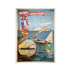
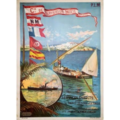
Original poster by Hugo d'Alésia for the Compagnie de Navigation mixte Touache
Located in PARIS, FR
Nice poster by Hugo d'Alésia for the Compagnie de Navigation mixte, the Touche company. The Compagnie de Navigation Mixte is an old French shipping company active from 1850 to 1981,...
Linen, Paper, Lithograph
$979Sale Price|30% Off
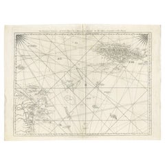
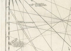
Navigational Chart of Jamaica, Cape Gracias a Dios, and the Mosquito Coast, 1775
Located in Langweer, NL
Conclusion: This map is a detailed navigational chart from the 18th century, providing valuable information about the geography and political landscape of Jamaica, Cape Gracias a Dio...
Paper
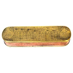
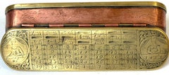
18th Century Dutch Pieter Holm Zee-Meeter Brass & Copper Navigator's Tobacco Box
Located in West Palm Beach, FL
Holm was a Swedish-born sailor and navigator who settled in Amsterdam and established the navigation school Regt door Zee, meaning “straight through the sea.”
Brass, Copper
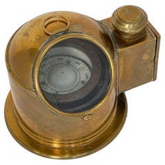
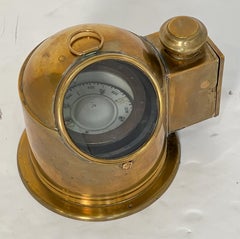
English Ship's Binnacle Compass of Brass with Side Burner Light
Located in Austin, TX
Even with modern electronic navigation, many international ships are still required to carry a standard magnetic compass, often mounted in a binnacle.
Metal, Brass
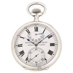
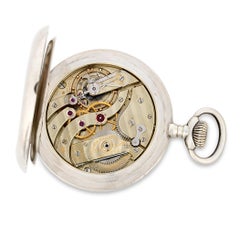
Patek Philippe Silver Deck Chronometer
By Patek Philippe
Located in New Orleans, LA
This particular chronometer's distinguished service continued when it was acquired by the US Government in 1915 for use aboard an airship of the US Navy, where such precision instrum...
Silver
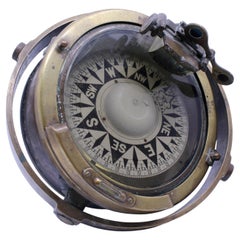
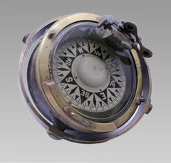
Early 20th Century Bronze and Brass Gimballed Ship's Compass by F. Smith & Sons
Located in Worcester, GB
The mounting retains its original side trunnions, indicating installation within a binnacle or similar navigational housing. The metalwork has acquired an attractive aged patina from...
Bronze
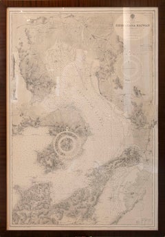
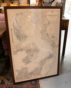
1930s Framed Antique Japanese Nautical Chart Shimabara Kaiwan
Located in Marbella, ES
The chart displays an extraordinary level of topographic and maritime detail, including soundings, coastlines, routes, and navigational references. Presented in an elegant dark wood...
Paper
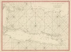
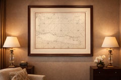
Antique Sea Chart Java Indonesia – Mannevillette Neptune Oriental 1775
Located in Langweer, NL
Mannevillette was one of the most respected navigational cartographers of the eighteenth century.
Paper
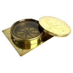
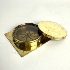
Early 19th Century Swedish Brass Compass with Cover, Marked ZBS
Located in Knivsta, SE
An evocative object that bridges science, navigation, and decorative arts, equally suitable for a collector’s cabinet, library, study, or maritime-inspired interior.
Brass
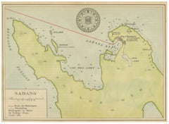
Sabang Bay & Pulau Weh – Antique Dutch Colonial Map of Sumatra, Indonesia, 1910
Located in Langweer, NL
The map is especially desirable for collectors of Indonesian colonial history, Southeast Asian cartography, maritime navigation, and Dutch East Indies material. It also holds strong ...
Paper
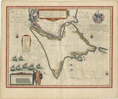
Blaeu Strait of Magellan Map – Tierra del Fuego, Decorative Sea Chart, 1642
Located in Langweer, NL
During the 17th century, this route was essential for navigation between the Atlantic and Pacific Oceans, making it a focal point for European exploration and trade.
Paper
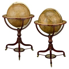
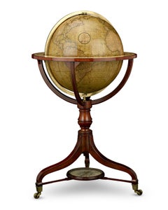
Georgian 21-Inch Terrestrial and Celestial Floor Globes by J. W. Cary
By John & William Cary
Located in New Orleans, LA
These globes served as indispensable tools for navigation, commerce and education, capturing both the known world and the heavens at the dawn of the 19th century.
Brass
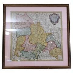
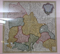
Antique Map of France Bailliages Dauphine Region South East Framed 1751
Located in Wilton, CT
Alongside his father, Gilles, he produced the Atlas Universel (1757) and was a royal censor for geography and navigation works. Interesting 18th century map with great graphics.
Paper
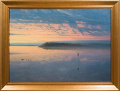

Sunset over Calm Waters with Waterbirds, c. 1895–1905
Located in Stockholm, SE
Slightly to the right, a solitary navigation marker rises from the water. More than simply a practical object, it functions as the visual anchor of the composition, establishing pers...
Canvas, Oil
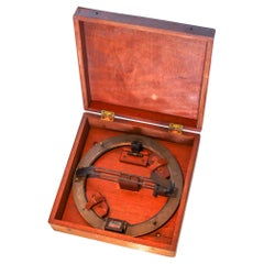
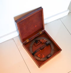
AZIMUTH Circle E.S. Ritchie & Sons US Navy Maritime Compass Bronze & Wood Box
By E.S. Ritchie & Co
Located in Miami, FL
Navy supplier and a leader in navigation technology, still operating today under the name Ritchie Navigation in Pembroke, MA.
Brass, Bronze
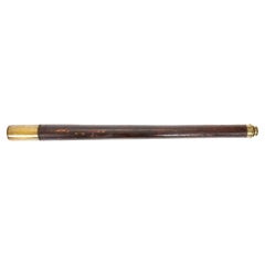
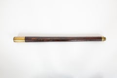
Eyes on the Horizon: A 19th-Century Captain’s Spyglass by Dollond
Located in New York, NY
The brass barrel is engraved “Dollond London,” confirming its association with the firm founded by John Dollond, celebrated for advancements in achromatic lenses that revolutionized ...
Brass
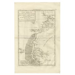
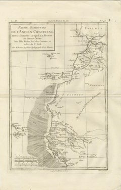
Antique Map West Africa Morocco Canary Islands Lisbon Sierra Leone Bonne, c1780
Located in Langweer, NL
The shaded ocean area suggests navigational zones or areas of maritime interest, reinforcing the map’s hydrographic purpose.
Paper
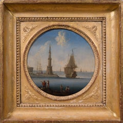
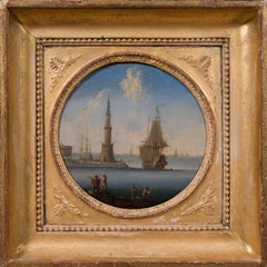
Mediterranean Harbour with Lighthouse and Shipping
Located in Stockholm, SE
Such compositions became increasingly popular among collectors, celebrating commerce, navigation and the prosperity of the great ports of Southern Europe.
Oil, Wood Panel
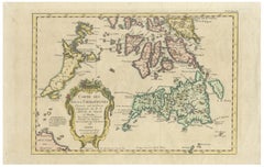
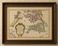
Carte des Isles Philippines – Antique Map of the Philippines, 1752
Located in Langweer, NL
Fine coastal detailing, navigational notations, and engraved place names reveal the growing European interest in the strategic and commercial importance of the archipelago during the...
Paper
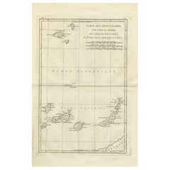
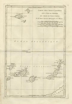
Canary Islands & Madeira Map – Atlantic Archipelagos c.1780
Located in Langweer, NL
KEYWORDS Canary Islands map, Madeira Porto Santo, Atlantic navigation, transatlantic routes, island cartography CONDITION REPORT Light age toning.
Paper
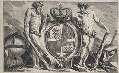
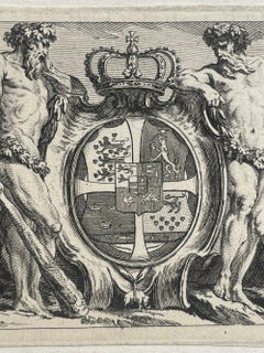
Royal Coat of Arms of Denmark with Order of the Elephant, 17th century engraving
Located in Firenze, IT
Baroque composition with allegorical figures and attributes of power and navigation, typical of official publications of the late 17th century.
Paper, Engraving
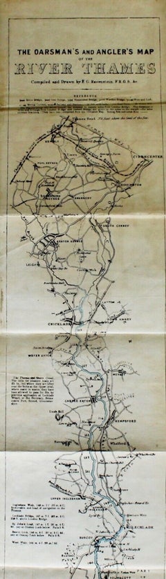
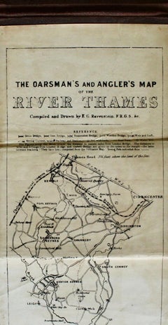
The Oarsman's and Angler's Map of the River Thames, Published by C. Smith & Son
Located in Colorado Springs, CO
The map starts at the Thames Head, in Cirencester, and ends at the London Bridge, in London. It includes navigation notes for rowers and specific locations for catching trout, ...
Fabric, Linen, Paper
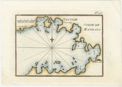
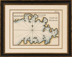
Golfe de Mandaya Sea Chart by Joseph Roux, Ottoman Turkey, c.1764
Located in Langweer, NL
Depth soundings, anchorage indications, and coastal notations provide navigational detail for mariners navigating the eastern Mediterranean during the Ottoman period.
Paper
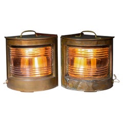
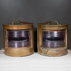
Antique English Copper and Brass Ship Lanterns-Pair
Located in San Francisco, CA
ABOUT A pair of beautifully patinated, molded copper antique nautical ship lanterns, specifically designed as navigation lights. These types of lanterns were historically essentia...
Brass, Copper
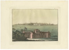
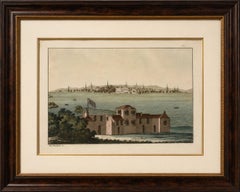
Boston Harbor View from Castle William, Hand-Colored Aquatint by Fumagalli, 1827
Located in Langweer, NL
The calm waters are animated by small vessels, emphasizing the city's long-standing relationship with maritime trade and navigation. Giulio Ferrario's ambitious publication sought t...
Paper
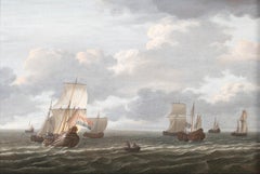
$19,804
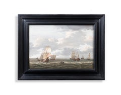
The Herring Fleet
Located in Stoke, Hampshire
Born in Amsterdam in 1674, Silo initially pursued a career connected with navigation and maritime service before turning fully to painting.
Oil
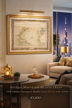

Antique Map of the Atlantic Ocean by Desnos with Ornate Border, 1761
Located in Langweer, NL
These navigational elements, combined with carefully engraved coastlines and place names, highlight the practical function of the map while also contributing to its strong visual rhy...
Paper
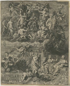
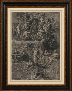
Allegory on the Reign of Habsburg Emperor Charles VI, Holy Roman Emperor, c.1720
Located in Langweer, NL
Particularly fascinating are the numerous details revealed upon close examination: cherubs carrying imperial regalia, military encampments, heraldic banners, symbols of trade and nav...
Paper
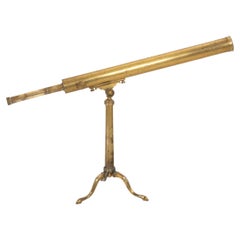
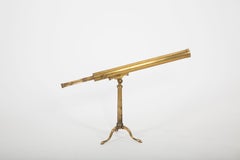
19th-Century French Maritime Telescope by Biette à Lyon
Located in New York, NY
Originally intended for navigation, coastal surveying, and long-distance observation aboard ship, the telescope remains an evocative object of maritime history.
Brass
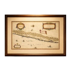
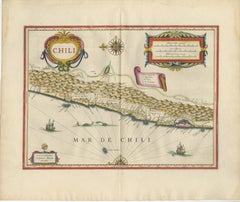
Antique Chile Map Blaeu c.1642 – Dramatic Andes & Pacific Panorama
Located in Langweer, NL
The Pacific Ocean is animated with sailing ships and navigational lines, emphasizing the maritime importance of the region during the age of exploration and global trade.
Paper
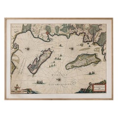
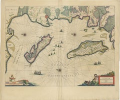
Blaeu Map of Île de Ré & Oléron, La Rochelle Coast France, c.1642
Located in Langweer, NL
Blaeu’s coastal maps are especially prized for their combination of navigational detail and decorative elegance. This example, focusing on one of France’s most historically significa...
Paper
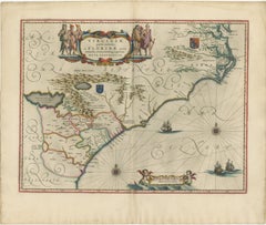
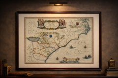
Blaeu Virginia and Florida Map – Decorative Early America Chart, 1642
Located in Langweer, NL
The coastline is crisply delineated, reflecting European navigation and colonial interest in the region, while inland areas are rendered with pictorial mountain ranges, rivers, and s...
Paper
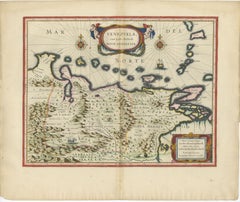
Blaeu Venezuela Map – Decorative Caribbean & Nueva Andalusia Chart 1642
Located in Langweer, NL
Two finely engraved compass roses radiate across the sea, intersected by rhumb lines that create a sense of movement and navigation. A sailing vessel animates the waters, reinforcing...
Paper
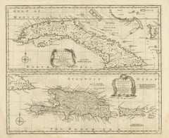
Antique Map of Cuba & Hispaniola, Caribbean Sea Chart by Bowen, 1744
Located in Langweer, NL
Coastal towns, anchorages, banks, shoals, and maritime passages are carefully identified, illustrating the navigational focus of the chart. The lower section centers on Hispaniola an...
Paper
Important Blaeu Caribbean Map, West Indies, Decorative Atlas Chart, c.1642
Located in Langweer, NL
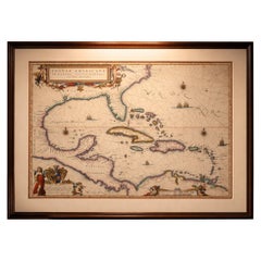
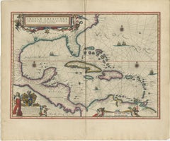
The surrounding seas are richly structured with rhumb lines, compass roses, and sailing vessels, emphasizing the region’s central role in early transatlantic navigation and trade. B...
Paper
Antique Map of New Brunswick, Nova Scotia, Prince Edward Island and Canada East
Located in Langweer, NL
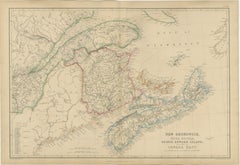
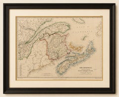
Numerous harbors, fishing settlements, and navigational landmarks reflect the importance of maritime trade, shipbuilding, fishing, and transatlantic commerce to the region's economy.
Paper
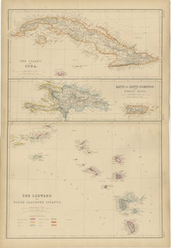
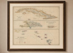
Antique Map of Cuba, Hispaniola, Puerto Rico and the Leeward Islands, 1860
Located in Langweer, NL
The map reflects this importance through its careful depiction of ports, anchorages, settlements, and navigational landmarks. Original hand coloring highlights the colonial division...
Paper
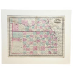
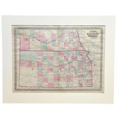
1870 "Johnson's Kansas and Nebraska" Antique Map Published by A. J. Johnson
Located in Colorado Springs, CO
Guyot further demonstrates that period’s growing interest in scientific inquiry, making the atlas a valuable resource not just for navigation and geography, but also for understandin...
Paper
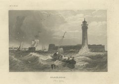
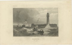
Black Rock New York Harbor Lighthouse – Antique Steel Engraving c.1850
Located in Langweer, NL
The composition shows the powerful meeting of water, wind, and navigation along the shores of Lake Erie and the Niagara River.
Paper
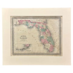
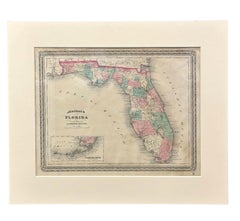
1870 "Johnson's Florida" Antique Map Published by A. J. Johnson
Located in Colorado Springs, CO
Guyot further demonstrates that period’s growing interest in scientific inquiry, making the atlas a valuable resource not just for navigation and geography, but also for understandin...
Paper
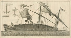
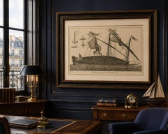
La Réale French Royal Galley, Large Naval Engraving, c.1769
Located in Langweer, NL
The image was drawn by Jacques Nicolas Bellin, one of the most important hydrographers of the 18th century, whose work shaped European understanding of naval architecture and global ...
Paper
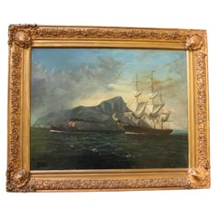
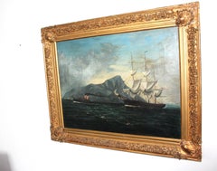
20th Century Marine Oil Painting of Ships off the Coast of Gibraltar
Located in Seaford, GB
The composition captures a moment of transition in seafaring history, where traditional sail navigation intersects with the growing dominance of steam assistance.
Canvas
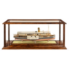
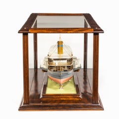
Builder’s Model of the Brazilian Passenger Paddle Steamer Caxias
Located in Lymington, Hampshire
A builder’s model of the Brazilian passenger paddle steamer Caxias built by Hepple, South Shields, 1912, with a 24in. laminated and carved hull finished in pink below the waterline w...
Laminate, Wood, Mahogany
Unavailable
H 6 in W 12.75 in D 9 in
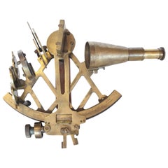
Plath Hamburg Brass Sextant Maritime Navigational Instrument, circa 1900s
Located in Chicago, IL
1900s German brass sextant maritime navigational instrument by C. Plath.
Brass
Unavailable
H 41.74 in W 29.14 in
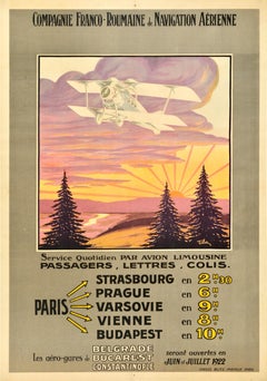
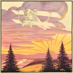
Original Antique Travel Poster Compagnie Franco Roumaine De Navigation Aerienne
Located in London, GB
Original antique travel advertising poster for the Compagnie Franco Roumaine de Navigation Aerienne / French Romanian Company for Air Transport featuring great artwork of a plane fly...
Paper
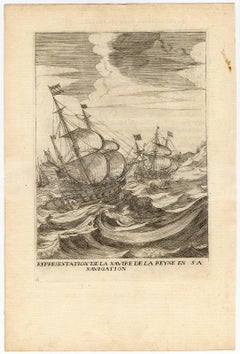
Representation de la Navire de la Reyne en sa navigation.
Located in Zeeland, Noord-Brabant
Representation of the ship of the Queen navigating an unruly sea. Etching on hand laid paper from De la Serre's 'Histoire de l'entree de la Reyne Mere du Roy tres Chrestien dans les ...
Etching
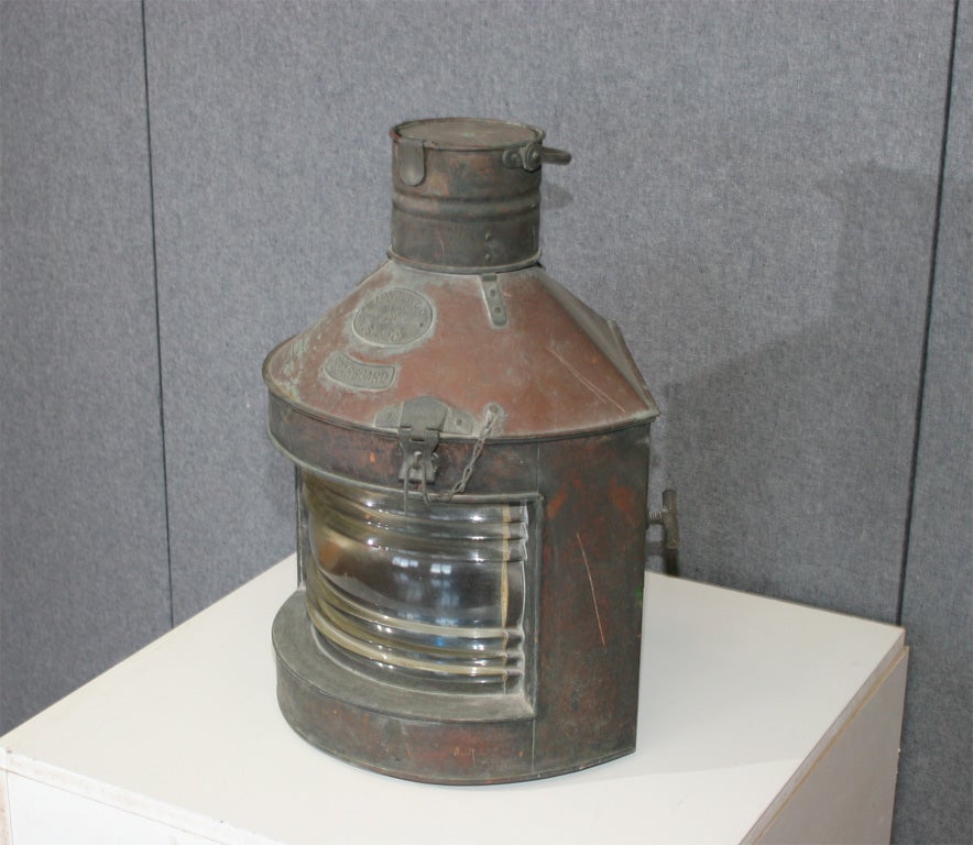
rare Hong Kong Made pair of junk boat navigation lights
Located in Brooklyn, NY
Rare pair of entirely hand made copper lanterns for "junk" boats in Hong Kong harbor.
priced per pair
Unavailable
H 12.41 in W 14.97 in
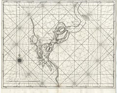
Navigational chart of the river Suratte by Valentijn - Engraving - 18th Century
Located in Zeeland, Noord-Brabant
.' - This scarce original antique navigational chart shows the Suratte River. Suratte or Soeratte was a famous trading city on the north coast of what is now India, in the modern sta...
Engraving
Unavailable
H 23.63 in Dm 13 in
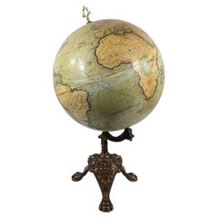
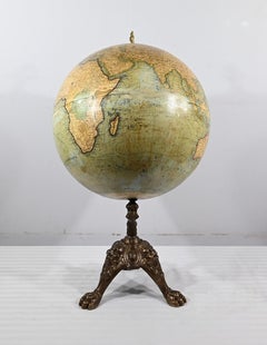
Terrestrial Globe in Lithographed Paper and Cast Iron, J.Lebègue & Cie – Late 19
By J. Lebegue & Cie
Located in HÉRIC, FR
The sphere is covered with lithographed paper showing a detailed world map with 'International Railways', 'Telegraph Lines', 'Steam Navigation Lines', and 'Submarine Cables'. A beaut...
Iron

Unavailable
H 36.23 in W 3.15 in D 2.37 in
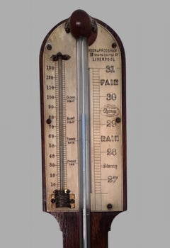
A 19th Century Mahogany Stick Barometer by Keen and Frodsham
Located in Pewsey, GB
"Keen and Frodsham" refers to a partnership between renowned clockmaker Henry Frodsham and Robert John Keen, based in Liverpool, England, who primarily produced high-quality marine c...
Glass
Unavailable
H 39.77 in W 25.2 in
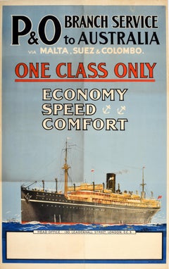
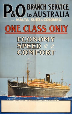
Original Antique Cruise Travel Poster P&O Australia Economy Speed Comfort
Located in London, GB
Original antique cruise travel advertising poster for P&O Branch Service to Australia via Malta Suez and Colombo One Class Only Economy Speed Comfort featuring a great design by Stan...
Paper
Unavailable
H 39.77 in W 24.81 in
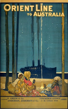
Original Antique Poster Orient Line To Australia Ocean Liner Cruise Travel Art
By Elijah Albert Cox
Located in London, GB
Founded in 1797 and serving routes around the world the Orient Steam Navigation Company (known as Orient Line) was a British shipping company that merged to form P&O-Orient Lines in ...
Paper
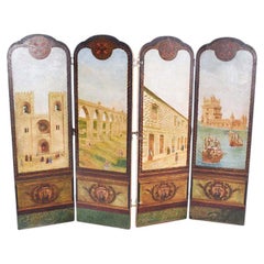
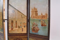
Portuguese Hand Painted Dressing Screen
Located in Lisboa, Lisboa
On the reverse side, the screen honors Portugal's Age of Discovery with maritime motifs, including majestic caravels sailing the ocean, the cross of the Order of Christ that adorned ...
Wood
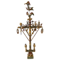
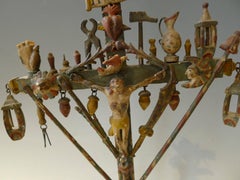
Bargeman's Cross to the Angel Musician, circa 1830
Located in Paris, FR
The cross, with main instruments of the Passion, is dominated by an angel sharp of the trumpet Religious crosses, raisedto the bow of boats and which have authority to protect the c...
Wood
Unavailable
H 16 in W 28 in D 1 in
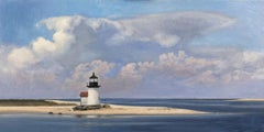
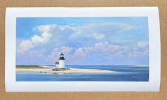
Nantucket, Brant Point Lighthouse (Limited edition giclée print)
Located in Kennett Square, PA
This little shingled light is protected from the worst of storms but has been a critical aid to navigation. Before GPS, the approach and entrance to Nantucket harbor had among the hi...
Archival Pigment
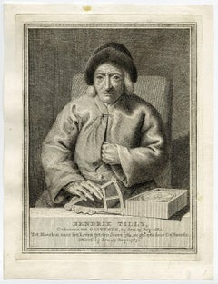
Hendrik Tilly.
By Cornelis van Noorde
Located in Zeeland, Noord-Brabant
Portrait of the 105 year old Hendrik Tilly holding a compass and navigational instrument. Etching on hand laid paper.
Etching
![Cochin Rex elephante vextus [...].](https://a.1stdibscdn.com/archivesE/upload/a_5923/1518095382092/ab8109_master.jpg?width=240)
Cochin Rex elephante vextus [...].
By Jan Huygen van Linschoten
Located in Zeeland, Noord-Brabant
': 'Histoire de la Navigation de Jean Hughes de Linschot aux Indes Orientales. […]', by H. v.
Engraving
![Virginis Lusitane in India […].](https://a.1stdibscdn.com/archivesE/upload/a_5923/1518094186350/ab8097_master.jpg?width=240)
Virginis Lusitane in India […].
By Jan Huygen van Linschoten
Located in Zeeland, Noord-Brabant
': 'Histoire de la Navigation de Jean Hughes de Linschot aux Indes Orientales. […]', by H. v.
Engraving
![Indorum casae, villae, et vici circa Goam [...].](https://a.1stdibscdn.com/archivesE/upload/a_5923/1518093364360/ab8092_master.jpg?width=240)
Unavailable
H 11.93 in W 13.98 in
Indorum casae, villae, et vici circa Goam [...].
By Jan Huygen van Linschoten
Located in Zeeland, Noord-Brabant
': 'Histoire de la Navigation de Jean Hughes de Linschot aux Indes Orientales. […]', by H. v.
Engraving
![Naves celoces seu biremes […].](https://a.1stdibscdn.com/archivesE/upload/a_5923/1518093923930/ab8096_master.jpg?width=240)
Naves celoces seu biremes […].
By Jan Huygen van Linschoten
Located in Zeeland, Noord-Brabant
': 'Histoire de la Navigation de Jean Hughes de Linschot aux Indes Orientales. […]', by H. v.
Engraving
![Left: Naute Arabes [...] - Arabischer scheepluyden [...].](https://a.1stdibscdn.com/archivesE/upload/a_5923/1518095118073/ab8107_master.jpg?width=240)
Unavailable
H 11.93 in W 13.98 in
Left: Naute Arabes [...] - Arabischer scheepluyden [...].
By Jan Huygen van Linschoten
Located in Zeeland, Noord-Brabant
': 'Histoire de la Navigation de Jean Hughes de Linschot aux Indes Orientales. […]', by H. v.
Engraving
Unavailable
H 25.79 in W 38.98 in
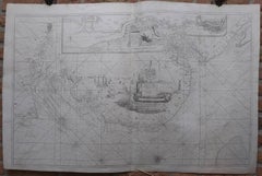
The River of Thames from London to the Buoy of the Noure.
Located in Zeeland, Noord-Brabant
Collins, who was made Hydrographer to King Charles II in 1679, was sponsored by Trinity House, the corporation in charge of Britain's lighthouses, buoys and other navigational aids.
Engraving

Unavailable
H 43.31 in W 27.56 in
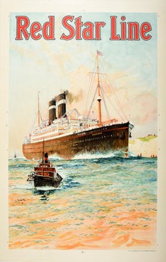
Original Vintage Travel Poster Red Star Line Pennland Ocean Liner Cruise Ship
By Charles Edward Dixon 1
Located in London, GB
Launched in 1920 as the Pittsburgh for the International Navigation Company, the transatlantic ocean liner was renamed Pennland by Red Star Line in 1926; she was converted into a tro...
Paper
![Horrendae Idolorum effigies [...].](https://a.1stdibscdn.com/archivesE/upload/a_5923/1518095637965/ab8112_master.jpg?width=240)
Horrendae Idolorum effigies [...].
By Jan Huygen van Linschoten
Located in Zeeland, Noord-Brabant
': 'Histoire de la Navigation de Jean Hughes de Linschot aux Indes Orientales. […]', by H. v.
Engraving
![Scaphe piscatorie Goensium et Cochinensium [...].](https://a.1stdibscdn.com/archivesE/upload/a_5923/1518094660171/ab8106_master.jpg?width=240)
Unavailable
H 11.93 in W 13.98 in
Scaphe piscatorie Goensium et Cochinensium [...].
By Jan Huygen van Linschoten
Located in Zeeland, Noord-Brabant
': 'Histoire de la Navigation de Jean Hughes de Linschot aux Indes Orientales. […]', by H. v.
Engraving
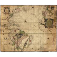
Extremely Rare 1695 Hand-Colored Map on Vellum
By Willem Blaeu
Located in La Jolla, CA
Clearly the intention was to print the chart on more durable vellum rather than paper, again supporting the notion that its primary use would have been for navigation aboard ship.
Paper
![Harwich Woodbridg and Handfordwater with the Sands from the Nazeland [...].](https://a.1stdibscdn.com/archivesE/upload/a_5923/1508759714837/IMG_0315_2_master.jpg?width=240)
![Harwich Woodbridg and Handfordwater with the Sands from the Nazeland [...].](https://a.1stdibscdn.com/archivesE/upload/a_5923/a_22396231508759719779/IMG_0316_a_master.jpg?width=240)
Unavailable
H 19.57 in W 23.63 in
Harwich Woodbridg and Handfordwater with the Sands from the Nazeland [...].
By Herman Moll
Located in Zeeland, Noord-Brabant
Collins, who was made Hydrographer to King Charles II in 1679, was sponsored by Trinity House, the corporation in charge of Britain's lighthouses, buoys and other navigational aids.
Engraving
Unavailable
W 2.76 in L 7.09 in
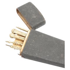
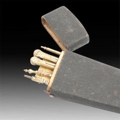
Shagreen Etui by W & S Jones Opticians with Scientific Instruments Circa, 1800
Located in London, GB
It was this company that introduced the idea of a pocket sextant for navigation and mechanical miniaturization. They are rumored to have outfitted Thomas Jefferson himself with a set...
Unavailable
H 41 in W 60 in
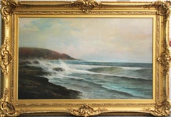
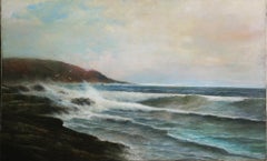
Warren W. Sheppard, Breakers Along the Rocky Shore, Nantasket Beach, MA, ca 1885
By Warren W. Sheppard
Located in Doylestown, PA
He won the famous New York-to-Bermuda race and published an authoritative book titled "Practical Navigation." He was also known for his canal scenes of Venice.
Canvas, Oil
Unavailable
H 13.39 in W 16.34 in
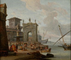
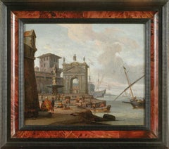
Mediterranean Capriccio, Oil on canvas by Abraham Storck, circa 1680
By Abraham Jansz Storck
Located in Paris, FR
His repertoire is varied: views of ports, battleships, Imaginary Mediterranean ports and scenes of navigation. He painted many Italien views although he did not get to know this coun...
Canvas
![Partridge Hawking - A group of hunters on foot and horseback, hunting [...].](https://a.1stdibscdn.com/archivesE/upload/a_5923/1512129781029/latpc119_master.jpg?width=240)
Unavailable
H 16.15 in W 10.12 in
Partridge Hawking - A group of hunters on foot and horseback, hunting [...].
By Francis Barlow
Located in Zeeland, Noord-Brabant
The first part of this work deals with all manner of arts and sciences including navigation; the second with horsemanship, hunting, hawking, fishing, agriculture etc.
Engraving, Etching
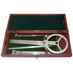
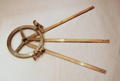
Cased Station Pointer
Located in Salisbury, GB
A lovely piece of maritime navigational equipment and in superb order, circa 1880.
Unavailable
H 12.41 in W 15.04 in
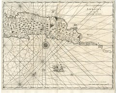
Ambon, Maluku Islands and Boero by Valentijn - Engraving - 18th Century
Located in Zeeland, Noord-Brabant
.' - Scarce set of 2 original fitting antique maps/navigational charts of the island of Ambon, Maluku Islands and Boero, Indonesia.
Engraving
![Nouvelle Carte pour Conduire a la Connoissance de la Marine [...].](https://a.1stdibscdn.com/archivesE/upload/a_5923/1504613785940/ab4698_master.jpg?width=240)
Unavailable
H 21.46 in W 24.22 in
Nouvelle Carte pour Conduire a la Connoissance de la Marine [...].
By Henri-Abraham Chatelain
Located in Zeeland, Noord-Brabant
This plate shows various types of sailing ships and navigational instruments. It also explains certain shapes and details of maps.
Engraving, Etching
Unavailable
H 91 in W 144 in D 1 in
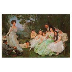
John Henry Frederick Bacon, A.R.A. Life-size English Family Portrait
Located in New York, US
In 1892 he was appointed General Manager and Managing Director of North's Navigation Collieries Ltd. The family moved to Tondu House, and Julietta proceeded to bring considerable Sp...
Canvas
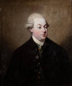
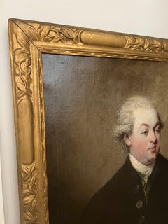
Portrait of a Gentleman
Located in London, GB
The family moved from England to Dublin when Peters was young, where his father "advised on the improvement of loughs and rivers for navigation" and published two treatises on the su...
Canvas, Oil
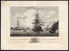
De Haven van Amsterdam
By Matthias de Sallieth
Located in Zeeland, Noord-Brabant
(Translation: Atlas of the ports of the Batavian / Dutch Republic, of Batavia / Djakarta, Onrust, including images of the herring fishery and whaling in a total of 31 art plates ... ...
Engraving, Etching
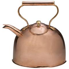

English Copper Barge Kettle Unique Design, 20th Century
Located in Woodbridge, CT
He decided in 1759 to build a short canal to link his coal mines at Worsley with the River Irwell, a navigation which led to Manchester, to help fuel the increasing appetite for coal...
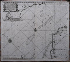
A New Gradually Encreasing Compass-Map.
Located in Zeeland, Noord-Brabant
More ambitious and with a far longer and more complicated life was his book of sea charts, the Zee-Fakkel, published in 1681-82 Although the firm was founded by Johannes van Keulen, ...
Engraving
Unavailable
H 18.12 in W 21.66 in D 1.97 in
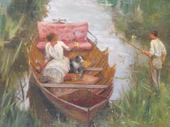
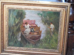
antique victorian oil painting of a summer river boating scene by E.J. Gregory
By Edward John Gregory
Located in Hailsham, GB
Cruikshank's private school at fifteen he entered the drawing-office, in his native town, of the Peninsular and Oriental Steam Navigation Company, in whose employ his father sailed.
Oil
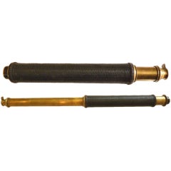
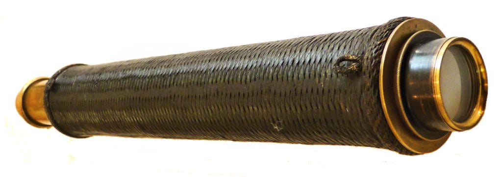
Unique Front Focus Marine Telescope Ca 1790 Exceptional
Located in Palm City, FL
After an extensive inquiry of dealers in scientific instruments and with the chief curators of navigation instruments at museums in the United States and England, a single example of...
Brass, Metal
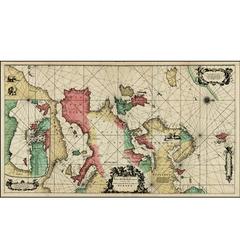
Rare 1710 Hand-Colored Map of Europe
By Frederick de Wit
Located in La Jolla, CA
Winged putti holding navigational instruments surround the title cartouche.
Paper

Unavailable
H 24.41 in W 21.07 in D 3.15 in
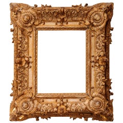
Exceptional Royal Quality French Regence Frame, Mirror, France, 1720s
By Juste-Aurèle Meissonnier
Located in Saint-Ouen, FR
In December 1713, he was appointed as one of the commissaries to treat with the French concerning the Treaty of Navigation and Commerce concluded at Utrecht. In April 1714 he was sen...
Giltwood


Landscape
Located in Los Angeles, CA
In these same years, Keith was employed for a time by the Northern Pacific Railroad and the Oregon Navigation & RR Company, hired to paint scenes along their routes.
Oil
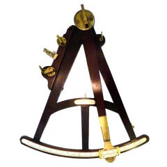
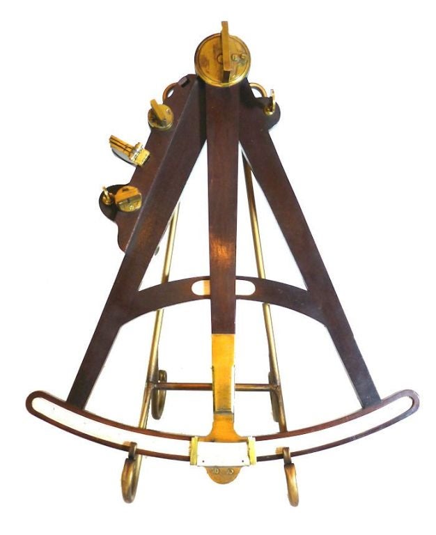
Rare Giant Nautical Antique Ships Octant Gold Gilt Fixtures
Located in Palm City, FL
Morzer Bruyns which catalogs the collection of antique navigation instruments at England's National Maritime Museum.
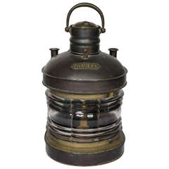

Large Copper Navigation Light
Located in Henley-on Thames, Oxfordshire
Good quality large oil fired navigation light marked "Trawler" retaining its original oil burner, includes a hand made steel bracket for wall mounting.
Copper
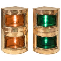
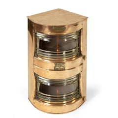
Pair of Ship’s Navigation Lights
Located in Lymington, Hampshire
A pair of ship’s navigation lights, each copper light with double height prism glass; one green for starboard, the other red for port, stamped ‘Seahorse G.B.
Copper
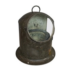
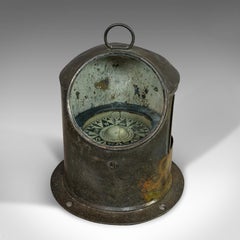
Sold
H 10.24 in W 8.47 in D 8.47 in
Vintage Binnacle Compass, English, Brass, Maritime, Navigation, Instrument
Located in Hele, Devon, GB
An English, brass maritime navigation instrument, dating to the early 20th century, circa 1930.
Brass
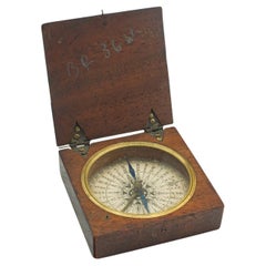
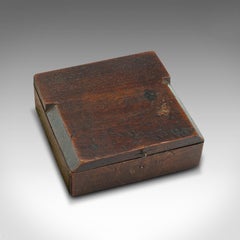
Sold
H 0.99 in W 2.56 in D 2.56 in
Antique Pocket Explorer's Compass, English, Navigation Instrument, Victorian
Located in Hele, Devon, GB
This is an antique pocket explorer's compass. An English, mahogany cased instrument, dating to the Victorian period, circa 1880. Wonderful pocket compass with charming details Di...
Wood
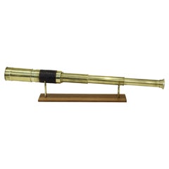

19th Century Brass Telescope Antique Marine Navigation Instrument
Located in Milan, IT
Brass telescope with round section, with three extensions focusing and handle covered in leather, complete with sunshade extension, cap and dust flap. Maximum length 47.5 cm-inches...
Brass

Sold
H 21.07 in W 18.9 in D 0.79 in
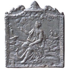
19th Century French Napoleon III 'Allegory of Navigation' Fireback
Located in Amerongen, Amerongen
19th century French Napoleon III fireback with an allegory of Navigation. The fireback is made of cast iron and has a black / pewter patina.
Iron
Sold
H 5.1 in W 9.8 in D 10.8 in
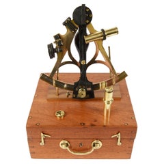
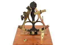
1870s Brass Sextant Signed Ainsley Antique Marine Navigation Instrument
Located in Milan, IT
Brass sextant signed Ainsley South Shields (1858-1886) complete with original wood case and lenses. Silver vernier, wood handle, 3 colored glasses for the fixed mirror and 4 for th...
Brass
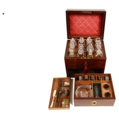
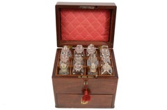
19th Century English Apothecary Cabinet Antique Set Marine Navigation
Located in Milan, IT
English apothecary cabinet dated to the first half of the nineteenth century, with mahogany case, brass handle and brass hinges, complete with key. The cabinet has a rectangular ba...
Wood
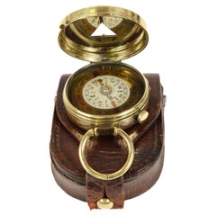
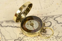
1917s Brass Nautical Pocket Compass Antique Marine Navigation Instrument
Located in Milan, IT
Brass nautical travel compass complete with leather case signed Barnes & Morris London n.13844 from 1917. It is a small compass used away from magnetic fields to check the ship's c...
Brass
Sold
H 5.5 in W 11.7 in D 11.7 in
1890s Brass Sextant Georg Hechelmann Hamburg Antique Navigation Instrument
Located in Milan, IT
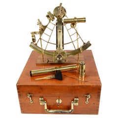
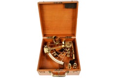
Brass sextant signed Georg Hechelmann Nachf Hamburg from the late 19th century, original wooden box with locking hooks, handles, brass hinges and key set. Flap and vernier in silver,...
Brass
Sold
H 0.78 in Dm 2 in
1920s Brass Nautical Magnetic PocketCompass Antique Marine Navigation Instrument
Located in Milan, IT
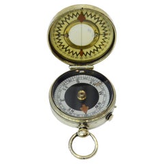
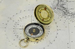
Brass survey compass made in 1920 circa, signed The Magnapole; small compass used away from magnetic fields to check the ship’s course. The compass is complete with a goniometric cir...
Brass

Sold
H 25.99 in W 25.6 in D 0.79 in
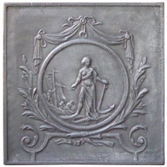
Antique French Fireback with an Allegory of Navigation, 19th Century
Located in Amerongen, Amerongen
The decoration shows an allegory of Navigation. The Napoleon III period fireback is made of cast iron and has a natural brown patina.
Iron

Sold
H 38 in W 24.5 in
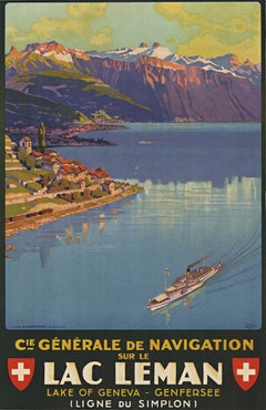
Navigation sur le Lac Léman original Swiss vintage lithograph poster
Located in Spokane, WA
Original poster: Cie Générale de Navigation sur le Lac Léman. Original, linen-backed, stone lithography, Navigation sur le Lac Léman a.k.a Lac Leman aka Lake Geneva.
Lithograph
Sold
H 0.79 in W 10.83 in D 10.83 in
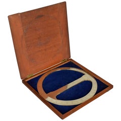
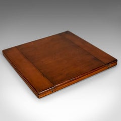
Cased Antique Protractor 360 Degree Scientific Instrument Navigation, circa 1900
Located in Hele, Devon, GB
This is a mahogany cased antique protractor, a 360 degree scientific instrument possibly for surveying or navigational purposes. A super cased instrument ideal for use or presenta...
Metal
Sold
H 1.25 in Dm 2.1 in
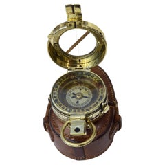
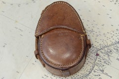
1918s Barke's Magnetic Nautical Pocket Compass Antique Marine Navigation Device
Located in Milan, IT
Pocket liquid bearing compass signed F. Barker’s Patent 1918, used by British army officers during the first world war. On the back of the compass it reads: The Soltima Inst. Co 19...
Brass