Want more images or videos?
Request additional images or videos from the seller
1 of 13

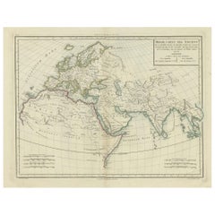
Antique Ancient World Map – Orbis Veteribus Notus, Engraving c.1818

$1,599.38
£1,183.24
€1,350VAT Included
CA$2,213.63
A$2,221.37
CHF 1,295.53
MX$27,009.13
NOK 14,886.91
SEK 15,310.43
DKK 10,293.80

About the Item

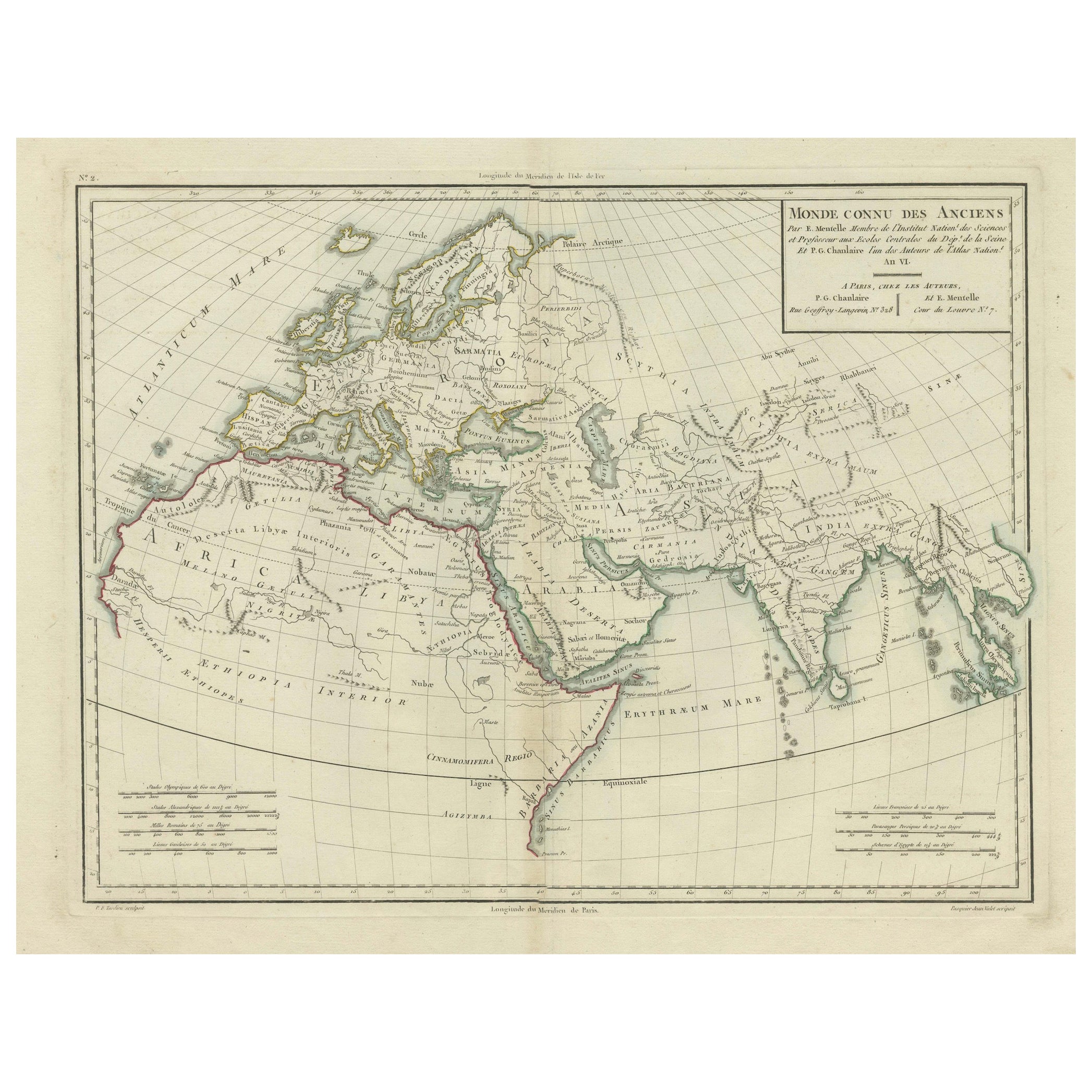
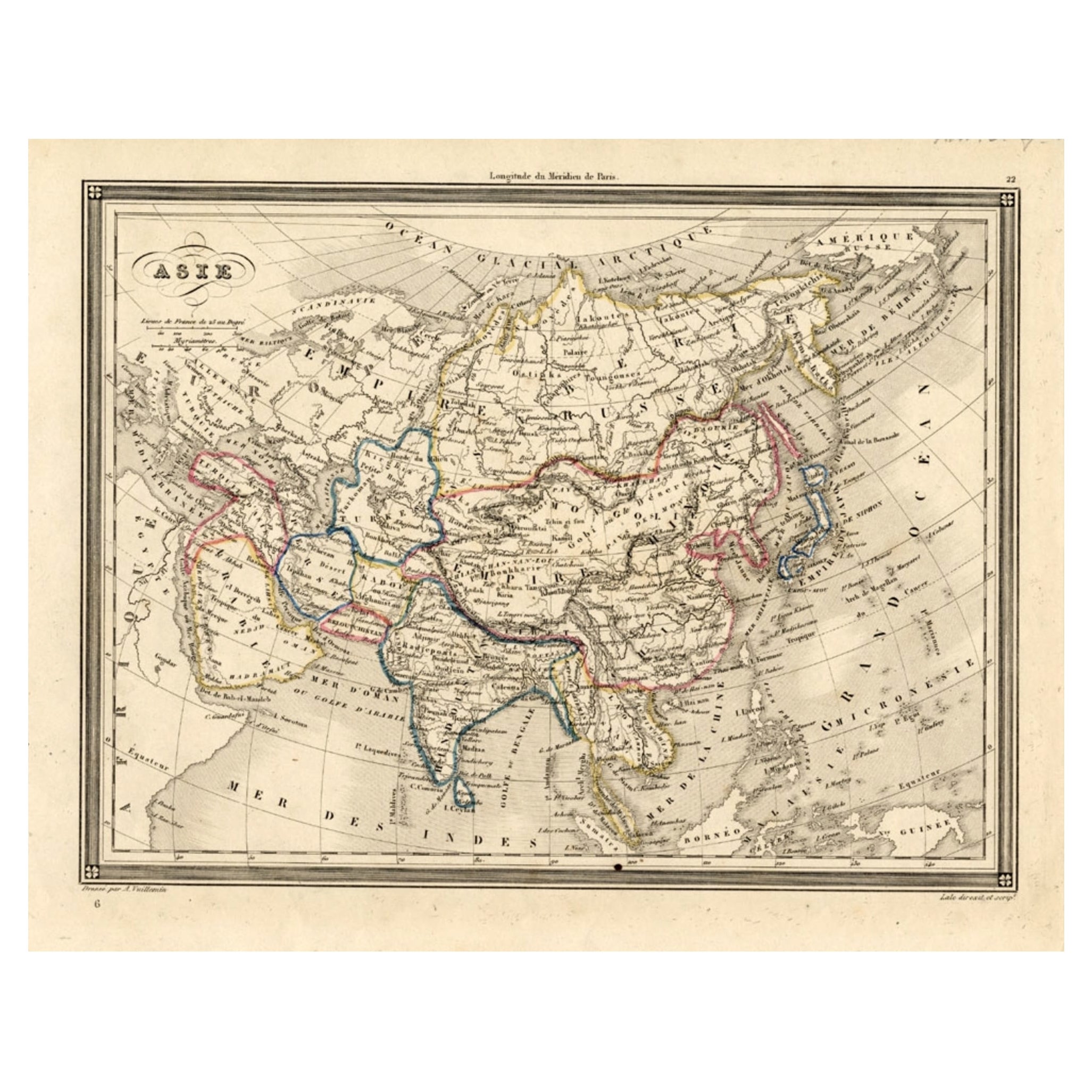
Antique Ancient World Map – Orbis Veteribus Notus, Engraving c.1818 Striking antique map depicting the world as known to the ancient classical civilizations, extending from Western Europe and Africa through the Middle East, India, and East Asia. The composition presents a sweeping, curved projection that gives the sheet strong visual movement and a distinctly architectural presence on the wall. This large map is offered unframed, enabling custom framing to personal or interior preferences. The map illustrates the geographic understanding of the ancient world based on classical Greek and Roman sources, with continents, regions, rivers, and cities labeled using archaic Latin place names. Africa, Europe, and Asia dominate the composition, while India and the Far East stretch elegantly toward the right margin, creating a dynamic horizontal balance well suited to modern interiors. The map is based on the work of Jean-Baptiste Bourguignon d’Anville (1697–1782), whose historical reconstructions reshaped Enlightenment cartography. Rather than speculative geography, d’Anville relied on critical analysis of ancient texts, itineraries, and comparative sources, producing maps valued for clarity, proportion, and intellectual rigor. This example is the English edition published in London by Laurie & Whittle circa 1818, issued as part of the atlas A Complete Body of Ancient Geography. Produced during the neoclassical period, the restrained engraving and subtle original outline color align naturally with contemporary interior design, offering historical depth without visual excess. The neutral parchment tone, fine engraved detail, and wide format make this map particularly effective as statement wall art in libraries, studies, hallways, and hospitality spaces. It also works exceptionally well as part of a trio when displayed alongside the Eastern and Western Roman Empire maps. A timeless and highly decorative representation of the ancient world, combining scholarly authority with strong aesthetic impact. Condition report: Good antique condition with light, even toning and gentle age-related wear consistent with age. Original outline color remains visible and balanced. Central fold as issued. No major tears, losses, or repairs observed. Framing tips: Best presented in a wide dark walnut, blackened oak, or ebonized frame with a generous ivory or parchment-toned mat. Museum or UV glass recommended. Particularly effective when framed horizontally or displayed as part of a coordinated classical map set. We sell the map unframed. Technique: Engraving with original outline color Maker: Jean-Baptiste Bourguignon d’Anville (after), published by Laurie & Whittle, London, circa 1818 Keywords: antique world map, ancient world map, orbis veteribus notus, classical world map, antique engraved map, d’anville map, laurie and whittle, 19th century map, ancient geography map, roman world map, greek world map, classical antiquity map, europe africa asia map, neoclassical wall art, antique map wall decor, interior designer wall art, library wall decor, study wall art, museum style decor, parchment toned art, neutral wall art, scholarly antique map, collectible antique map, framed antique map, historical wall art, enlightenment cartography, british atlas map, elegant antique print, large horizontal wall art, statement wall art, academic map
  • Dimensions:
    Height: 21.42 in (54.4 cm)Width: 29.77 in (75.6 cm)Depth: 0.01 in (0.2 mm)
  • Materials and Techniques:
    Paper,Engraved
  • Place of Origin:
  • Period:
  • Date of Manufacture:
    1818
  • Condition:
    Good antique condition with light, even toning and gentle age-related wear consistent with age. Original outline color remains visible and balanced. Central fold as issued. No major tears, losses, or repairs observed.
  • Seller Location:
    Langweer, NL
  • Reference Number:
    Seller: BG-14227-4-31stDibs: LU3054348631922

More From This Seller

View All
Antique Map of Europe and Part of Asia and Africa, 1848

Antique Map of Europe and Part of Asia and Africa, 1848

Located in Langweer, NL

Antique map titled 'Orbis Veteribus Notus'. Old map of the European continent, also depicting a portion of Asia and Africa. Originating from 'Orbis Terrarum Antiquus in usum Scholaru...

Category

Antique 19th Century Maps

Materials

Paper

Terra Veteribus Nota — Classical World Map of Antiquity, Wilkinson 1814

Terra Veteribus Nota — Classical World Map of Antiquity, Wilkinson 1814

Located in Langweer, NL

Terra Veteribus Nota — Classical World Map of Antiquity, Wilkinson 1827 This elegant antique map titled *Terra Veteribus Nota* (“The World Known to the Ancients”) was published in L...

Category

Antique Early 19th Century British Maps

Materials

Paper

Antique Map of the Old World Projection, Entitled Orbis Terrarum Ad Mentem, 1825

Antique Map of the Old World Projection, Entitled Orbis Terrarum Ad Mentem, 1825

Located in Langweer, NL

Antique map titled 'Orbis Terrarum ad Mentem (..)'. Old map of the world originating from 'Atlas der Oude Wereld'. Artists and Engravers: Published by C. Ph. Funke and W. van Boe...

Category

Antique 19th Century Maps

Materials

Paper

Ancient World Map: Europe, Africa & Asia - 1802 Tardieu Atlas

Ancient World Map: Europe, Africa & Asia - 1802 Tardieu Atlas

Located in Langweer, NL

Antique Map Description with title: "Monde Connu Des Anciens" Publication Details: - Atlas Title: Nouvel Atlas Universel de Géographie Ancienne et Moderne - Purpose: For the Nouvel...

Category

Antique Early 1800s Maps

Materials

Paper

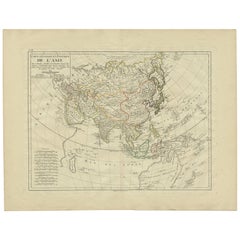
Antique Map of Asia by Mentelle, 1819

Antique Map of Asia by Mentelle, 1819

Located in Langweer, NL

Antique map titled 'Carte générale et Politique de l'Asie'. Detailed map of Asia. Includes a nice early depiction of Australia (Nouvelle Hollande), including its unknown and conjectu...

Category

Antique Early 19th Century French Maps

Materials

Paper

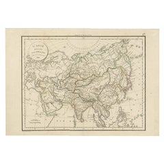
Antique Map of Asia by Delamarche, 1826

Antique Map of Asia by Delamarche, 1826

Located in Langweer, NL

Vaugondy's map plates and copyrights and later addes many plates from other sources as well. Charles Delamarche eventually passed control of the firm to his son Felix Delamarche (18t...

Category

Antique 19th Century Maps

Materials

Paper

You May Also Like

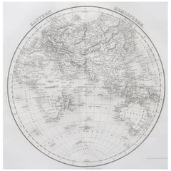
Original Antique Map of The Eastern Hemisphere by Dower, circa 1835

Original Antique Map of The Eastern Hemisphere by Dower, circa 1835

Located in St Annes, Lancashire

Nice map of the Eastern Hemisphere Drawn and engraved by J.Dower Published by Orr & Smith. C.1835 Unframed. Free shipping

Category

Antique 1830s English Maps

Materials

Paper

1790 Thomas Stackhouse Map, Entitled "Russia in Europe, " , Ric.a004

1790 Thomas Stackhouse Map, Entitled "Russia in Europe, " , Ric.a004

Located in Norton, MA

1790 Thomas Stackhouse map, entitled "Russia in Europe" Ric.a004 Stackhouse, Thomas Russia in Europe [map] London: T. Stackhouse, 1783. Map. Matted hand-colored copper engraving. Image size: 14.5 x 15.25 inches. Mat size: 22.75 x 23.75 inches. A beautiful example of this map of Eastern Europe...

Category

Antique 17th Century Unknown Maps

Materials

Paper

Antique Map of Eastern Hemisphere from the collection of Thierry Despont

Antique Map of Eastern Hemisphere from the collection of Thierry Despont

Located in New York, NY

Designed by Enrico Bonetti (E. Bonatti) and published by Francesco Vallardi Editore. Based on an earlier map by Evangelista Azzi (Ev. Azzi). Labeled as such at bottom edge of map. T...

Category

Antique Late 19th Century Italian Maps

Materials

Canvas, Wood

Map of the World - Original Etching - 1820

Map of the World - Original Etching - 1820

Located in Roma, IT

Map of the World is an Original Etching realized by an unknown artist of 19th century in 1820. Very good condition on two sheets of white paper joine...

Category

1820s Modern Figurative Prints

Materials

Etching

Antique 1803 Italian Map of Asia Including China Indoneseia India

Antique 1803 Italian Map of Asia Including China Indoneseia India

Located in Amsterdam, Noord Holland

Antique 1803 Italian Map of Asia Including China Indoneseia India Very nice map of Asia. 1803. Additional information: Type: Map Country of Manufacturing: Europe Period: 19th centu...

Category

Antique 19th Century European Maps

Materials

Paper

Antique French Map of Asia Including China Indoneseia India, 1783

Antique French Map of Asia Including China Indoneseia India, 1783

Located in Amsterdam, Noord Holland

Very nice map of Asia. 1783 Dedie au Roy. Additional information: Country of Manufacturing: Europe Period: 18th century Qing (1661 - 1912) Condition: Overall Condition B (Good Used)...

Category

Antique 18th Century European Maps

Materials

Paper