Maps

to
2,311
5,885
245
6,132
4
1
6,059
117
2,038
6,137
6,137
6,137
Maps For Sale
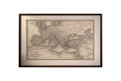
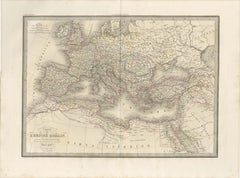
Antique Roman Empire Map, Europe Mediterranean, Lapie Tardieu, 1838

Antique Roman Empire Map, Europe Mediterranean, Lapie Tardieu, 1838

Located in Langweer, NL

Antique Roman Empire Map, Europe Mediterranean, Lapie Tardieu, 1838 Description: This finely engraved historical map titled *Carte de l’Empire Romain* was published in Paris in 1838 as part of the celebrated Atlas Universel de Géographie Ancienne et Moderne by the distinguished French cartographer M. Lapie. The atlas is known for its clarity, scholarly precision, and refined aesthetic, representing the high standard of French cartography in the early 19th century. The map depicts the Roman Empire at its greatest extent, spanning across Europe, North Africa, and the Near East. The composition clearly outlines the imperial boundaries, delicately highlighted with original hand coloring, while an intricate network of cities, provinces, and ancient regions provides rich geographical and historical context. Major features such as the Mediterranean basin, the British Isles, Asia Minor, and the Levant are rendered with fine engraved detail and subtle tonal shading. The engraving was executed by Pierre Antoine Tardieu, a respected member of the renowned Tardieu family of French engravers, known for their precision and contribution to scientific and cartographic works. His refined linework enhances both the readability and visual elegance of the map. The balanced composition, combined with restrained color and exceptional detail, gives this sheet a timeless decorative quality. It functions equally well as a historical document and as a sophisticated interior piece, particularly suited for a study, office, or curated gallery wall. Condition report: Good condition overall. Light age toning and scattered foxing visible, mainly in the margins. Original center fold as issued. Paper remains strong and stable. Plate mark visible. Framing tips: Ideal for a dark walnut or black frame with a generous ivory or cream mat to enhance the subtle hand coloring and fine engraved detail. Particularly effective in a study, library, or as part of a curated gallery wall of historical maps. Keywords: antique Roman Empire map, Lapie atlas 1838, Tardieu engraving, Europe map antique...

Category

Early 19th Century French Antique Maps

Materials

Paper

Antique 1683 Map of Hispaniola and Puerto Rico in the Caribbean by Mallet

Antique 1683 Map of Hispaniola and Puerto Rico in the Caribbean by Mallet

Located in Langweer, NL

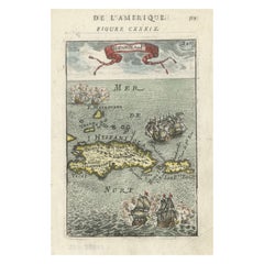
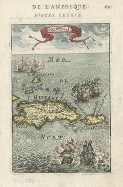
Title: 17th Century Map of Hispaniola and Puerto Rico by Mallet (1683) This exquisite 17th-century map by Mallet, titled "I. d'Hispaniola et P.to Rico," showcases the islands of Hispaniola and Puerto Rico with remarkable detail. Published in Paris in 1683 as part of Mallet's monumental "Description de l'Univers," this map is a prime example of historical cartography from the era. Map Features: - Detailed depiction of Hispaniola and Puerto Rico - Nearby islands: Inagua islands, Mayaguana, Île-à-Vache, Saona, and Mona - Three illustrated naval battles surrounding the islands - Hand-colored illustrations typical of the period - Published in Paris, 1683, as part of the "Description de l'Univers" - Engraved with artistic and geographic precision Collectors and enthusiasts of antique maps will appreciate the historical significance and artistic detail of this rare print. Although small, the map is perfect for framing and this map serves as a captivating piece of history, reflecting the maritime exploration and territorial knowledge of the late 17th century. The maker of the map is Allain Manesson Mallet, a notable 17th-century cartographer, military engineer, and author. Born in Paris in 1630, Mallet served in the French army and worked as a military engineer under Louis XIV. He later became a professor of mathematics and military architecture. Mallet is best known for his monumental work, "Description de l'Univers," published in Paris in 1683. This extensive publication is considered one of the greatest works of its kind in the 17th century, providing detailed descriptions and maps of various parts of the world. Mallet's maps are renowned for their artistic quality, intricate details, and the inclusion of illustrative elements such as ships, sea creatures, and topographical features. Mallet's contributions to cartography and his work in "Description de l'Univers" have left a lasting impact on the field, making his maps highly valued by collectors and historians. Keywords: - 17th-century map - Mallet map 1683 - Hispaniola map - Puerto Rico map - Antique Caribbean map...

Category

1830s Antique Maps

Materials

Paper

Historical Map of Canaan with Insets of Jerusalem and Surrounding Regions, 1880

Historical Map of Canaan with Insets of Jerusalem and Surrounding Regions, 1880

Located in Langweer, NL

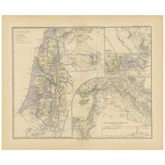
The map titled "CANAAN" depicts the historical region known as Canaan, located in the Levant, which corresponds to modern-day Israel, Palestinian territories, Lebanon, and parts of S...

Category

1880s Antique Maps

Materials

Paper

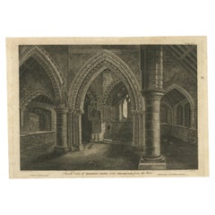
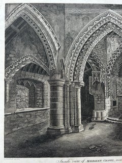
Inside View of Magdalen Chapel – Engraving of Medieval Gothic Interior, 1790

Inside View of Magdalen Chapel – Engraving of Medieval Gothic Interior, 1790

Located in Langweer, NL

Inside View of Magdalen Chapel – Engraving of Medieval Gothic Interior, 1790 This atmospheric antique engraving captures the interior of the Magdalen Chapel near Winchester, as view...

Category

18th Century English Antique Maps

Materials

Paper

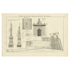
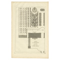
Pl. 24 Antique Print of various Garden Elements by Le Rouge, c.1785

Pl. 24 Antique Print of various Garden Elements by Le Rouge, c.1785

Located in Langweer, NL

Antique print titled 'Plan général des Jardins de M. le Chr. de Janseen'. Copper engraving showing various garden elements. This print originates from 'Jardins Anglo-Chinois à la Mod...

Category

18th Century Antique Maps

Materials

Paper

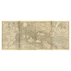
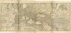
Rare 1730 Roman Empire Map by Moll - Detailed and Engraved Masterpiece

Rare 1730 Roman Empire Map by Moll - Detailed and Engraved Masterpiece

Located in Langweer, NL

An Historical Map of the Roman Empire and the Neighbouring Barbarous Nations by Herman Moll - Circa 1730 This grand and historically significant map of the Roman Empire was create...

Category

1730s German Antique Maps

Materials

Paper

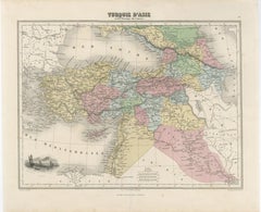
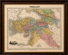
Turquie d’Asie et les Provinces du Caucase Map, Ottoman Empire 1873

Turquie d’Asie et les Provinces du Caucase Map, Ottoman Empire 1873

Located in Langweer, NL

Turquie d’Asie et les Provinces du Caucase Map, Ottoman Empire 1873 A finely engraved and beautifully hand-colored French map titled “Turquie d’Asie et les Provinces du Caucase,” published in 1873. This elegant nineteenth-century map depicts the Ottoman territories of Asia Minor and the broader Near East, extending from Anatolia and the eastern Mediterranean to the Caucasus, Mesopotamia, Syria, Armenia, Kurdistan, and parts of Persia. The map is executed in the refined French cartographic style of the later nineteenth century, combining delicate engraving with soft original hand coloring that distinguishes provinces and administrative regions across the Ottoman Empire and neighboring territories. The visual balance between the pale pastel tones and the intricate geographic detail gives the sheet a sophisticated decorative quality highly suitable for framing. Asia Minor and Anatolia dominate the composition, while important historic and strategic cities including Constantinople, Smyrna, Trebizond, Aleppo, Damascus, Mosul, Baghdad, and Tiflis are carefully identified. The Caucasus region is shown in remarkable detail, reflecting the growing geopolitical importance of Armenia, Georgia, Circassia, and the Russian frontier during this period. Mountain systems, rivers, caravan routes, and coastal geography are elegantly rendered throughout. A particularly attractive feature is the vignette at lower left depicting vessels on the Nile near Egypt, adding a subtle romantic element to the otherwise scholarly composition. The Mediterranean, Black Sea, and Persian frontier frame the map beautifully and reinforce its broad geographic scope connecting Europe, the Levant, Arabia, and Central Asia. This map strongly appeals to collectors interested in Ottoman history, Middle Eastern cartography, the Caucasus, Armenia, and nineteenth-century European views of the Near East. It also works exceptionally well as a decorative statement piece in interiors inspired by travel, archaeology, orientalism, or classical libraries. The map displays beautifully in a dark walnut, ebonized, or gilt frame with a wide ivory mat, where the soft hand coloring and elegant typography become especially striking. Condition: Good antique condition with age-related toning and occasional light foxing. Original center fold as issued. Minor handling wear and faint discoloration consistent with age. Please study image carefully. Special note: This is an original antique map, not a reproduction. All items we offer are authentic period works of art over 100 years old. The piece is sold unframed; any framed images are shown for presentation and interior inspiration only and may not always be to scale. Keywords: Ottoman Empire map, Turquie d’Asie, Asia Minor map, Caucasus map...

Category

Mid-19th Century French Antique Maps

Materials

Paper

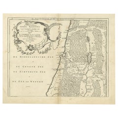
Antique Map of Northern Palestine with The Tribes of Israel. Dutch, 1763

Antique Map of Northern Palestine with The Tribes of Israel. Dutch, 1763

Located in Langweer, NL

Antique Map of Northern Palestine with Tribal Divisions, Bachiene, 1763 The cartouche bears the title: “’t Noordelyke Gedeelte van het Geheel Palestina Benevens het Noordelyk en Zui...

Category

18th Century Dutch Antique Maps

Materials

Paper

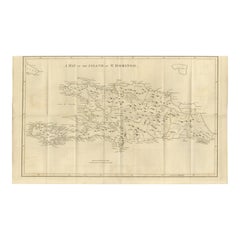
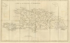
Saint Domingue Map 1793 – Colonial Haiti and Dominican Republic Plan

Saint Domingue Map 1793 – Colonial Haiti and Dominican Republic Plan

Located in Langweer, NL

1793 Map of Saint Domingue (Haiti and DR) – Colonial Island Plan This antique map is titled “A Map of the Island of St. Domingo” and dates from circa 1793. It depicts the entire isl...

Category

Late 18th Century English Antique Maps

Materials

Paper

Antique Italian Region Map, Framed Cartography, 18th Century, Emilia Romagna

Antique Italian Region Map, Framed Cartography, 18th Century, Emilia Romagna

Located in Hele, Devon, GB

This is an antique Italian region map. A framed cartographic representation of the Adriatic coast and Eastern Emilia-Romagna in the 18th century, engraved by Giovanni Petroski. Fasc...

Category

1750s Italian Georgian Antique Maps

Materials

Glass, Paper

16th Century Map of Saudi Arabia, the Persian Gulf and Red Sea, ca. 1574

16th Century Map of Saudi Arabia, the Persian Gulf and Red Sea, ca. 1574

Located in Langweer, NL

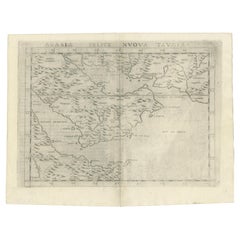
Ptolemaic map of the Arabian Peninsula based on the 1548 map of Giacomo Gastaldi. It covers nearly all of the peninsula, but does not include the head of the Red Sea. The coastlines ...

Category

16th Century Italian Antique Maps

Materials

Paper

Ontario Antique Map c.1888 – Western Counties, Heartland Province Railroads

Ontario Antique Map c.1888 – Western Counties, Heartland Province Railroads

Located in Langweer, NL

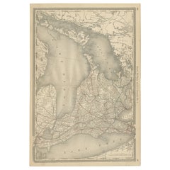
Antique Map of Western Ontario, Canada – Rand McNally, circa 1888 This antique map of western Ontario was published by Rand, McNally & Co. around 1888. Labeled “Ontario No. 1,” it p...

Category

Late 19th Century American Antique Maps

Materials

Paper

Persia, Afghanistan and Beloochistan, Antique Map of Iran Region, Blackie 1860

Persia, Afghanistan and Beloochistan, Antique Map of Iran Region, Blackie 1860

Located in Langweer, NL

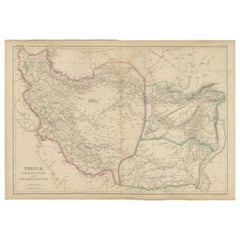
Persia, Afghanistan and Beloochistan, Antique Map of Iran Region, Blackie 1860 Description: This original antique map titled Persia, Afghanistan and Beloochistan presents a detailed mid-19th-century cartographic view of a strategically important region at the crossroads of the Middle East, Central Asia, and South Asia. The map originates from The Imperial Atlas of Modern Geography and was published in 1860 by W. G. Blackie, one of the most respected British atlas publishers of the Victorian era. The map covers Persia (modern-day Iran), Afghanistan, and Beloochistan (Balochistan), extending from the Caspian Sea in the north to the Persian Gulf and Arabian Sea in the south, and eastward toward the Indus frontier. Political and regional boundaries are clearly distinguished with original hand coloring, reflecting contemporary divisions between Persian territories, Afghan regions, and adjacent lands influenced by British India. Mountain systems such as the Zagros, Elburz, and Hindu Kush are rendered with pronounced relief, emphasizing the rugged terrain that shaped trade, warfare, and political control. Major river systems, deserts, caravan routes, and key settlements are meticulously engraved, offering insight into 19th-century European geographic knowledge of the region. Coastal outlines along the Caspian Sea and Persian Gulf are carefully delineated, highlighting important ports and maritime connections. This map reflects the geopolitical importance of the region during the era of the “Great Game,” when British and Russian imperial interests converged in Central Asia. Its refined engraving, subtle original coloring, and large horizontal format give it both strong historical significance and decorative appeal. It is equally suited to collectors of Middle Eastern and Central Asian cartography and to interior designers seeking a historically grounded wall map with intellectual presence. Condition report: Good antique condition. Light overall age toning consistent with age. Minor scattered foxing and light handling marks, mainly visible in the margins. Original central fold as issued. No major tears or losses. Framing tips: A wide ivory or warm cream mat will enhance the clarity of the engraving and original hand coloring. A dark walnut, black, or understated antique gilt frame complements the map’s scholarly and exploratory character. Museum or UV-protective glass is recommended. Technique: Copper engraving with original hand coloring Maker: W. G. Blackie, Scotland, 1860 Keywords: Persia map, Iran map...

Category

Mid-19th Century British Antique Maps

Materials

Paper

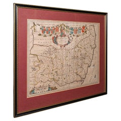
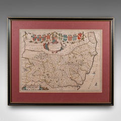
Antique Suffolk County Map, Dutch, Atlas Novus, Joan Blaeu, Cartography, C.1645

Antique Suffolk County Map, Dutch, Atlas Novus, Joan Blaeu, Cartography, C.1645

Located in Hele, Devon, GB

This is an antique county map of Suffolk. A Dutch, framed atlas engraving by Joan Blaeu, dating to the 17th century and later. A treat for the collector or county native, with this ...

Category

1640s Dutch Charles II Antique Maps

Materials

Glass, Paper

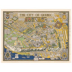
Quebec City Pictorial Map, The City of Quebec with Historical Notes, 1932

Quebec City Pictorial Map, The City of Quebec with Historical Notes, 1932

Located in Langweer, NL

Antique Florida Highway Map – Conners Highway, Lake Okeechobee Roads, ca.1924 This striking pictorial map of Quebec City was created in 1932 by Samuel Herbert Maw and reflects the p...

Category

Early 20th Century Canadian Maps

Materials

Paper

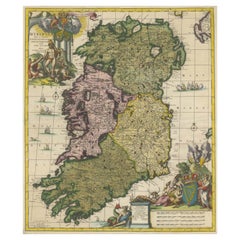
Hibernia Regnum Map by Carel Allard, 1700: Hand-Colored Provinces of Ireland

Hibernia Regnum Map by Carel Allard, 1700: Hand-Colored Provinces of Ireland

Located in Langweer, NL

This is a historical map of Ireland created by Carel Allard around 1700, titled "Hibernia Regnum in Quatuor Provincias Ultoniam, Connaciam, Lageniam, et Momoniam". The map is hand-colored and engraved. It includes two large decorative cartouches. The map is part of an atlas by Carel Allard, an Amsterdam-based cartographer. Here are the detailed points about the map: Maker: Carel Allard - a prominent Dutch cartographer and publisher from Amsterdam. Atlas: Source Atlas - Likely part of an atlas published by Carel Allard, but specific title of the atlas isn't mentioned. Interesting Features 1. Decorative Cartouches: The map features two large, ornate cartouches. One in the upper left depicts a classical figure and British Royal arms...

Category

Early 1700s Antique Maps

Materials

Paper

Antique Map of the Biblical Lands, Arabia and Canaan, Malte-Brun c.1820

Antique Map of the Biblical Lands, Arabia and Canaan, Malte-Brun c.1820

Located in Langweer, NL

Antique Map of Sinai and Gulf of Suez by Niebuhr, Arabia, c.1774 A rare and highly important 18th-century engraved map titled “Tabula Itineraria a Sues usque ad Dsjaebbel el Mokatte...

Category

Early 19th Century Dutch Antique Maps

Materials

Paper

Large Decorative Map of Westchester County New York 1931 – Linen-Backed Wall Map

Large Decorative Map of Westchester County New York 1931 – Linen-Backed Wall Map

Located in Langweer, NL

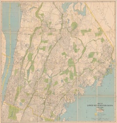
Large Decorative Map of Westchester County NY 1931 – Linen-Backed Wall Map Description: This impressive large-format decorative map of Lower Westchester County was published in 1931 by Dolph & Stewart and presents a richly detailed snapshot of suburban New York on the eve of major mid-20th-century expansion. Covering the area from Tarrytown in the north to just below the New York City boundary in the south, the map captures the dense network of towns, streets, rail lines, parks, and waterways that defined Westchester’s early commuter landscape. Prominently shown are Yonkers, Mount Vernon, New Rochelle, Rye, Scarsdale, White Plains, Harrison, Mamaroneck, Bronxville, Pelham, and Eastchester, with parts of the Bronx—including Van Cortlandt Park and Woodlawn Cemetery—clearly delineated along the southern edge. The Hudson River defines the western boundary, with a sliver of New Jersey visible beyond, while the northeastern portion extends into Connecticut. Parks and golf courses are highlighted in green, bodies of water in blue, and transportation routes—including railroads, stations, and ferry connections—are clearly identified. Below the main map is an extensive street and avenue index, making this not only a visually striking wall piece but also a fascinating historical reference. The cartography reflects early 20th-century planning priorities, emphasizing transportation infrastructure and residential development during a formative period for Westchester County as a desirable suburban extension of New York City. This example has been dissected and mounted on linen, as issued, allowing the large sheet to fold neatly while also making it especially suitable for framing. With its balanced pastel palette, fine linework, and substantial scale, the map works beautifully as a statement piece in both classic and modern interiors—particularly appealing to interior designers, architects, and collectors of American cartography. Condition: Issued folding, dissected and mounted on linen. Minor toning along some fold lines, with light foxing and a small amount of soiling near the upper edge. Overall a well-preserved and attractive example, with strong color and excellent legibility throughout. Framing tips: This map presents best framed without glass glare in a large, clean-lined frame. A natural oak, walnut, or muted black frame with a narrow off-white or soft ivory mat will emphasize the scale and detail without overpowering the composition. For a more architectural look, consider float-mounting to reveal the linen backing. Keywords: Westchester County map, Lower Westchester, New York map, 1931 map, antique New York map, Westchester wall map, linen backed map, Yonkers map, White Plains map, Scarsdale map, New Rochelle map, Rye NY map, Mount Vernon map, Bronxville map, Pelham map, Eastchester map, Harrison NY map, Mamaroneck map, Tarrytown map, Hudson River map...

Category

1930s American Vintage Maps

Materials

Linen, Paper

Antique Print of Ornamental Decorations of Door & Ceiling of a Paris Hotel, 1877

Antique Print of Ornamental Decorations of Door & Ceiling of a Paris Hotel, 1877

Located in Langweer, NL

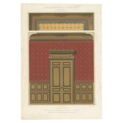
Antique print titled 'Antichambre. Hotel rue du Faubg. St. Honore No. 131. a Paris. Face du cote de la Porte et Plafond. Par M. M. Croiseau et Letrosne, architectes et Denuelle, pein...

Category

19th Century Antique Maps

Materials

Paper

Ireland Antique Map – Royaume d’Irlande, De Vaugondy, Venice 1778

Ireland Antique Map – Royaume d’Irlande, De Vaugondy, Venice 1778

Located in Langweer, NL

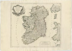
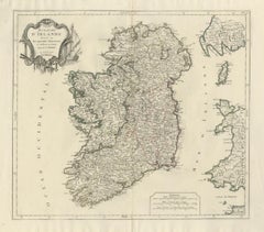
Antique Map of Ireland – Royaume d’Irlande, Robert de Vaugondy, Venice 1778 Description: This finely engraved 18th-century map depicts the Kingdom of Ireland under the title Royaume d’Irlande divisé en ses quatre Provinces et subdivisé en Comtés. The island is shown in impressive detail, with the traditional four provinces—Ulster, Connaught, Leinster, and Munster—clearly delineated and subdivided into counties by contemporary outline coloring. Coastal features, rivers, towns, and road networks are rendered with the clarity and balance typical of late Enlightenment French cartography. The map was drawn by Robert de Vaugondy, one of the most influential mapmakers of the 18th century and royal geographer to the King of France. This Venetian edition was published in 1778 by Paolo Santini, who issued a number of high-quality Italian editions of leading French cartographic works. Santini’s publications are prized for their crisp engraving, generous format, and restrained coloring, making them particularly attractive for framing. The decorative maritime cartouche, left uncolored as issued, provides a refined visual counterbalance to the densely engraved map surface. Longitude and latitude scales frame the composition, while inset coastal details along the eastern seaboard emphasize Ireland’s maritime orientation and strategic importance during the Georgian period. The overall aesthetic is elegant rather than ornate, lending the map strong decorative appeal for both classic and contemporary interiors. This map sits at the intersection of political geography and decorative cartography, reflecting Ireland’s administrative structure in the late 18th century while remaining visually calm and highly legible. It works exceptionally well as a stand-alone wall piece in libraries, studies, hallways, or heritage-inspired interiors, and also pairs beautifully with maps of England or Scotland from the same period. Condition report: Good antique condition. Light, even age toning throughout. Original centerfold as issued. Minor handling wear and soft creases consistent with age. Contemporary outline coloring well preserved. No major tears or losses. Framing tips: This map benefits from a wide mat to emphasize its scale and clarity. Recommended combinations include a dark walnut or ebonized frame with an ivory or light parchment mat for a traditional library look, or a slim black frame with an off-white mat for a cleaner, architectural presentation. UV glass is advised to preserve the original coloring. Technique: Copper engraving with contemporary outline coloring Maker: Robert de Vaugondy, published by Paolo Santini, Venice, 1778 Keywords: antique map of Ireland, antique Ireland map, Royaume d’Irlande map, Robert de Vaugondy Ireland, Santini Venice map, 18th century Ireland map, hand colored antique map, Georgian era cartography, historic Ireland wall map, European antique map, French cartographic school, Italian engraved map, copper engraved map, decorative antique map, neutral antique wall art, classic library wall decor, historic wall decor, heritage interior art, gentleman’s library wall art, study wall decor, old world interior decor, English country house style, refined wall map, vintage European wall art, timeless wall decor, architectural interior art, framed antique map...

Category

1770s Italian Antique Maps

Materials

Paper

Pl. 4 Antique Print of Various Elements of the Kew Gardens by Le Rouge, c.1785

Pl. 4 Antique Print of Various Elements of the Kew Gardens by Le Rouge, c.1785

Located in Langweer, NL

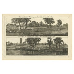
Antique print titled 'Vue du Lac, de l'Orangerie et du Temple d'Eole à Kew (..)'. Copper engraving showing the lake, orangery, temple and pagoda of the Kew gardens. This print origin...

Category

18th Century Antique Maps

Materials

Paper

Decorative London Railway Map, Victorian Transport Plan of London & Suburbs 1885

Decorative London Railway Map, Victorian Transport Plan of London & Suburbs 1885

Located in Langweer, NL

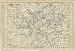
Decorative London Railway Map, Victorian Transport Plan of London & Suburbs, 1885 A fascinating and highly decorative Victorian railway map illustrating London and its rapidly expan...

Category

Late 19th Century British Antique Maps

Materials

Paper

Antique Map of the Eastern Hemisphere by Valk & Chenk '1708'

Antique Map of the Eastern Hemisphere by Valk & Chenk '1708'

Located in Langweer, NL

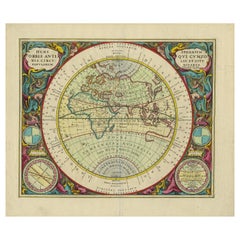
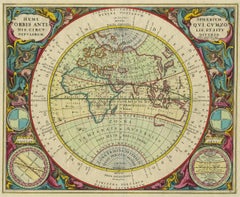
Antique map titled 'Hemispherium Orbis Antiqui, Cumzonis Circulis, Et Sity populorum Diverso'. Decorative example of Andreas Cellarius's map of the Eastern Hemisphere, illustrating with climatic zones ranging from Frigida Borealis to Torrida, with planetary details superimposed. The elaborate border includes fine scrollwork, numerous putti, and additional diagrams showing armillary spheres and climatic zones. Andreas Cellarius was born in 1596 in Neuhausen and educated in Heidelberg. He emigrated to Holland in the early 17th century and 1637 moved to Hoorn, where he became the rector of the Latin School. Cellarius' best known work is his Harmonia Macrocosmica, first issued in 1660 by Jan Jansson, as a supplement to Jansson's Atlas Novus. The work consists of a series of Celestial Charts...

Category

Early 18th Century Dutch Antique Maps

Materials

Paper

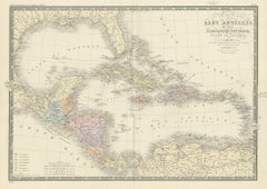
Antique Map of the Antilles in the Caribbean, '1875'

Antique Map of the Antilles in the Caribbean, '1875'

Located in Langweer, NL

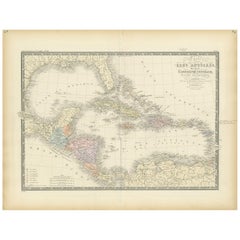
Antique map titled 'Carte des Iles Antilles'. Large map of the Antilles. This map originates from 'Atlas de Géographie Moderne Physique et Politique' by A. Levasseur. Published, 1875.

Category

Late 19th Century French Antique Maps

Materials

Paper

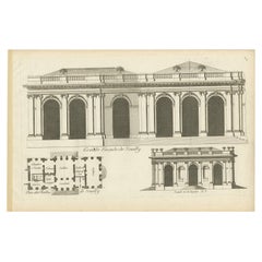
Pl. 6 Antique Print of Château De Neuilly by Le Rouge, c.1785

Pl. 6 Antique Print of Château De Neuilly by Le Rouge, c.1785

Located in Langweer, NL

Antique print titled 'Grande Facade de Neuilly'. Copper engraving showing part of Château de Neuilly. This print originates from 'Jardins Anglo-Chinois à la Mode' by Georg Louis le R...

Category

18th Century Antique Maps

Materials

Paper

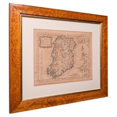
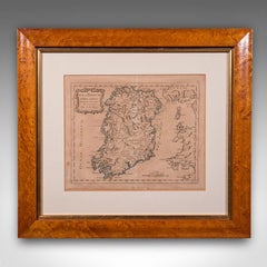
Antique Map of Ireland, French, Framed Cartography, Eire, Georgian, Circa 1780

Antique Map of Ireland, French, Framed Cartography, Eire, Georgian, Circa 1780

Located in Hele, Devon, GB

This is an antique map of Ireland. A French, maple framed cartography engraving by Jean-Baptiste Nolin, this posthumous atlas edition dating to the Georgian period, circa 1780. Full...

Category

1780s French Georgian Antique Maps

Materials

Glass, Paper

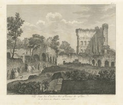
Antique Engraving of the Baths of Titus in Rome, Ruins, Niquet Family, c.1780

Antique Engraving of the Baths of Titus in Rome, Ruins, Niquet Family, c.1780

Located in Langweer, NL

Antique Engraving of the Baths of Titus in Rome, Ruins, Niquet Family, c.1780 This refined late 18th-century engraving presents a picturesque and historically informed view of the r...

Category

Early 17th Century French Antique Maps

Materials

Paper

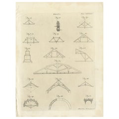
Pl. 465 Antique Print of Roof Structures by Bell, c.1810

Pl. 465 Antique Print of Roof Structures by Bell, c.1810

Located in Langweer, NL

Antique print titled 'Plate CCCCLXIV Roofs'. Old print depicting various roof structures. This print originates from 'Encyclopedia Britannica'. Artists and Engravers: Engraved by A. ...

Category

19th Century Antique Maps

Materials

Paper

Caesar’s Gallia Antiqua – Blaeu Map of Ancient France, c.1642

Caesar’s Gallia Antiqua – Blaeu Map of Ancient France, c.1642

Located in Langweer, NL

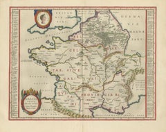
Caesar’s Gallia Antiqua – Blaeu Map of Ancient France, c.1642 Description: A superb and highly decorative 17th-century map of ancient Gaul, titled Gallia Vetus, published by Willem ...

Category

Mid-17th Century Dutch Antique Maps

Materials

Paper

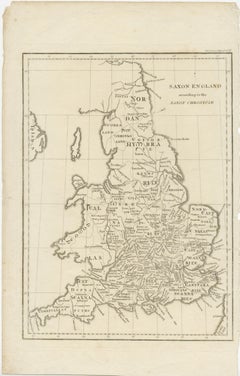
Antique Map of Saxon England according to the Anglo-Saxon Chronicle

Antique Map of Saxon England according to the Anglo-Saxon Chronicle

Located in Langweer, NL

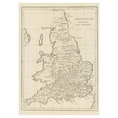
Antique map titled 'Saxon England According to the Saxon Chronicle'. Map of Saxon England based upon descriptions in the Anglo-Saxon Chronicle, a collection of annals in Old English ...

Category

Early 19th Century Antique Maps

Materials

Paper

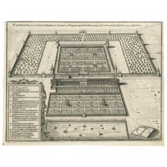
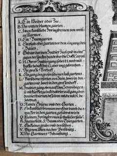
Baroque Garden and Palace near Vienna – Antique Architectural Engraving, 1649

Baroque Garden and Palace near Vienna – Antique Architectural Engraving, 1649

Located in Langweer, NL

Baroque Garden and Palace near Vienna – Antique Architectural Engraving, 1649 This is a beautifully detailed 17th-century engraving, depicting a formal Baroque garden layout in Vien...

Category

1640s German Antique Maps

Materials

Paper

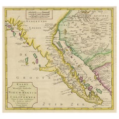
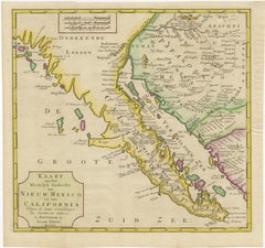
Antique Map of Baja California and parts of Alta California, Arizona and Sonora

Antique Map of Baja California and parts of Alta California, Arizona and Sonora

Located in Langweer, NL

Antique map titled 'Kaart van het Westelyk Gedeelte van Nieuw Mexico en van California'. Beautiful map of Baja California and parts of Alta California, Arizona and Sonora. Isaac Tiri...

Category

Mid-18th Century Antique Maps

Materials

Paper

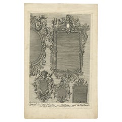
Antique Print of Various Mirrors, C.1700

Antique Print of Various Mirrors, C.1700

Located in Langweer, NL

Antique print titled 'Spiegel und Wand Leuchter vor Bildhauer und Goldtschmidt'. This print shows decorative mirrors/wall decoration. Artists and Engravers: Made after P. Decker. ...

Category

18th Century Antique Maps

Materials

Paper

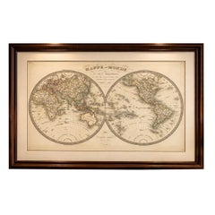
Antique Double Hemisphere World Map – Lapie, Paris, 1838

Antique Double Hemisphere World Map – Lapie, Paris, 1838

Located in Langweer, NL

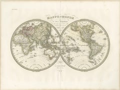
Antique Double Hemisphere World Map – Lapie, Paris, 1838 This elegant and finely engraved double-hemisphere world map was published in Paris in 1838 as part of the renowned Atlas Un...

Category

Early 19th Century French Antique Maps

Materials

Paper

Antique Map of Surrey, English, Framed County Cartography, After Blaeu, C.1690

Antique Map of Surrey, English, Framed County Cartography, After Blaeu, C.1690

Located in Hele, Devon, GB

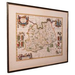
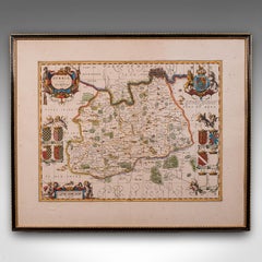
This is an antique map of Surrey. An English, framed cartography engraving by Willem Janszoon Blaeu, this centre fold edition dating to the William & Mary period, circa 1690. A fine...

Category

1690s British William and Mary Antique Maps

Materials

Glass, Paper

Large Original Antique Map of The World, Fullarton, C.1870

Large Original Antique Map of The World, Fullarton, C.1870

Located in St Annes, Lancashire

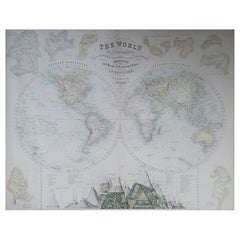
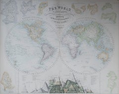
Great map of the World. Showing both hemispheres From the celebrated Royal Illustrated Atlas Lithograph. Original color. Published by Fullarton, Edinburgh, C.1870 Unframed. Rep...

Category

1870s Scottish Antique Maps

Materials

Paper

Antique Map of The United States of North America, 1882

Antique Map of The United States of North America, 1882

Located in Langweer, NL

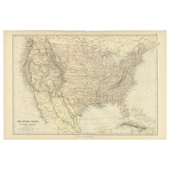
This is a historical map titled "The United States of North America, Central Part" from the 1882 Blackie Atlas. It depicts the continental United States with a high level of detail, ...

Category

1880s British Antique Maps

Materials

Paper

18th Century Original Dutch Map of Martinique in The West Indies by Isaak Tirion

18th Century Original Dutch Map of Martinique in The West Indies by Isaak Tirion

Located in Langweer, NL

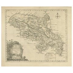
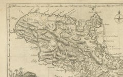
This is an 18th-century Dutch map of Martinique, titled *Het Westindisch Eiland Martinique*. The map was produced by Isaak Tirion, a renowned Dutch cartographer and publisher known for his precise and beautifully crafted maps. The cartouche in the lower left corner, adorned with decorative elements, adds to the aesthetic appeal of the map. ### Key Features: - Martinique: The map offers detailed topographical information of the island, including mountains, rivers, and settlements. - Geographical Details: Locations such as Fort Royal, Bay de St. Pierre, and Point de Cloche are marked, showcasing significant features of the island. - Cartouche: The ornate cartouche, featuring tropical plants, reflects the importance of the island's agricultural production during the colonial period, particularly its sugar plantations. This map captures Martinique during its time as a French colony and provides valuable insight into the island’s layout and strategic significance in the Caribbean. The attention to coastal detail highlights the importance of Martinique as a hub of maritime activity. The map’s combination of aesthetic elegance and cartographic precision makes it a remarkable piece for collectors and those interested in Caribbean colonial...

Category

1760s Antique Maps

Materials

Paper

Antique Biblical Atlas with 17 Hand-Colored Maps, Religious Tract Society c.1850

Antique Biblical Atlas with 17 Hand-Colored Maps, Religious Tract Society c.1850

Located in Langweer, NL

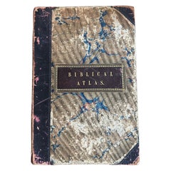
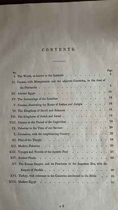
Antique Biblical Atlas with 17 Hand-Colored Maps, Religious Tract Society c.1850 This rare Biblical Atlas was published in London by the Religious Tract Society, founded in 1799, an...

Category

Mid-19th Century English Antique Maps

Materials

Paper

Antique Map Turkey in Asia, Ottoman Empire Anatolia Syria Iraq Black, 1884

Antique Map Turkey in Asia, Ottoman Empire Anatolia Syria Iraq Black, 1884

Located in Langweer, NL

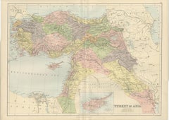
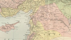
Antique Map Turkey in Asia, Ottoman Empire Anatolia Syria Iraq Black 1884 This detailed and beautifully engraved antique map titled Turkey in Asia was published in the New and Revised Edition of Black’s General Atlas of the World, issued in Edinburgh in 1884 by the respected Scottish cartographic publisher Adam and Charles Black. The map illustrates a vast portion of the Middle East during the late nineteenth century, when the region formed the Asian territories of the Ottoman Empire. The map centers on Anatolia, the great peninsula that today forms modern Turkey, shown here as the heartland of Ottoman Asia. The rugged mountain ranges, river systems, and historic provinces are carefully engraved, reflecting the high standard of Victorian atlas cartography. Numerous cities and towns are clearly marked, including Constantinople (Istanbul), Smyrna (Izmir), Angora (Ankara), Trebizond, and many other regional centers that played important roles in trade and administration. Extending southward, the map covers Syria and the Levant, including Damascus, Aleppo, and the Mediterranean coastal cities that historically linked the Ottoman interior with European commerce. Further south appear Palestine and the Sinai region, together with the eastern Mediterranean coastline. The map also includes the northern portion of Egypt, showing the Nile Delta and the strategic area surrounding the Suez Canal, which had opened only fifteen years earlier in 1869 and had quickly become one of the most important maritime routes in the world. To the east the map extends into Mesopotamia, depicting the great river valleys of the Tigris and Euphrates, including the historic cities of Mosul, Baghdad, and Basra. These regions formed key administrative provinces of the Ottoman Empire and were vital corridors connecting Anatolia with Persia and the Arabian Peninsula. The composition also includes parts of Armenia, Kurdistan, and the Caucasus along the northern and northeastern margins, as well as portions of Persia and Arabia to the southeast. An inset map of Cyprus appears at the bottom, highlighting the island’s strategic importance in the eastern Mediterranean. Cyprus had recently come under British administration in 1878, reflecting the shifting geopolitical dynamics of the region during the late nineteenth century. The map is engraved with remarkable clarity, featuring finely drawn coastlines, mountain relief, and a delicate latitude and longitude grid. Land areas are distinguished with subtle printed color, a typical feature of high-quality Victorian atlas production. The understated color scheme and precise engraving give the map both historical authority and strong decorative appeal. Maps from Black’s General Atlas were widely respected for their accuracy and clarity and were used throughout the British world in schools, libraries, and government institutions. Today they are highly appreciated by collectors for their elegant engraving and for the insight they provide into the political geography of the late nineteenth century. This map was published in the New and Revised Edition of Black’s General Atlas of the World, Edinburgh, 1884. This example is an original antique steel engraving with original printed color applied at the time of publication. It is not a modern reproduction. Any presentation images showing the print framed are for visual inspiration only. The map is supplied unframed. Condition: Good antique condition with light age toning consistent with age and a central fold from the original atlas binding. A small tear near the folding split. The engraving remains crisp and the printed color remains clear and attractive. Framing tips: This map displays beautifully in a wide horizontal frame. A dark walnut or classic black frame combined with an ivory or museum-white mat will emphasize the delicate engraving and warm tones of the nineteenth-century printed color. Technique: Steel engraving with original printed color Maker: Adam & Charles Black, Edinburgh, 1884 Keyword block: Turkey in Asia, Ottoman Empire, Anatolia, Asia Minor, Syria, Palestine, Mesopotamia, Iraq, Baghdad, Mosul, Basra, Damascus, Aleppo, Constantinople, Istanbul, Smyrna, Izmir, Angora, Ankara, Armenia, Kurdistan, Caucasus, Persia, Iran, Arabia, Nile Delta, Egypt, Suez Canal, Cyprus, Eastern Mediterranean, Middle East map, Ottoman provinces, nineteenth century Middle East, Victorian atlas map, Black’s General Atlas, antique Turkey map...

Category

Late 19th Century Scottish Antique Maps
Materials

Paper

Indian Territory Map 1888 – Rand McNally Antique Lithograph

Indian Territory Map 1888 – Rand McNally Antique Lithograph

Located in Langweer, NL

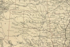
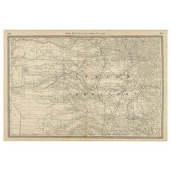
Indian Territory Map 1888 – Rand McNally Antique Lithograph This antique 1888 map of Indian Territory, published by Rand, McNally & Co., is a remarkable record of the region that wo...

Category

Late 19th Century American Antique Maps

Materials

Paper

Antique Map Set East Indies – India, Indochina, Indonesia, Zatta 1784

Antique Map Set East Indies – India, Indochina, Indonesia, Zatta 1784

Located in Langweer, NL

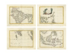
Antique Map Set East Indies – India, Indochina, Indonesia, Zatta 1784 This impressive set of four antique maps forms the large composite map “Indie Orientali,” depicting South and S...

Category

Late 18th Century Antique Maps

Materials

Paper

Old Map of Arabian Peninsula and Canaan, Highlighting Biblical Territories, 1750

Old Map of Arabian Peninsula and Canaan, Highlighting Biblical Territories, 1750

Located in Langweer, NL

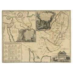
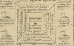
This antique map, titled "Terre de Chanaan ou Terre Promise a Abraham," is a finely detailed copper-engraved map created around 1750 by Delamarche in Paris, based on earlier works by...

Category

1750s French Antique Maps

Materials

Paper

Map of Northern India and Pakistan 'Mogol', Showing Kabul, Delhi Etc., 1758

Map of Northern India and Pakistan 'Mogol', Showing Kabul, Delhi Etc., 1758

Located in Langweer, NL

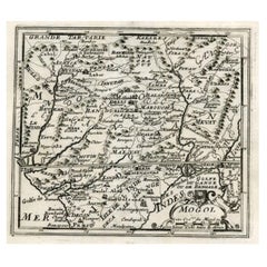
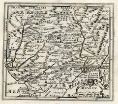
Antique map titled 'Mogol'. Map of Northern India and Pakistan ('Mogol'), showing Kabul, Delhi and surroundings. This map originates from 'Kort begrip der Oude en Nieuwe Staatkun...

Category

1750s Antique Maps

Materials

Paper

Irlandia – Antique Miniature Map of Ireland, Latin Cartography by Du Val c.1679

Irlandia – Antique Miniature Map of Ireland, Latin Cartography by Du Val c.1679

Located in Langweer, NL

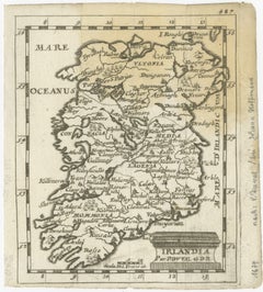
Title: IRLANDIA – Antique Map of Ireland, Latin Cartography by Du Val c.1650 Description: This original antique map depicts the island of Ireland under the Latin title “Irlandia” an...

Category

Late 17th Century French Antique Maps

Materials

Paper

Antique Map of Persia, Georgia and Tartary by Bonne, Central Asia, c.1780

Antique Map of Persia, Georgia and Tartary by Bonne, Central Asia, c.1780

Located in Langweer, NL

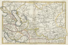
Antique Map of Persia, Georgia and Tartary by Bonne, Central Asia, c.1780 A finely engraved and historically significant map titled “Carte de la Perse, de la Georgie, et de la Tarta...

Category

Late 18th Century French Antique Maps

Materials

Paper

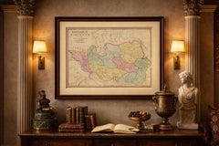
Imperial Tartary Blaeu Map, Central Asia Caravan Scene c.1642

Imperial Tartary Blaeu Map, Central Asia Caravan Scene c.1642

Located in Langweer, NL

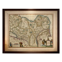
Imperial Tartary Blaeu Map, Central Asia Caravan Scene c.1642 A visually captivating and highly decorative map of Tartary and Central Asia, extending from Eastern Europe across Sibe...

Category

Mid-17th Century Dutch Antique Maps

Materials

Paper

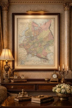
Antique Map Russia in Europe, Bartholomew for Black’s General Atlas - 1884

Antique Map Russia in Europe, Bartholomew for Black’s General Atlas - 1884

Located in Langweer, NL

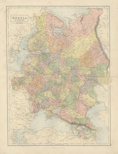
Antique Map Russia in Europe, Bartholomew for Black’s General Atlas 1884 Description: This detailed map titled “Russia in Europe” was published in the New and Revised Edition of Bla...

Category

Late 19th Century Scottish Antique Maps
Materials

Paper

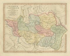
Parthian Empire Map, Arsacid Persia & Bactria, Wilkinson London 1817

Parthian Empire Map, Arsacid Persia & Bactria, Wilkinson London 1817

Located in Langweer, NL

Parthian Empire Map, Arsacid Persia & Bactria, Wilkinson London 1817 This finely engraved and delicately hand-colored map depicts the Parthian Empire at the height of the Arsacid dy...

Category

Early 19th Century British Antique Maps
Materials

Paper

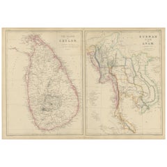
Ceylon, Burmah, Siam and Anam, Antique Map of South & Southeast Asia, 1860

Ceylon, Burmah, Siam and Anam, Antique Map of South & Southeast Asia, 1860

Located in Langweer, NL

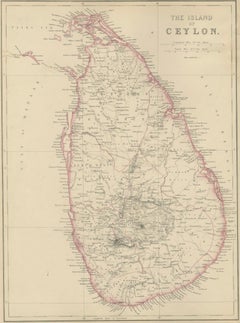
Ceylon, Burmah, Siam and Anam, Antique Map of South & Southeast Asia, 1860 Description: This original antique map presents two detailed panels titled The Island of Ceylon and Burmah, Siam and Anam, offering a mid-19th-century British cartographic view of South and Southeast Asia. The map originates from The Imperial Atlas of Modern Geography and was published in 1860 by W. G. Blackie, one of the leading British atlas publishers of the Victorian era. The left panel depicts the island of Ceylon (present-day Sri Lanka), clearly outlined in original hand coloring. Mountain ranges, river systems, towns, roads, and coastal features are finely engraved, reflecting British colonial administration and geographic knowledge during the period when Ceylon was a Crown Colony. Ports, inland settlements, and plantation regions are carefully marked, emphasizing the island’s strategic and economic importance in the Indian Ocean. The right panel shows mainland Southeast Asia, covering Burmah (Myanmar), Siam (Thailand), and Anam (central Vietnam), with surrounding regions including parts of Laos, Cambodia, and the Malay Peninsula. Political boundaries are distinguished by subtle hand coloring, while rivers such as the Irrawaddy, Salween, Mekong, and Chao Phraya structure the geography. Coastal outlines along the Bay of Bengal, Gulf of Siam, and South China Sea are precisely rendered, highlighting key ports, trade routes, and colonial spheres of influence. Together, the two panels reflect 19th-century European interest in Asia as a region of trade, empire, and strategic expansion. The balanced layout, fine engraving, and restrained original coloring give the map both scholarly authority and strong decorative appeal, making it suitable for collectors of Asian and colonial cartography as well as for interior designers seeking a refined historical wall piece. Condition report: Good antique condition. Light overall age toning consistent with age. Minor scattered foxing and light handling marks, mostly confined to the margins. Original central folds as issued. No major tears or losses. Framing tips: A wide ivory or warm cream mat will enhance the engraved detail and soft hand coloring. A dark walnut, black, or subtle antique gilt frame complements the map’s academic and exploratory character. Museum or UV-protective glass is recommended. Technique: Copper engraving with original hand coloring Maker: W. G. Blackie, Scotland, 1860 Keywords: Ceylon map, Sri Lanka map, Island of Ceylon, Colombo, Kandy, Galle, Trincomalee, Indian Ocean map, British Ceylon, plantation era, tea and spice trade, Burmah map, Burma map, Myanmar map, Rangoon, Mandalay, Irrawaddy River, Salween River, Siam map...

Category

Mid-19th Century British Antique Maps
Materials

Paper

Large Antique Map of India – Post Roads and Dak Stations by James Wyld, c.1855

Large Antique Map of India – Post Roads and Dak Stations by James Wyld, c.1855

Located in Langweer, NL

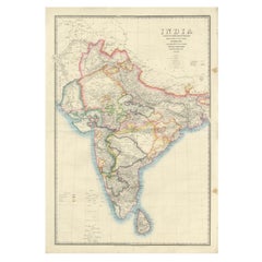
Antique Map of India – Post Roads and Dak Stations by James Wyld, c.1855 This impressive antique map titled "India Shewing the Post Roads and Dak Stations" was engraved and publishe...

Category

Mid-19th Century English Antique Maps
Materials

Paper

Spectacular 1770 Bird's-Eye View of Dunkirk Harbor by Basset, with 66 Landmarks

Spectacular 1770 Bird's-Eye View of Dunkirk Harbor by Basset, with 66 Landmarks

Located in Langweer, NL

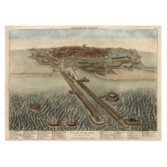
This engraving, titled *Vue de Dunkerque du coté de la Mer*, is a spectacular bird's-eye view of Dunkirk from the sea, published by Basset around 1770. It provides a detailed panor...

Category

1770s Antique Maps

Materials

Paper

Antique Map of Westfalia, Germany by Mercator/Hondius, circa '1620'

Antique Map of Westfalia, Germany by Mercator/Hondius, circa '1620'

Located in Langweer, NL

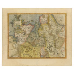
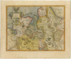
Antique map titled 'Westfalia cum dioecelsi Bremensi'. Original antique map of Germany. Published by Mercator/Hondius, circa '1620' 17th Century antique detailled map of Westphali...

Category

16th Century Antique Maps

Materials

Paper

Ancient Pannonia & Dacia Map — Roman Balkans Provinces, Wilkinson 1823

Ancient Pannonia & Dacia Map — Roman Balkans Provinces, Wilkinson 1823

Located in Langweer, NL

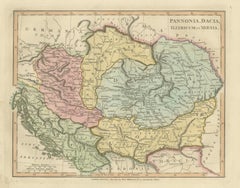
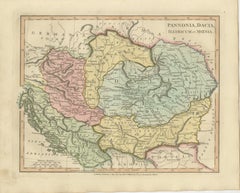
Ancient Pannonia & Dacia Map — Roman Balkans Provinces, Wilkinson 1823 This finely engraved and beautifully hand-colored antique map depicts the Roman provinces of Pannonia, Dacia, Illyricum, and Moesia, covering a vast portion of Central and Southeastern Europe during antiquity. Published in London in 1823 by the noted English cartographer Robert Wilkinson, the map forms part of his celebrated classical atlas illustrating the geography of the ancient world through historical scholarship and archaeological interpretation. The composition centers on the Danubian frontier of the Roman Empire, one of antiquity’s most strategically important regions. The Danube River (Danubius) winds prominently across the map, marking the northern defensive boundary of Roman civilization. Surrounding territories include parts of present-day Hungary, Austria, Croatia, Serbia, Romania, and Bulgaria, rendered according to classical geographic sources and Roman provincial organization. Provincial borders are delicately highlighted in original hand color, distinguishing Pannonia, Dacia, Moesia, and Illyricum while maintaining a refined and harmonious palette typical of early nineteenth-century English atlas production. Mountain ranges, rivers, and ancient settlements are engraved with remarkable density and clarity, reflecting the period’s growing fascination with Roman military history and imperial administration. The map illustrates regions closely associated with Roman expansion under emperors such as Trajan, whose conquest of Dacia represented one of the empire’s greatest territorial achievements. Numerous classical place names appear throughout, offering insight into Roman infrastructure, frontier settlements, and trade networks along the Balkans and Carpathian regions. Wilkinson’s classical maps are admired today for combining academic precision with strong decorative appeal. Their balanced typography, elegant engraving style, and subtle coloring make them equally suitable for scholarly collections and refined interior design settings. This sheet, with its wide geographic scope and historical resonance, is particularly attractive for collectors interested in Roman history and European antiquity. A sophisticated and historically rich decorative map appealing to collectors of classical cartography, Roman antiquity, and early nineteenth-century English atlas engraving. Condition: Good antique condition overall. Light age-related toning and occasional spotting consistent with age. Minor edge wear and faint handling marks confined mainly to the margins. Plate mark visible. Framing tips: Excellent in a dark walnut or antiqued gilt frame with a warm ivory mat. A generous mat enhances the soft hand coloring and allows the detailed provincial borders to remain visually calm and readable in both traditional and contemporary interiors. Technique: Copperplate engraving with original hand color Maker: Robert Wilkinson, London, 1823 keywords: Pannonia, Dacia, Illyricum, Moesia, Danubius River, Roman Empire frontier, Balkans, Carpathian Mountains, Thracia, Macedonia, Germania, Sarmatia, Adriatic Sea, Danube frontier, Roman provinces map, Ancient Balkans, Roman military provinces, Trajan Dacia, Central Europe antiquity, Hungary, Croatia, Serbia, Romania, Bulgaria, Classical geography, Wilkinson Atlas 1823, Antique Roman map...

Category

Early 19th Century British Antique Maps
Materials
Paper