Maps

to
2,312
5,885
245
6,132
4
1
6,059
117
2,038
6,137
6,137
6,137
Maps For Sale
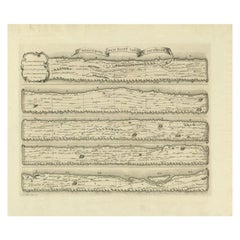
Antique Map Made After a Roman Papyrus Travel Map, Known as Peutinger Map, 1773

Antique Map Made After a Roman Papyrus Travel Map, Known as Peutinger Map, 1773

Located in Langweer, NL

Old Dutch engraving with title: 'Romeinsche Reis Kaart van K. Peutinger'. Rare antique map based on the original 'Peutinger' map, the map has the shape of papyrus scrolls. Originat...

Category

18th Century Antique Maps

Materials

Paper

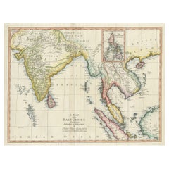
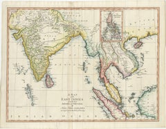
Antique Map of the East Indies by T. Kitchin, Engraved, Circa 1779

Antique Map of the East Indies by T. Kitchin, Engraved, Circa 1779

Located in Langweer, NL

Antique map titled 'A Map of the East Indies (..)'. Large antique map of Southeast Asia, India, and part of China, extending to Tibet, the Maladives, Sumatra, part of Borneo, Hainan,...

Category

Late 18th Century British Antique Maps

Materials

Paper

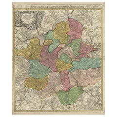
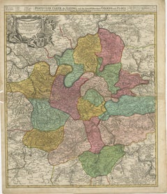
Detailed 18th-Century Map of Paris and Its Surrounding Regions by Johann Homann

Detailed 18th-Century Map of Paris and Its Surrounding Regions by Johann Homann

Located in Langweer, NL

This map, titled “Agri Parisiensis Tabula particularis,” was created and published by the German cartographer Johann Baptist Homann (1664–1724), or his workshop, in Nuremberg. Homann...

Category

1720s Antique Maps

Materials

Paper

Antique Print of Gibraltar, Spanish Colony in Europe 1858

Antique Print of Gibraltar, Spanish Colony in Europe 1858

Located in Langweer, NL

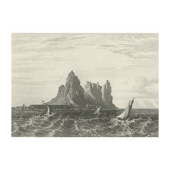
Antique print titled 'Gibraltar from the Sea'. Original antique print with a view of Gibraltar. This print originates from 'The History Of The War With Russia: Giving Full Details Of...

Category

19th Century Antique Maps

Materials

Paper

1802 German Map of Kashmir and Surrounding Regions by Weimar, Based on Gentil

1802 German Map of Kashmir and Surrounding Regions by Weimar, Based on Gentil

Located in Langweer, NL

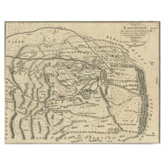
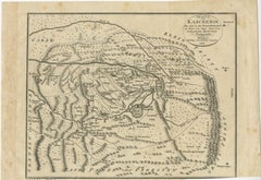
Title: 1802 German Map of Kashmir and Surrounding Regions by Weimar, Based on Gentil Description: This rare and finely detailed antique map, titled Charte von Kaschemir, was pub...

Category

Early 1800s Antique Maps

Materials

Paper

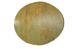
20th Century Large Vintage Oval Wall Map of the World Globe Conference Table 13'

20th Century Large Vintage Oval Wall Map of the World Globe Conference Table 13'

Located in Dayton, OH

Monumental oval classroom map of the world / wall globe from the second half of the 20th century. A two piece sculpture design made with heavy wood and metal trim paneling. Can be ...

Category

20th Century Maps

Materials

Metal

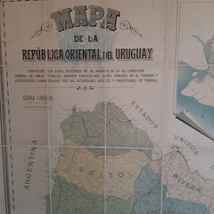
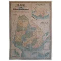
Cortesi's Masterpiece: A Comprehensive and Authoritative Map of Uruguay, 1903

Cortesi's Masterpiece: A Comprehensive and Authoritative Map of Uruguay, 1903

Located in Langweer, NL

Antique map titled 'Mapa de la Republica Oriental del Uruguay'. Large and detailed folding map of Uruguay. This monumental map depicts all of Uruguay with unprecedented accuracy and detail. Impressively, it serves the multiple roles of being an advanced topographic, economic and political map, as well as being a meticulous sea chart of the Rio de la Plata and the adjacent waters of the Atlantic. The republic's 20 departments are defined in various colors, while a legend, 'Referencias' identifies symbols representing the locations of departmental capitals, town, roads, railways, public schools and lighthouses, amongst other details. Every single river and stream is delineated and named and the ridges of hills are delicately expressed. The map features four insets, including a large map of the capital, Montevideo, as well as maps of Colonia, Maldonado and Punta del Este and the Island of Flores. The hydrographical information provided is truly profound, and renders the map fit for use in maritime commerce. In 1901, the Uruguayan House of Representatives commissioned the geographer Saturnino Cortesi to employ the most progressive geographical sources, both military and civilian, to devise an authoritative national map of the republic. Cortesi clearly had access to a vast archive of topographical surveys...

Category

Early 20th Century Maps

Materials

Paper

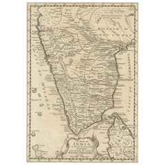
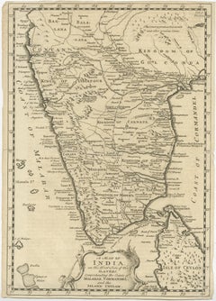
Original Detailed Antique Map of Southern India and Most of Ceylon, 1744

Original Detailed Antique Map of Southern India and Most of Ceylon, 1744

Located in Langweer, NL

Antique map titled 'A Map of India on the west Side of the Ganges, comprehending the coasts of Malabar, Coromandel and the Island Ceylon'. Map of Southern India and most of Ceylo...

Category

1740s Antique Maps

Materials

Paper

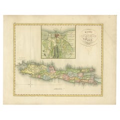
Antique Map of Java and Batavia of nowadays Indonesia, '1818'

Antique Map of Java and Batavia of nowadays Indonesia, '1818'

Located in Langweer, NL

Antique map titled 'Kaart van het Eiland Java'. A rare and attractive early 19th century Dutch map of Java with a large inset map of Batavia. One of 12 maps from 'Atlas van Overzeesc...

Category

Early 19th Century Antique Maps

Materials

Paper

1667 Melchior Tavernier Map of the Patriarchate of Constantinople – Black Sea

1667 Melchior Tavernier Map of the Patriarchate of Constantinople – Black Sea

Located in Langweer, NL

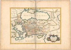
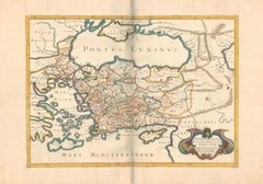
This 1667 map titled "Patriarchatus Constantinopolitani Geographica Descriptio" was crafted by renowned French cartographer Melchior Tavernier, who was a prominent map engraver during the 17th century. This rare and historically significant map focuses on the territories under the ecclesiastical jurisdiction of the Patriarchate of Constantinople, one of the most important centers of the Eastern Orthodox Church. It covers regions around the Black Sea (Pontus Euxinus), parts of Greece, and adjacent areas in Asia Minor and the Balkans, which were historically vital during the Byzantine and Ottoman Empires. The map is filled with ancient place names, making it a valuable resource for both historical and cartographic enthusiasts. Key Features: - Antique ecclesiastical map illustrating the influence of the Orthodox Patriarchate of Constantinople in the 17th century. - Features beautifully detailed ancient coastlines, rivers, and terrains, providing a comprehensive geographical view of the region. - Rich with historic place names - like Byzantium, Nicomedia, Nicaea, Cyzicus, Bithynia, Pontus, Macedonia, and Thrace - that date back to the classical era, offering insights into the ancient geography of the eastern Mediterranean. - A finely engraved strapwork cartouche in the lower right corner with Baroque-style decoration, featuring two putti (cherubic figures) – a hallmark of 17th-century map art. - The map extends to include the Mediterranean Sea (Mare Mediterraneum) to the south and the Black Sea to the north, highlighting its ecclesiastical and geopolitical significance. - Original hand coloring may still be present, enhancing the decorative appeal for collectors of antique maps. This rare map offers a unique perspective on the religious influence and historical geography of the Eastern Mediterranean during the late 17th century. It would appeal to collectors interested in: - **Byzantine history** - **Ottoman Empire** - **Eastern Orthodox Church** - **Antique cartography...

Category

1660s French Antique Maps

Materials

Paper

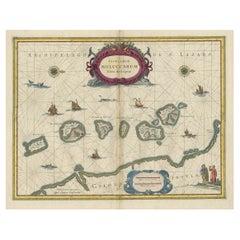
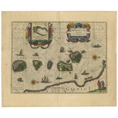
Antique Map of the Spice Islands 'Moluccas', Indonesia by W. Blaeu, circa 1640

Antique Map of the Spice Islands 'Moluccas', Indonesia by W. Blaeu, circa 1640

By Willem Blaeu

Located in Langweer, NL

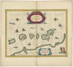
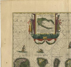
Antique map titled 'Moluccae Insulae Celeberrimae'. Highly decorative antique map of the Spice Islands (Moluccas) published by W. Blaeu (circa 1640). This map features a large inset ...

Category

Mid-17th Century Dutch Antique Maps

Materials

Paper

Small Antique World Map in Decorative Old Hand-Colouring, circa 1840

Small Antique World Map in Decorative Old Hand-Colouring, circa 1840

Located in Langweer, NL

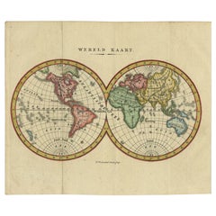
Antique map titled 'Wereld Kaart'. Small and very decorative double hemisphere world map. Source unknown, to be determined. Published c.1840. Artists and Engravers: Daniel Veelwaa...

Category

19th Century Antique Maps

Materials

Paper

1606 Hand-Colored Woodcut Map of Sumatra from Ramusio’s Delle Navigationi

1606 Hand-Colored Woodcut Map of Sumatra from Ramusio’s Delle Navigationi

Located in Langweer, NL

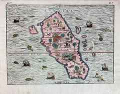
This is a fascinating woodcut map titled Taprobana, depicting the island of Sumatra, hand-colored, and published in Venice in 1606. The map originates from Giovanni Battista Ramusio’...

Category

Early 1600s Italian Antique Maps

Materials

Paper

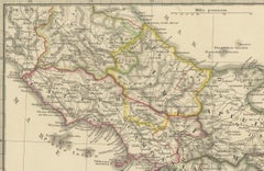
Antique Map of Italy with an Inset of Rome, 1812

Antique Map of Italy with an Inset of Rome, 1812

Located in Langweer, NL

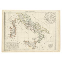
Antique map titled 'Italie Ancienne'. Old map of ancient Italy, with an inset map of the region of Rome. This map originates from 'Atlas Supplementaire du Precis de la Geographie...

Category

19th Century Antique Maps

Materials

Paper

Original Antique Map of Munich, Germany by J. Stockdale, 1800

Original Antique Map of Munich, Germany by J. Stockdale, 1800

Located in Langweer, NL

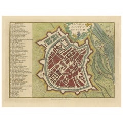
Title: Vintage Map of Munich, Germany by J. Stockdale, 1800 This vintage map, titled "A Plan of the City of Munich," was published by J. Stockdale in Piccadilly, London, in 1800. Th...

Category

Early 1800s Antique Maps

Materials

Paper

Thraciae Veteris Typus – 1618 Ortelius Map of Ancient Thrace with Hand Color

Thraciae Veteris Typus – 1618 Ortelius Map of Ancient Thrace with Hand Color

Located in Langweer, NL

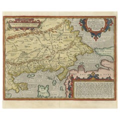
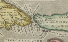
Thraciae Veteris Typus – 1618 Ortelius Map of Ancient Thrace with Hand Color This striking early 17th-century map, Thraciae Veteris Typus, was published in 1618 by Abraham Orteliu...

Category

Early 1600s Antique Maps

Materials

Paper

Antique Map of the Bolaang Mongondow District on Sulawesi by Stemler, c.1875

Antique Map of the Bolaang Mongondow District on Sulawesi by Stemler, c.1875

Located in Langweer, NL

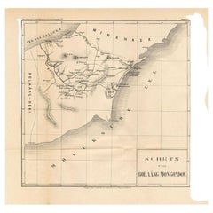
Antique map titled 'Schets van Bolaang-Mongondow.' This map shows the Bolaang Mongondow district on the Indonesian island of Sulawesi. Originates from 'Tijdschrift Aardrijkskundig Ge...

Category

19th Century Antique Maps

Materials

Paper

Gateway to the Steppes: Tallis's Masterpiece Map of Indepent Tartary, 1851

Gateway to the Steppes: Tallis's Masterpiece Map of Indepent Tartary, 1851

Located in Langweer, NL

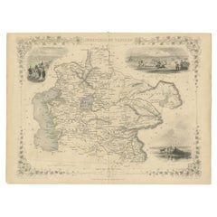
The map is of "Independent Tartary," a historical region in Central Asia that covered parts of what are now Kazakhstan, Uzbekistan, Turkmenistan, and surrounding areas. The map was p...

Category

1850s Antique Maps

Materials

Paper

Antique Engraving of Blaeu's first Map of Brazil, Circa 1640

Antique Engraving of Blaeu's first Map of Brazil, Circa 1640

By Willem Blaeu

Located in Langweer, NL

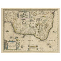
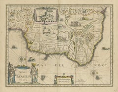
Antique map titled 'Novus Brasiliae Typus'. Fine old color example of Blaeu's first map of Brazil, with north oriented to the right. Includes inset map of Baya de todos Santos, elaborate cartouche, 2 compass roses and richly embellished vignettes of native Brazilian life and animals. The interior of the map includes vignettes of indigenous animals and native scenes, including cannibalism. Inset within a decorative border is a small map of "Baya de todos Sanctos". In the sea are monsters, a galleon and two compass roses. The large title cartouche features a male and female Brazilian, both of whom are shown naked. Willem Janszoon Blaeu (1571-1638) was a prominent Dutch geographer and publisher. Born the son of a herring merchant, Blaeu chose not fish but mathematics and astronomy for his focus. He studied with the famous Danish astronomer Tycho Brahe...

Category

Mid-17th Century Dutch Antique Maps

Materials

Paper

Antique Print of a Statue of Niobe by Knight, 1835

Antique Print of a Statue of Niobe by Knight, 1835

Located in Langweer, NL

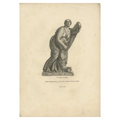
Antique print titled 'Statue of Niobe'. Old print of a statue of Niobe. Made after a statue by Piranesi. This print originates from 'One Hundred and Fifty Wood Cuts selected from the...

Category

19th Century Antique Maps

Materials

Paper

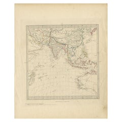
Antique Map of Southeast Asia by Walker, c.1845

Antique Map of Southeast Asia by Walker, c.1845

Located in Langweer, NL

"Untitled map of southeast Asia. This map depicts India, Indonesia, Australia and surrounding regions. Also depicts a large part of the Indian Ocean. Artists and Engravers: Engraved ...

Category

19th Century Antique Maps

Materials

Paper

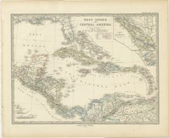
1880 Map of the Caribbean and Central America by Adolf Stieler

1880 Map of the Caribbean and Central America by Adolf Stieler

Located in Langweer, NL

This is a detailed map titled "West-Indien und Central-Amerika," created by Adolf Stieler and published in Gotha in 1880. The map covers the Caribbean islands and the Central America...

Category

1880s Antique Maps

Materials

Paper

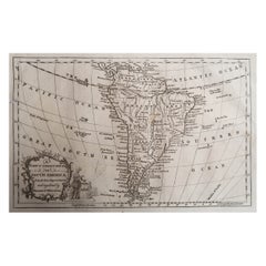
Original Antique Map of South America. C.1780

Original Antique Map of South America. C.1780

Located in St Annes, Lancashire

Great map of South America Copper-plate engraving Published C.1780 Two small worm holes to left side of map Unframed.

Category

Early 1800s English Georgian Antique Maps

Materials

Paper

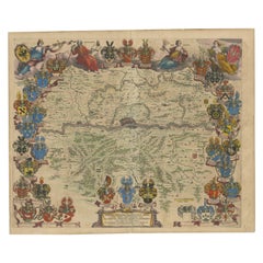
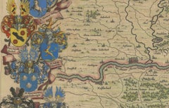
1663 Blaeu's Engraved Map of Frankfurt with Decorative Coats of Arms

1663 Blaeu's Engraved Map of Frankfurt with Decorative Coats of Arms

Located in Langweer, NL

This map, titled "Novam Hanc Territorii Francofurtensis Tabulam," is an exquisite hand-colored engraved map from around 1663, created by the renowned cartographers J. and C. Blaeu of...

Category

1660s Dutch Antique Maps

Materials

Paper

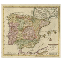
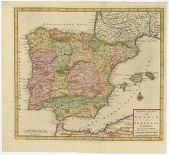
Attractive Engraved Old Map Showing Spain, Portugal Majorca, Ibiza etc. ca.1760

Attractive Engraved Old Map Showing Spain, Portugal Majorca, Ibiza etc. ca.1760

Located in Langweer, NL

Antique map titled 'Nieuwe Kaart van Spanje en Portugal.' Attractive detailed map showing Spain and Portugal. Including Majorca, Minorca and Ibiza. Title in block-style cartouche...

Category

1760s Antique Maps

Materials

Paper

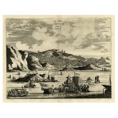
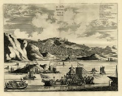
Original Antique Engraving of Sakai in the Osaka Prefecture, Japan, 1669

Original Antique Engraving of Sakai in the Osaka Prefecture, Japan, 1669

Located in Langweer, NL

Antique print, titled: 'De Stadt Saccai. La Ville de Saccai.' - ('The City Saccai'). This plate shows a view of Sakai in the Osaka Prefecture, Japan. Sakai has been one of the la...

Category

1660s Antique Maps

Materials

Paper

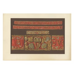
Antique Print of Ribbons of King James VI by Gibb, 1890

Antique Print of Ribbons of King James VI by Gibb, 1890

Located in Langweer, NL

Antique print titled 'Leading Strings of King James VI'. Chromolithographic plate originating from 'The Royal House of Stuart. Illustrated By a Series of Fort...

Category

19th Century Antique Maps

Materials

Paper

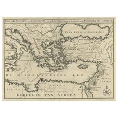
Scarce Map of the Mediterranean and Parts of Europe, Africa & Middle East, 1725

Scarce Map of the Mediterranean and Parts of Europe, Africa & Middle East, 1725

Located in Langweer, NL

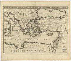
Antique map titled: Byzondere afbeelding der landschappen, van de Apostelen bevaren en doorwandelt, om het Evangelium J.C. te prediken. Scarce map of the Mediterranean and contigu...

Category

1720s Dutch Antique Maps

Materials

Paper

Unique Antique Projection of the World with Twice California as an Island, c1703

Unique Antique Projection of the World with Twice California as an Island, c1703

Located in Langweer, NL

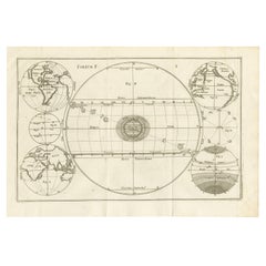
Description: Antique map of the world. Printed for Scherer's 'Atlas Novus' (1702-1710). On this old engraving you can find California as an Island twice! Rare! Artists and Eng...

Category

Early 1700s Antique Maps

Materials

Paper

Antique Map of British North America, The Dominion of of Canada, 1882

Antique Map of British North America, The Dominion of of Canada, 1882

Located in Langweer, NL

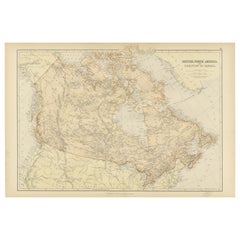
This map is titled "British North America, Dominion of Canada," from the 1882 Blackie Atlas. It features the geographical area that comprises modern-day Canada, with notable features...

Category

1880s Antique Maps

Materials

Paper

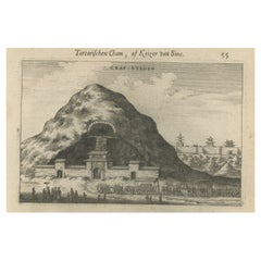
Antique Print of Graves Near the City of Nanjing in China, 1665

Antique Print of Graves Near the City of Nanjing in China, 1665

Located in Langweer, NL

Antique print titled 'Graf-Steden'. Old print depicting graves near the city of Nanjing, China. This print originates from 'Het gezantschap der Nee^rlandtsche Oost-Indische Compagnie...

Category

17th Century Antique Maps

Materials

Paper

Striking Antique Map Centered on the Malay Peninsula, 1706

Striking Antique Map Centered on the Malay Peninsula, 1706

By Pieter Van Der Aa

Located in Langweer, NL

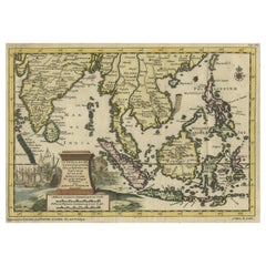
Antique map titled 'D'Indiaanze Landschappen Zeen en Eylanden, van Couchin af tot in de Moluccos (...)'. Striking map of the region from the Philippines and Formosa to India and th...

Category

Early 18th Century Dutch Antique Maps

Materials

Paper

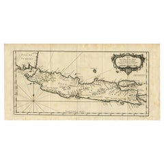
Antique Map of Java and Madura Island, Indonesia, c.1760

Antique Map of Java and Madura Island, Indonesia, c.1760

Located in Langweer, NL

Antique map titled 'Idee de l'Isle de Java.' Well engraved and attractive chart of the island shows all principal harbors and coastal details, plus rivers, mountains and volcanoe...

Category

18th Century Antique Maps

Materials

Paper

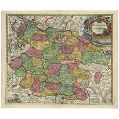
Regional Map of Germany, inc Hamburg, Luneberg, Hannover, Braunsweig etc, c.1720

Regional Map of Germany, inc Hamburg, Luneberg, Hannover, Braunsweig etc, c.1720

Located in Langweer, NL

Antique map titled 'Ducatus Luneburgici et Comitatus Dannebergensis accurata Descriptio.' This detailed regional map includes Hamburg, Luneberg, and as far south as Hannover, Bra...

Category

1720s Antique Maps

Materials

Paper

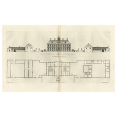
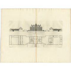
Antique Print of Horseheath Hall in Cambridgeshire, England, 1725

Antique Print of Horseheath Hall in Cambridgeshire, England, 1725

Located in Langweer, NL

Antique print titled 'General front of Horse heath Hall in Cambridgeshire (..)'. Old engraving of Horseheath Hall, Cambridgeshire. The original Hall was the home of the Alington family and was visited by Queen Elizabeth 1...

Category

18th Century Antique Maps

Materials

Paper

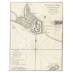
Detailed Original Antique Plan of the City and Fort of Malacca, Malaysia, 1764

Detailed Original Antique Plan of the City and Fort of Malacca, Malaysia, 1764

Located in Langweer, NL

Description: Antique map titled 'Plan de la Ville et Forteresse de Malaca'. Detailed plan of the city and fort of Malacca on the southern Malay Peninsula, commanding the strategic st...

Category

1760s Antique Maps

Materials

Paper

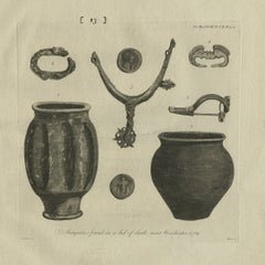
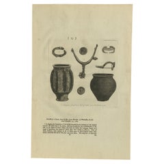
Old Engraving of Antiquities found in a Bed of Chalk, Winchester, England, 1789

Old Engraving of Antiquities found in a Bed of Chalk, Winchester, England, 1789

Located in Langweer, NL

Antique print titled 'Antiquities found in a bed of chalk, near Winchester, 1789'. Antique print depicting antiquities found near Winchester. Artists and Engravers: Made by J. Basire...

Category

18th Century Antique Maps

Materials

Paper

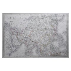
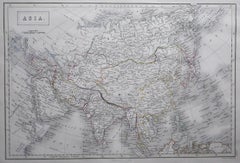
Large Original Antique Map of Asia by Sidney Hall, 1847

Large Original Antique Map of Asia by Sidney Hall, 1847

Located in St Annes, Lancashire

Great map of Asia Drawn and engraved by Sidney Hall Steel engraving Original colour outline Published by A & C Black. 1847 Unframed Free shipping

Category

1840s Scottish Antique Maps

Materials

Paper

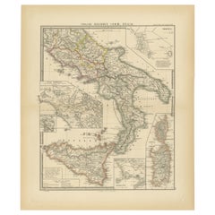
Antique Map of The Regions of Italy and Sicily during the Roman Empire, 1880

Antique Map of The Regions of Italy and Sicily during the Roman Empire, 1880

Located in Langweer, NL

This map is an original antique engraving titled "ITALIAE REGIONES IIII SICILIA," which translates to "The Regions of Italy and Sicily." This detailed historical map portrays the reg...

Category

1880s Antique Maps

Materials

Paper

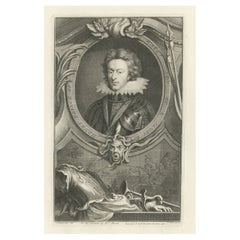
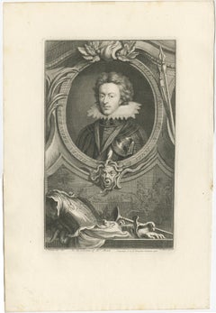
Old Portrait of Henry Frederick, Prince of Wales, c.1750

Old Portrait of Henry Frederick, Prince of Wales, c.1750

Located in Langweer, NL

Antique portrait titled 'Henry, Prince of Wales, Son of K. James I'. Old portrait of Henry Frederick. Henry Frederick, Prince of Wales (1594-1612) was the elder son of James VI and I, King of England and Scotland, and his wife, Anne of Denmark. Prince Henry was widely seen as a bright and promising heir to his father's thrones. However, at the age of 18, he predeceased his father when he died of typhoid fever. His younger brother Charles succeeded him as heir apparent to the English, Irish and Scottish thrones...

Category

1750s Antique Maps

Materials

Paper

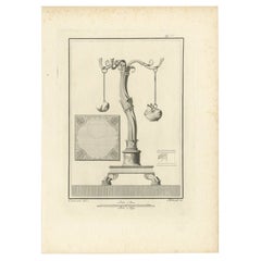
Antique Print of the Monuments of Herculaneum by Bayardi, 1762

Antique Print of the Monuments of Herculaneum by Bayardi, 1762

Located in Langweer, NL

Antique print originating from 'Le Antichita di Ercolano Esposte'. A vast survey of the bronzes, statues, wall-paintings, and monuments of Herculaneum. This monumental work was the f...

Category

18th Century Antique Maps

Materials

Paper

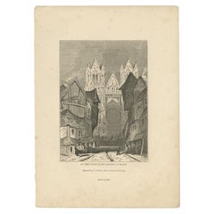
Antique Print of Reims Cathedral by Knight, 1835

Antique Print of Reims Cathedral by Knight, 1835

Located in Langweer, NL

Antique print titled 'West Front of the Cathedral at Rheims'. Old print of Reims Cathedral, a Roman Catholic cathedral in the French city of the same n...

Category

19th Century Antique Maps

Materials

Paper

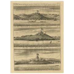
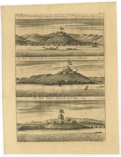
Copperplate Engraving Showing Forts on the West African Gold Coast, Ghana, 1744

Copperplate Engraving Showing Forts on the West African Gold Coast, Ghana, 1744

Located in Langweer, NL

Antique print, titled: 'The Fort Fredricksburg formerly to ye Danes and now Fort Royal (…).' - A three panel copperplate engraving showing three forts on the West African Gold Coast, Ghana; a) The Fort Fredricksburgh formerly to ye Danes and now Fort Royal. English at Manfroe, b) The Fort Amsterdam at Cormentyn belonging to ye Hollanders, c) The Fort James, English at Accra. From: "A Collection of Voyages and Travels" published by John and Awnsham Churchill in London in 1744. Artists and Engravers: Made by 'Johannes Kip' after 'A. Churchill'. Johannes Kip (b Amsterdam, 1653; d London, 1722). Dutch draughtsman, engraver and dealer, active in England. He was a pupil of Bastiaen Stopendaal (1636–1707) from 1668 to 1670. His earliest dated engravings are of 1672 (e.g. the Siege of Groningen , Hollstein, no. 4), and he supplied numerous plates for books published from that date onwards. His work brought him into contact with the court of William of Orange and in 1686 he produced six plates depicting William of Orange, his Wife and Attendants near The Hague (Hollstein, no. 5). Shortly after the Glorious Revolution of 1688 Kip followed the court to England. After settling in Westminster, he worked extensively for London publishers, engraving works after Francis Barlow, Caius Gabriel Cibber (e.g. Interior of the Danish Church in London , 1697; Hollstein, no. 6) and other London-based artists. His engravings were principally destined for book illustrations. The work for which Kip is best remembered is his large corpus...

Category

1740s Antique Maps

Materials

Paper

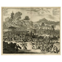
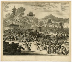
Original Antique Engraving of the Murder of Emperor Cubo in Kyoto, Japan, 1669

Original Antique Engraving of the Murder of Emperor Cubo in Kyoto, Japan, 1669

Located in Langweer, NL

Antique print, titled: ''t Vermoorde vande Keyser Cubus. Massacre de l'Empereur Cubo.' - ('Murder of the Emperor Cubo'). Two armies clash in Kyoto, where the reigning Emperor was...

Category

1660s Dutch Antique Maps

Materials

Paper

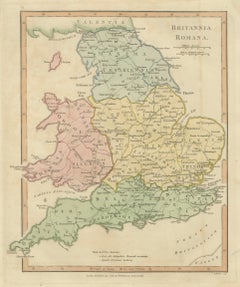
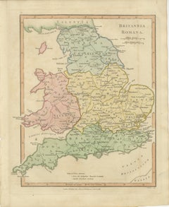
Roman Britain Map, Britannia Romana, Ancient England Wales Wilkinson 1817

Roman Britain Map, Britannia Romana, Ancient England Wales Wilkinson 1817

Located in Langweer, NL

Roman Britain Map, Britannia Romana, Ancient England Wales Wilkinson 1817 This finely engraved and delicately hand-colored map depicts Roman Britain, offering a detailed view of the...

Category

Early 19th Century British Antique Maps

Materials

Paper

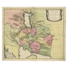
Imperii Persici Delineatio: A 1722 Cartographic Masterpiece of Persia by Schenk

Imperii Persici Delineatio: A 1722 Cartographic Masterpiece of Persia by Schenk

Located in Langweer, NL

Title: IMPERII PERCICI delineatio ex scriptis potissimum geographicis Arabum et Persarum Cartographer: Petrus Schenk (Pieter Schenk), 1722 An original antique hand-colored engraved...

Category

1720s Dutch Antique Maps

Materials

Paper

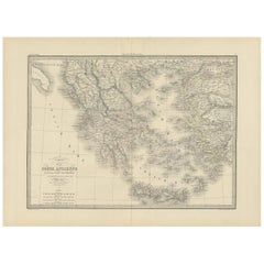
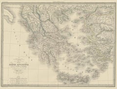
Antique 1842 Map of Greece by Pierre M. Lapie, Mid-19th Century

Antique 1842 Map of Greece by Pierre M. Lapie, Mid-19th Century

Located in Langweer, NL

Antique map titled 'Carte de la Grèce Ancienne'. Map of Greece. This map originates from 'Atlas universel de géographie ancienne et moderne (..)' by Pier...

Category

Mid-19th Century French Antique Maps

Materials

Paper

Ancient Course of the Ganges: A First Ptolemaic Map of India by Mercator, c.1584

Ancient Course of the Ganges: A First Ptolemaic Map of India by Mercator, c.1584

Located in Langweer, NL

This remarkable map, titled "Asiae X Tab:", is a significant historical artifact that represents the convergence of knowledge and craftsmanship from two of the most esteemed figures in the history of geography and cartography. Created by Gerard Mercator and based on the geographical insights of Claudius Ptolemy, this map is part of the rare first issue published in Brussels in 1578. The map itself meticulously delineates the region between the Indus and Ganges rivers, an area of immense historical and geographical importance. It is an excellent representation of Ptolemy's second-century geographical data, which was fundamental in shaping the modern principles of mapmaking. Mercator, renowned for his precision and dedication to adhering closely to Ptolemy's original intentions, showcases this commitment through the detailed depiction of this significant Asian landscape. This edition stands out not only for its historical accuracy but also for its artistic execution. Gerard Mercator, who was also an innovator in the use of the italic hand for map lettering, first introduced this style in his "Literarum latinarum" in 1540. The use of italics in this map enhances its legibility and aesthetic appeal, which became a hallmark of the finest sixteenth and seventeenth-century Dutch maps, largely attributed to Mercator’s influence. The map measures 13 ½ x 18 inches and features fine hand coloring, which has been preserved in almost excellent condition alttough there some browning due to age. As a splendid example of the first issue from Mercator’s definitive edition of Ptolemy’s "Geographia", it not only serves as a testament to the rich history of geographical exploration but also stands as a beacon of the enduring legacy of its makers, shaping the future of cartographic design and precision. The map "Asiae X Tab:", focusing on the region between the Indus and Ganges rivers, highlights several areas and cities of historical and geographical importance that are likely of interest to scholars, historians, and collectors. Here are key locations depicted on the map: 1. **Indus River**: As one of the major rivers of Asia and a cradle of ancient civilizations like the Indus Valley Civilization, the Indus River holds significant historical importance. 2. **Ganges River**: Another crucial river not just for its cultural and religious significance in India, but also as a vital geographic feature in ancient and medieval maps...

Category

16th Century Antique Maps
Materials

Paper

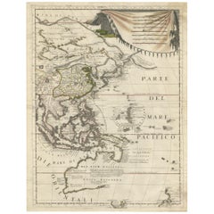
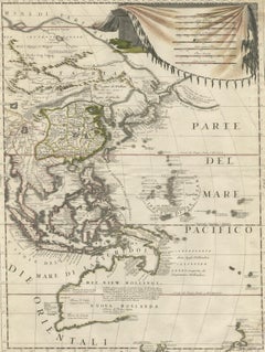
Antique Map of East Asia by Coronelli, circa 1690

Antique Map of East Asia by Coronelli, circa 1690

Located in Langweer, NL

Antique map of East Asia showing New Holland and parts of Van Diemens Land and New Zealand. This map is the right hand part of a two sheet map, but is complete on its own. This map o...

Category

Late 17th Century Antique Maps
Materials
Paper